Old Maps of Bangor, Michigan for Hiking & Exploration
Hike through history with 17 historic maps of Bangor. Explore old trails, ghost towns, and forgotten backroads — perfect for outdoor adventurers and local explorers.
- Rediscover forgotten places: Map out old mining camps, roads, and footpaths that no longer exist on modern maps.
- Layer with modern tools: Combine with LiDAR or satellite views to plan hikes through historical terrain.
- Made for exploration: Popular among hikers, overlanders, and local history lovers.
Use these maps to find adventure and explore the hidden past of Bangor.
Bangor, MI maps
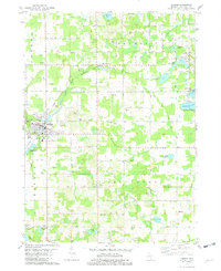
(17)- 1927 Map of Bangor, 1959 Print
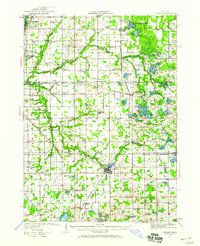 1927 Bangor1959 Print · USGSVan Buren and Allegan counties show a landscape of thriving lakeside resorts and rail-fed farming towns in the late twenties. Trace family roots at Kibbie Chapel or the many local schools like Garden of Eden School and Arlington Center School.2 unique versions available
 - 1931 Map of Bangor
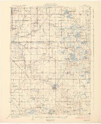 1931 Bangor1931 Print · USGSCoastal resorts and interior farmsteads meet in this early 1930s survey of the Michigan lakefront and the Black River basin. Researchers can trace the PERE MARQUETTE rail line through Grand Junction or locate family sites like Kibbie Chapel and Gardner of Eden Sch.3 unique versions available
 - 1943 Map of Bangor
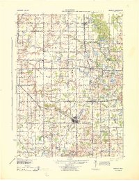 1943 Bangor1943 Print · USGSVan Buren and Allegan counties appear here during the wartime years, when the railway was still the lifeblood of rural Michigan. Genealogists can trace hundreds of farmsteads near Grand Junction, Kibbie, and historic schools like Garden Of Eden Sch.
 - 1958 Map of Racine, 1971 Print
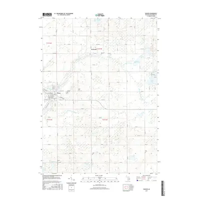
 1958 Racine1971 Print · USGSThe Lake Michigan shoreline in the late fifties was a study in contrasts between the industrial bustle of Kenosha and the quiet woods of the Allegan State Forest. Genealogists and historians can trace the urban footprint of Evanston or locate strategic sites like Fort Sheridan and the Wind Point Light.3 unique versions available
 - 1962 Map of Racine
 1962 Racine1962 Print · USGSThe Lake Michigan shoreline in the early sixties reveals a fascinating contrast between the dense industrial rail hubs of RACINE and CHICAGO and the forested dunes of Michigan. Local historians can trace military installations like Fort Sheridan or explore the numerous inland retreats around Paw Paw Lake and Sister Lakes.
 - 1981 Map of McDonald, 1982 Print
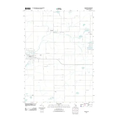
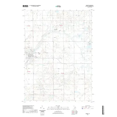
 1981 McDonald1982 Print · USGSIn the early 1980s, these rural townships west of Bangor were defined by the Chesapeake and Ohio railroad and a grid of family orchards. Researchers can trace historic settlements like McDonald and Toquin or locate family sites near Monk Cem and the Wood Sch.
 - 1981 Map of Bangor, 1982 Print
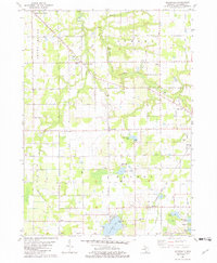
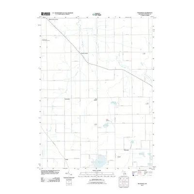
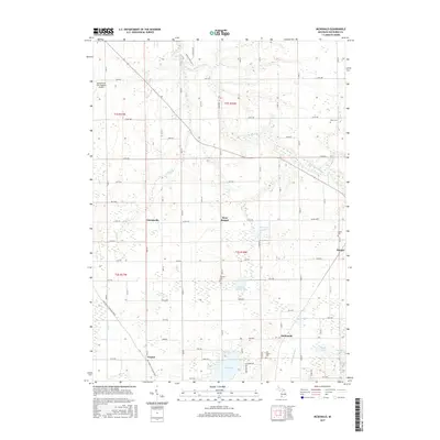
 1981 Bangor1982 Print · USGSVan Buren County in the early eighties shows a landscape shaped by the Black River and the railroad. Genealogists can trace family names at Arlington Hill Cem or Coburn Cem and locate rural landmarks like Arlington Center Sch.
 - 2011 Map of Bangor, 2011 Print
 2011 Bangor2011 Print · USGSCovers Bangor, including Breedsville, Bangor Township, and other nearby areas
 - 2011 Map of McDonald, 2011 Print
 2011 McDonald2011 Print · USGSCovers Bangor, including Bangor Township, Geneva Township, and other nearby areas
 - 2014 Map of Bangor, 2014 Print
 2014 Bangor2014 Print · USGSCovers Bangor, including Breedsville, Bangor Township, and other nearby areas
 - 2014 Map of McDonald, 2014 Print
 2014 McDonald2014 Print · USGSCovers Bangor, including Bangor Township, Geneva Township, and other nearby areas
 - 2017 Map of Bangor, 2017 Print
 2017 Bangor2017 Print · USGSCovers Bangor, including Breedsville, Bangor Township, and other nearby areas
 - 2017 Map of McDonald, 2017 Print
 2017 McDonald2017 Print · USGSCovers Bangor, including Bangor Township, Geneva Township, and other nearby areas
 - 2019 Map of Bangor, 2019 Print
 2019 Bangor2019 Print · USGSCovers Bangor, including Breedsville, Bangor Township, and other nearby areas
 - 2019 Map of McDonald, 2019 Print
 2019 McDonald2019 Print · USGSCovers Bangor, including Bangor Township, Geneva Township, and other nearby areas
 - 2023 Map of Bangor, 2023 Print
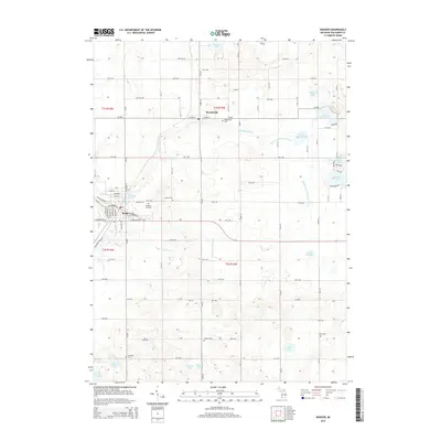
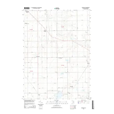
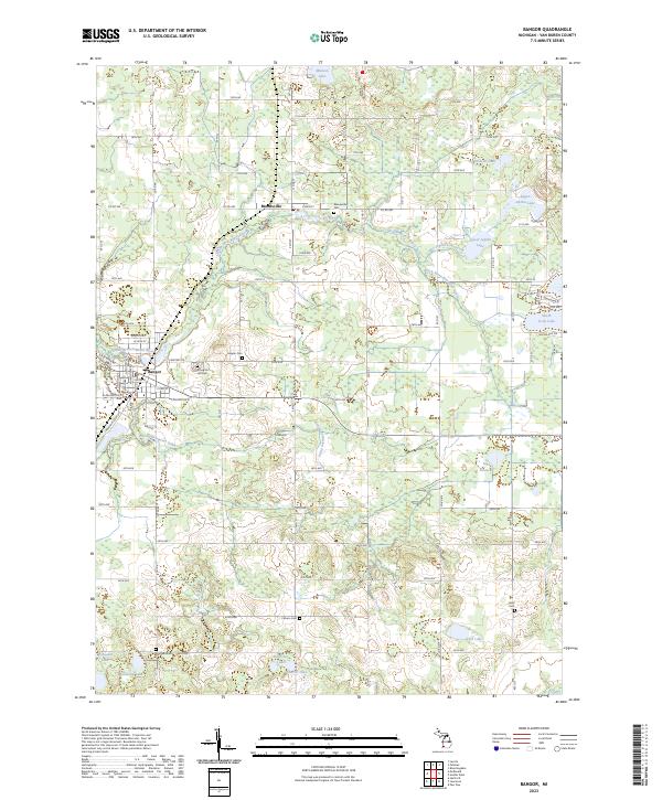 2023 Bangor2023 Print · USGSThe rural agricultural lands of Van Buren County are captured here in the early 2020s, centered on the communities of Bangor and Breedsville. Genealogists can trace numerous family burial sites across the township, including Arlington Hill Cem, Southard Cem, and Hoppin Cem.
 - 2023 Map of McDonald, 2023 Print
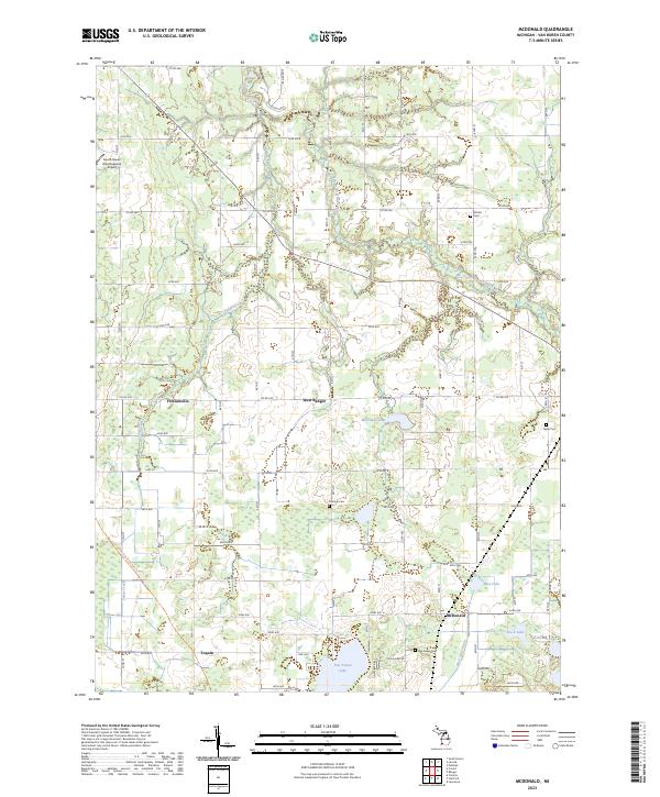 2023 McDonald2023 Print · USGSVan Buren County in the early 2020s remains a region of quiet lakeside settlements and ancestral burial grounds. Researchers can trace the layout of small communities like West Bangor and McDonald or locate historic sites such as Van Auken Cem and Monks Cem.
End of results
Showing maps 1-17 of 17
Top cities near Bangor
- South Haven historical maps
- Lee historical maps
- Paw Paw historical maps
- Covert historical maps
- Keeler historical maps
- Hartford historical maps
See more
Frequently asked questions
- What are the different types of historical maps available for Bangor?
- What is the oldest map of Bangor?
- Where can I purchase historical maps of Bangor for my home or office?
- Where can I download high-res historical maps of Bangor?
- Are there historical topographic maps available for Bangor?
- Is there historical aerial imagery available for Bangor?
- Where are historical maps of Bangor sourced from?