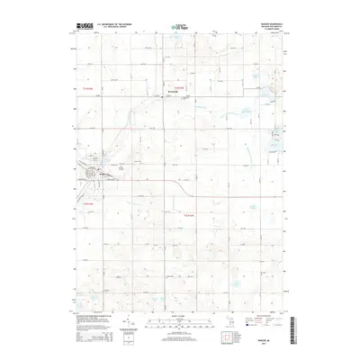
2014 Map of Bangor
USGS Topo · Published 2014About this map
Bangor and Breedsville serve as the primary population centers in this portion of Van Buren County, linked by the winding course of the S Br Black River. The landscape is defined by a dense network of water management features, including the Black River Extension Drain, Nelson Extension Drain, and Lower Jeptha Lake Drain, reflecting the area's history of land reclamation and agriculture.
Find a feature on this map
65 named features on this map. Tap any name to fly to it.
Don’t see what you’re looking for? This feature index may not catch every label — zoom into the map to look around manually.
Map Details
Editions of this 2014 Bangor Map
This is the sole edition of this map. No revisions or reprints were ever made.
Other maps of this area

1927 · Hartford
USGS Topo · 1:62,500

1927 · Bangor
USGS Topo · 1:62,500

1931 · Bangor
USGS Topo · 1:62,500

1931 · Hartford
USGS Topo · 1:62,500

1943 · Bangor
USGS Topo · 1:62,500

1944 · Marcellus
USGS Topo · 1:62,500

1946 · Marcellus
USGS Topo · 1:62,500

1946 · Gobles
USGS Topo · 1:62,500

1948 · Gobles
USGS Topo · 1:62,500

1949 · Gobles
USGS Topo · 1:62,500