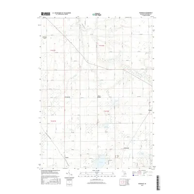
2017 Map of McDonald
USGS Topo · Published 2017About this map
Van Auken Lake and its surrounding wetlands anchor the southern portion of this Van Buren County landscape, where small agricultural settlements and family cemeteries define the rural character. This survey highlights several established locales including West Bangor, Friendsville, Toquin, and the small community of McDonald. The topography is marked by a network of drainage features like the S Br Black River and Cedar Cr, which feed into numerous local basins such as School Section Lake and Merriman Lake.
Find a feature on this map
64 named features on this map. Tap any name to fly to it.
Don’t see what you’re looking for? This feature index may not catch every label — zoom into the map to look around manually.
Map Details
Editions of this 2017 McDonald Map
This is the sole edition of this map. No revisions or reprints were ever made.
Other maps of this area

1927 · Hartford
USGS Topo · 1:62,500

1927 · Bangor
USGS Topo · 1:62,500

1927 · Benton Harbor
USGS Topo · 1:62,500

1927 · South Haven
USGS Topo · 1:62,500

1930 · South Haven
USGS Topo · 1:62,500

1930 · Benton Harbor
USGS Topo · 1:62,500

1931 · Bangor
USGS Topo · 1:62,500

1931 · Hartford
USGS Topo · 1:62,500

1943 · South Haven
USGS Topo · 1:62,500

1943 · Bangor
USGS Topo · 1:62,500