1970s Maps of Aitkin County, Minnesota
Explore 37 historic maps of Aitkin County from the 1970s. These maps offer a rare glimpse into what life looked like during the 1970s — showing old roads, neighborhoods, homes, and landmarks that have changed or disappeared over time.
Whether you're researching your family's past, planning a metal detecting trip, or studying how Aitkin County's landscape evolved across the 1970s, these high-resolution maps are a powerful tool for exploring the history of this region.
- Focus on a specific era: All maps on this page are from the 1970s, giving you a focused view of this time period.
- See what’s changed: Compare century-old streets, trails, and buildings to today's modern landscape using overlays and satellite layers.
- Research with precision: Use these maps for genealogy, historical research, land use analysis, or educational projects.
- View, download, or print: Maps are fully viewable online in high resolution, and can be downloaded or printed for your own records.
Start exploring Aitkin County's history through authentic maps from the 1970s. This is your window into the past.
Aitkin County, MN maps
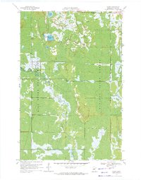
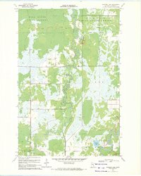
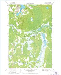
(37)- 1970 Map of Kimberly, 1972 Print
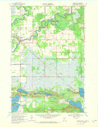
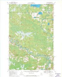
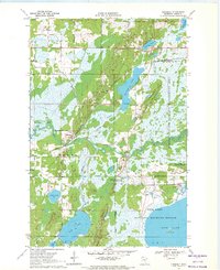 1970 Kimberly1972 Print · USGSAitkin County’s river-fed lowlands are captured here during the 1970s, showing a landscape defined by conservation and rail transport. Researchers can trace the local community through the Lansford Cem, Saron Cem, and the settlement of Kimberly.2 unique versions available
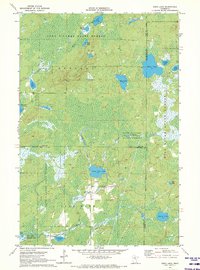
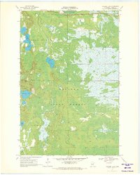
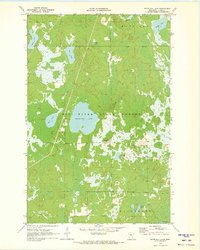
 - 1970 Map of Mc Gregor, 1972 Print
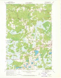
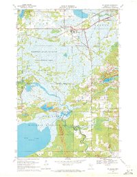 1970 Mc Gregor1972 Print · USGSAitkin County in the early 1970s is a landscape of conservation and rail-side settlements centered on Mc Gregor. Researchers can locate family heritage sites like Union Cem or trace the Old Railroad Grade through the Rice Lake National Wildlife Refuge.
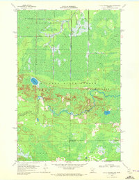
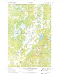
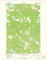
 - 1970 Map of Tamarack, 1972 Print
 1970 Tamarack1972 Print · USGSThe Northwoods of Aitkin County are seen here in the early 1970s, defined by the Burlington Northern line and sprawling wetlands. Genealogists and local historians can locate Fairview Cem and the early footprints of Tamarack and Grayling.
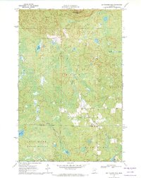
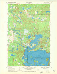
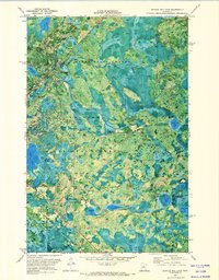
 - 1970 Map of Split Hand Lake, 1972 Print
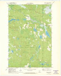
 1970 Split Hand Lake1972 Print · USGSItasca County’s lake-dotted wilderness is captured here in the early seventies, showing a landscape defined by state forests and the winding Mississippi River. Outdoorsmen and researchers can trace the old Winter Trail or locate features like the Gaging Station and Split Hand Lake.2 unique versions available
 - 1970 Map of Rabey, 1972 Print
 1970 Rabey1972 Print · USGSAitkin County’s northern forests and marshlands are documented here in the early 1970s. Local researchers can trace the remnants of the Old Railroad Grade and the seasonal Winter Trail near the small settlement of Rabey.
 - 1970 Map of Edna Lake, 1972 Print
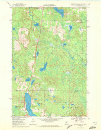
 1970 Edna Lake1972 Print · USGSThe wilderness at the junction of Cass, Aitkin, and Crow Wing counties is captured here in the early seventies. Genealogists and outdoorsmen can trace the water systems of Little Pine Lake and Edna Lake or locate the remote outpost of Mae.2 unique versions available
 - 1970 Map of Little Prairie Lake, 1972 Print
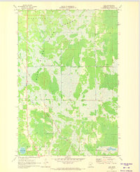
 1970 Little Prairie Lake1972 Print · USGSThe northern Minnesota wilderness at the junction of three counties is captured here in the early seventies. Outdoorsmen and historians can trace the paths of the Snowmobile Trail and Winter Trail near Little Prairie Lake and the Savanna River.
 - 1970 Map of Big Thunder Peak, 1972 Print
 1970 Big Thunder Peak1972 Print · USGSItasca and Aitkin counties are captured here in the early seventies, showing a landscape defined by the Sugar Hills and forest lowlands. Researchers can trace seasonal routes like the Winter Trail and locate landmarks such as Holy Water Lake or the Ski Lift at Big Thunder Peak.
 - 1970 Map of Palisade, 1972 Print
 1970 Palisade1972 Print · USGSAitkin County in the early seventies is defined by the winding Mississippi River and the small-town hub of Palisade. Researchers can trace the diagonal path of the Soo Line railroad or locate local landmarks like the Townhall and the chain of lakes including Wilkins Lake and Jenkins Lake.2 unique versions available
 - 1970 Map of Shovel Lake, 1972 Print
 1970 Shovel Lake1972 Print · USGSNorthwestern Minnesota’s lake-and-forest country is mapped here in the early seventies, spanning the borders of Cass and Aitkin Counties. Local historians and outdoorsmen can trace the Soo Line rail corridor, the Lakeview Cem, and an extensive early Snowmobile Trail.2 unique versions available
 - 1970 Map of Mountain Ash Lake, 1972 Print
 1970 Mountain Ash Lake1972 Print · USGSNorthern Minnesota's lake country is captured in detail during the early 1970s, showcasing the transition from Itasca to Aitkin County. Trace seasonal access via the Winter Trail or locate historical points of interest like Spring Roadside Park and Hill Lake.2 unique versions available
 - 1970 Map of Swan River, 1972 Print
 1970 Swan River1972 Print · USGSSwan River and its surrounding wetlands are captured here in the early seventies at the crossroads of the Burlington Northern rail lines. Local historians can trace the community infrastructure at the Townhall and Sago Cem or locate the numerous Gravel Pits that supported the regional economy.
 - 1970 Map of Sanders Lake, 1972 Print
 1970 Sanders Lake1972 Print · USGSAitkin County’s northern forests and winding river valleys are captured here just as modern conservation efforts were maturing in the early seventies. Genealogists and outdoorsmen can trace the rural boundaries of Libby and Logan or the path of the Willow River toward Sanders Lake.
 - 1970 Map of Vanduse Lake, 1972 Print
 1970 Vanduse Lake1972 Print · USGSAitkin County’s north woods are captured here in the early seventies, dominated by the sprawling wetlands of the Savanna State Forest. Outdoor historians and researchers can locate the Ball Bluff Lookout Tower and trace the Winter Trail through the lake-dotted terrain.
 - 1970 Map of Balsam, 1972 Print
 1970 Balsam1972 Print · USGSAitkin County’s glacial divide is documented here in the early 1970s, showing the vast transition between the Savannah and Tamarack watersheds. Researchers can trace historic winter routes and locate landmarks like the Chapel in the Pines and the remote Balsam settlement.2 unique versions available
 - 1970 Map of Ball Bluff, 1972 Print
 1970 Ball Bluff1972 Print · USGSAitkin County in the early seventies shows a landscape defined by the winding Mississippi River and deep northern woods. Trace the river's path between Jacobson and Ball Bluff or explore the boundaries of the Savanna State Forest.2 unique versions available
 - 1970 Map of Libby, 1972 Print
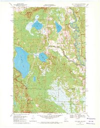
 1970 Libby1972 Print · USGSAitkin County in the early seventies was a wilderness of shifting river bends and expansive lake systems. Genealogists and researchers can trace the settlement at Libby, explore the islands of Big Sandy Lake, and locate the historic Winter Trail.2 unique versions available
 - 1970 Map of Jacobson, 1972 Print
 1970 Jacobson1972 Print · USGSThe confluence of the Mississippi River and Swan River defines this northern wilderness during the early seventies. Local historians can trace the Old Railroad Grade and explore early sites near Jacobson and Shallow Lake.
 - 1970 Map of Wright, 1972 Print
 1970 Wright1972 Print · USGSCarlton County and Aitkin County meet in the early 1970s amid a dense network of timberlands and northern lakes. Researchers can trace family history through landmarks like Lakeside Cem and Wright, or follow the Burlington Northern corridor through the Savanna State Forest.2 unique versions available
 - 1970 Map of Minnewawa, 1972 Print
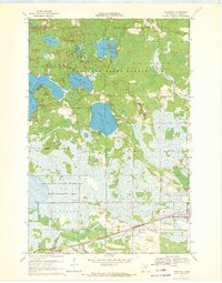
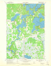 1970 Minnewawa1972 Print · USGSAitkin County’s lake country is captured here during the 1970s, showing a landscape defined by the intricate shorelines of Big Sandy Lake and Lake Minnewawa. Researchers can locate local landmarks like Grace Ch, the Lakeview Cem, and the old Townhall.2 unique versions available
 - 1970 Map of Bain, 1973 Print
 1970 Bain1973 Print · USGSAitkin County’s forested wetlands are captured here in the early seventies, centered on the small settlement of Bain. Researchers can trace local landmarks like Hebron Cem, explore the reaches of the Hill River, and locate old Sandpit sites.
 - 1970 Map of Hill City, 1973 Print
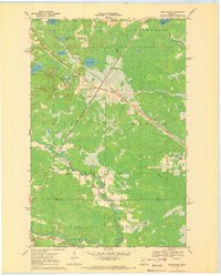
 1970 Hill City1973 Print · USGSNorthern Minnesota lake country comes alive in this 1970s record of Hill City and the surrounding timberlands. Trace the Old RR Grade and Winter Grades near Quadna Mountain or find family roots at Hill Lake Cem and Macville Cem.
 - 1970 Map of White Elk Lake, 1973 Print
 1970 White Elk Lake1973 Print · USGSAitkin County’s forested wetlands are frozen in time during the early seventies, dominated by the Hill River State Forest. Researchers can locate the White Elk Lookout Tower and trace the shores of White Elk Lake and Kingsleys Pothole.
 - 1971 Map of Swatara, 1973 Print
 1971 Swatara1973 Print · USGSAitkin County’s north woods are captured here in the early seventies, centered on the village of Swatara and the Hill Lake State Forest. Researchers can trace the path of the Soo Line through the wetlands or locate family-named landmarks like Kangas Lake and McKinney Lake.
 - 1971 Map of Shingle Mill Lake, 1974 Print
 1971 Shingle Mill Lake1974 Print · USGSNorthern Minnesota's dense lake country is captured here in the early seventies, showing the meeting point of three major forests. Genealogists and researchers can trace the diagonal route of the Soo Line and find quiet landmarks like Holy Water Lake and Finn Lake.
Showing maps 1-25 of 37
Top cities of Aitkin County
- Aitkin historical maps
- Hill City historical maps
- Glen historical maps
- McGregor historical maps
- Waukenabo historical maps
- Malmo historical maps
See more
Frequently asked questions
- What are the different types of historical maps available for Aitkin County?
- What is the oldest map of Aitkin County?
- Where can I purchase historical maps of Aitkin County for my home or office?
- Where can I download high-res historical maps of Aitkin County?
- Are there historical topographic maps available for Aitkin County?
- Is there historical aerial imagery available for Aitkin County?
- Where are historical maps of Aitkin County sourced from?