1960s Maps of Aitkin County, Minnesota
Explore 20 historic maps of Aitkin County from the 1960s. These maps offer a rare glimpse into what life looked like during the 1960s — showing old roads, neighborhoods, homes, and landmarks that have changed or disappeared over time.
Whether you're researching your family's past, planning a metal detecting trip, or studying how Aitkin County's landscape evolved across the 1960s, these high-resolution maps are a powerful tool for exploring the history of this region.
- Focus on a specific era: All maps on this page are from the 1960s, giving you a focused view of this time period.
- See what’s changed: Compare century-old streets, trails, and buildings to today's modern landscape using overlays and satellite layers.
- Research with precision: Use these maps for genealogy, historical research, land use analysis, or educational projects.
- View, download, or print: Maps are fully viewable online in high resolution, and can be downloaded or printed for your own records.
Start exploring Aitkin County's history through authentic maps from the 1960s. This is your window into the past.
Aitkin County, MN maps
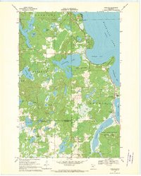
(20)- 1964 Map of Hibbing
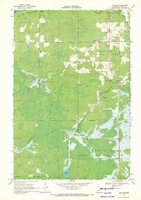
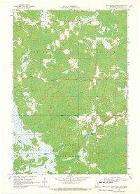
 1964 Hibbing1964 Print · USGSNorthern Minnesota’s iron-rich corridor is captured here during a peak era of mid-century industrial activity. Researchers can trace the rail-to-mine connections through Mesabi Range towns like Hibbing and Virginia or locate lakefront settlements near Pokegama Lake.
 - 1968 Map of Onamia NW, 1970 Print
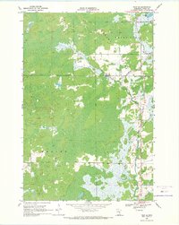
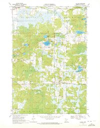
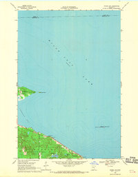 1968 Onamia NW1970 Print · USGSThe southwestern reaches of Mille Lacs Lake are captured here in the late sixties, showcasing a landscape defined by conservation and recreation. Researchers can trace the early boundaries of Mille Lacs Kathio State Park and locate offshore landmarks like Spirit Island.2 unique versions available
 - 1968 Map of Kroschel NW, 1970 Print
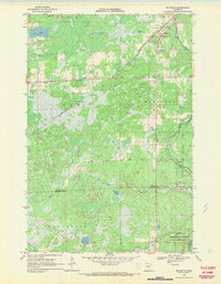
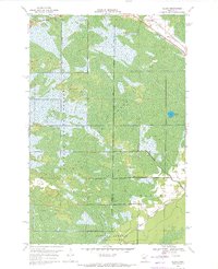
 1968 Kroschel NW1970 Print · USGSThe Snake River corridor at the Aitkin and Kanabec county line is captured here in the late sixties, showing a landscape transitioning into protected state forests. Researchers can trace the bounds of Solana State Forest and locate fishing spots at Lake Five and Long Lake.2 unique versions available
 - 1968 Map of Wahkon North, 1970 Print
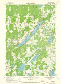
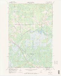
 1968 Wahkon North1970 Print · USGSThe southern shores of Mille Lacs Lake are captured here in the late sixties, showing the transition between conservation lands and local settlements. Researchers can trace the layout of Wahkon, the trails of Father Hennepin State Park, and landmarks like Hennepin Island.2 unique versions available
 - 1968 Map of Isle, 1970 Print
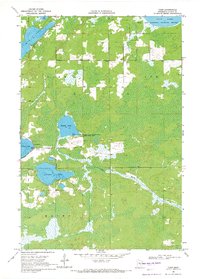
 1968 Isle1970 Print · USGSThe southeast corner of Mille Lacs Lake thrived in the late sixties as a crossroads of rail travel and lakeside recreation. Genealogists and local historians can trace the foundations of Isle, find remote country stops like Opstead, and locate family burial sites at Holden Cem and Redtop Cem.
 - 1968 Map of Giese, 1970 Print
 1968 Giese1970 Print · USGSThe tri-county border of Aitkin, Pine, and Kanabec counties in the late sixties reveals a landscape of deep woods and interconnected glacial lakes. Genealogists and local historians can trace the rural infrastructure of Giese, including the Lakeview Sch, Township Cem, and the winding Pine River.
 - 1968 Map of Vineland, 1970 Print
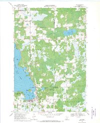
 1968 Vineland1970 Print · USGSThe southwestern shores of Mille Lacs Lake are captured here in the late sixties, centered on the settlement of Vineland. Researchers can trace local history through the Alliance Mission, Lakewood Cem, and the boundaries of Mille Lacs Kathio State Park.
 - 1968 Map of Mc Grath, 1970 Print
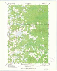
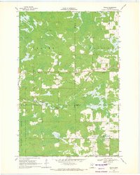
 1968 Mc Grath1970 Print · USGSAitkin and Kanabec County in the late 1960s reveal a quiet landscape of wetlands and river bends centered on the SOO LINE railroad. Local researchers can trace family landmarks at Grace Cem or explore the early footprints of McGrath and Bergman.2 unique versions available
 - 1969 Map of Solana, 1971 Print
 1969 Solana1971 Print · USGSAitkin County forestry and rail transport are the focus here in the late sixties, where active timber management meets early industrial remnants. Local historians can trace the Soo Line and the Old Railroad Grade near Solana, or locate the White Pine Lookout Tower.2 unique versions available
 - 1969 Map of Arthyde, 1971 Print
 1969 Arthyde1971 Print · USGSNear the border of Aitkin and Pine Counties in the late sixties, this survey shows a landscape of deep forests and winding wetlands. Researchers can trace the Soo Line railroad near Arthyde, locate the Cem by Rhine Lake, and follow the Truck Trail into the heart of the Solana State Forest.
 - 1969 Map of Thor NE, 1971 Print
 1969 Thor NE1971 Print · USGSAitkin County’s northern woods and wetlands are captured here in the late sixties as conservation lands began to shape the region. Genealogists and local historians can trace landmarks like St Johns Ch, the Townhall, and old Gravel Pits along the Rice River.2 unique versions available
 - 1969 Map of Thor SE, 1971 Print
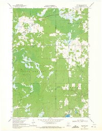
 1969 Thor SE1971 Print · USGSAitkin County’s northern woods and wetlands are captured in the late sixties, showcasing the intersection of the Soo Line and the Snake River. Researchers can locate Dads Corner, the Pliny Cem, and the Calvary Ch amidst the Solvana State Forest.
 - 1969 Map of Thor SW, 1971 Print
 1969 Thor SW1971 Print · USGSAitkin County in the late sixties reveals a landscape of sprawling wetlands and small township centers. Genealogists can trace local history through sites like Malmo Cem, Ostlund Cem, and the rural Townhall located near Borden Creek.
 - 1969 Map of Thor, 1971 Print
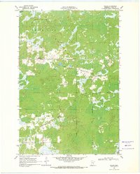
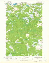
 1969 Thor1971 Print · USGSAitkin County’s wetland landscape is captured here in the late sixties, showing the small settlement of Thor and its surrounding townships. Researchers can trace local landmarks like Zion Ch and the recreation facilities at Clear Lake and Sugar Lake.2 unique versions available
 - 1969 Map of Split Rock Lake, 1971 Print
 1969 Split Rock Lake1971 Print · USGSAitkin County in the late sixties reveals a landscape of dense state forests and winding river systems. Genealogists and local researchers can locate the Rice River Cem and trace the original paths of the Split Rock River and Rice River.
 - 1969 Map of Wawina, 1971 Print
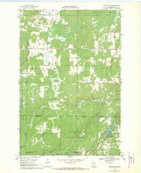
 1969 Wawina1971 Print · USGSIn the late 1960s, the boggy crossroads of Wawina sat at the junction of three counties and the Burlington Northern railroad. Genealogists can locate family landmarks like the Cedar Valley Cem, Apostolic Ch, and the local Town Hall.2 unique versions available
 - 1969 Map of Ronald, 1971 Print
 1969 Ronald1971 Print · USGSThe rural Minnesota landscape at the meeting point of Aitkin, Carlton, and Pine counties was dominated by timber and wetlands in the late sixties. Researchers can trace the small settlement at Ronald, find the Beaver Ch, and follow the winding Split Rock River through the Solina State Forest.2 unique versions available
 - 1969 Map of Automba, 1972 Print
 1969 Automba1972 Print · USGSThe Aitkin County backcountry in the late sixties is a mosaic of dense woods and winding waterways. Trace the Soo Line rail corridor through the settlement of Automba or explore the wetlands of the Salo Marsh State Wildlife Management Area.
 - 1969 Map of Lawler, 1972 Print
 1969 Lawler1972 Print · USGSAitkin County in the late sixties reveals a landscape of northern timberlands and rail corridors. Researchers can locate community anchors like the Sheriff Lake Tabernacle and Salo Cem, or trace the winding Wakefield Brook near the village of Lawler.2 unique versions available
 - 1969 Map of Island, 1972 Print
 1969 Island1972 Print · USGSThe northern wetlands of Aitkin and St. Louis counties are captured here in the late sixties, showing a landscape defined by timber and rail. Genealogists and researchers can trace the Burlington Northern line through Island or locate the remote Hartley Spur and Winter Trail.2 unique versions available
End of results
Showing maps 1-20 of 20
Top cities of Aitkin County
- Aitkin historical maps
- Hill City historical maps
- Glen historical maps
- McGregor historical maps
- Waukenabo historical maps
- Malmo historical maps
See more
Frequently asked questions
- What are the different types of historical maps available for Aitkin County?
- What is the oldest map of Aitkin County?
- Where can I purchase historical maps of Aitkin County for my home or office?
- Where can I download high-res historical maps of Aitkin County?
- Are there historical topographic maps available for Aitkin County?
- Is there historical aerial imagery available for Aitkin County?
- Where are historical maps of Aitkin County sourced from?