2000s (21st Century) Maps of Aitkin County, Minnesota
Explore 280 historic maps of Aitkin County from the 2000s (21st Century). These maps offer a rare glimpse into what life looked like during the 2000s — showing old roads, neighborhoods, homes, and landmarks that have changed or disappeared over time.
Whether you're researching your family's past, planning a metal detecting trip, or studying how Aitkin County's landscape evolved across the 2000s, these high-resolution maps are a powerful tool for exploring the history of this region.
- Focus on a specific era: All maps on this page are from the 2000s, giving you a focused view of this time period.
- See what’s changed: Compare century-old streets, trails, and buildings to today's modern landscape using overlays and satellite layers.
- Research with precision: Use these maps for genealogy, historical research, land use analysis, or educational projects.
- View, download, or print: Maps are fully viewable online in high resolution, and can be downloaded or printed for your own records.
Start exploring Aitkin County's history through authentic maps from the 2000s. This is your window into the past.
Aitkin County, MN maps
(280)- 2010 Map of Spirit Lake, 2010 Print
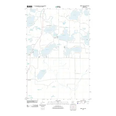 2010 Spirit Lake2010 Print · USGSThe lake country around Bennettville is shown here in the early twenty-first century as a haven of interconnected waters and woodland hills. Genealogists and local historians can trace family sites near Diamond Lake Cemetery or landmarks like Fire Tower Hill and the Hanging Kettle Lake Dam.
 - 2010 Map of Jacobson, 2010 Print
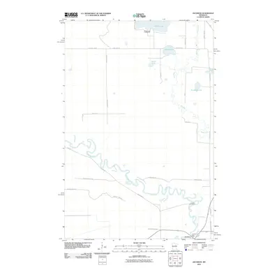 2010 Jacobson2010 Print · USGSItasca County, Minnesota, is captured here in the early twenty-first century as a landscape of winding rivers and dense woodland. Researchers can trace the junction of the Mississippi River and Swan River near Jacobson, or locate sites within Savanna State Frst.
 - 2010 Map of Lawler, 2010 Print
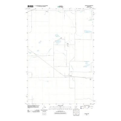 2010 Lawler2010 Print · USGSLawler and the surrounding Aitkin County wetlands are captured here at the start of the 2010s, showing a landscape defined by pioneer-era cemeteries and recreation trails. Researchers can trace family roots at Finnish Apostolic Cemetery or locate the Lawler Lookout Tower near Dutch Lake.
 - 2010 Map of Iron Hub, 2010 Print
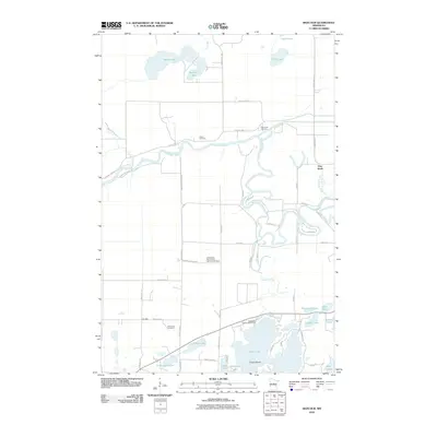 2010 Iron Hub2010 Print · USGSAitkin County at the turn of the decade is captured here as a landscape of interconnected lakes and river bends. Researchers can locate family landmarks like Carrol Cemetery and Immanuel Cemetery or trace the winding course of the Mississippi River near Pine Knoll.
 - 2010 Map of Swatara, 2010 Print
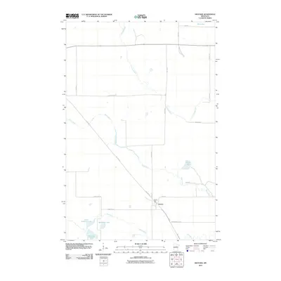 2010 Swatara2010 Print · USGSSwatara and its surrounding northern Minnesota timberlands are captured here in the early twenty-first century. Genealogists and local historians can trace the area's development near the Swatara Post Office and the unique path of the Sod Line Trl.
 - 2010 Map of Isle, 2010 Print
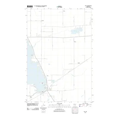 2010 Isle2010 Print · USGSThe southeastern shores of Mille Lacs Lake are captured here in the early 21st century. Genealogists and historians can trace the town of Isle, the old railroad grade now known as the Soo Line Trl, and local burials at Holden Cemetery or Redtop Cemetery.
 - 2010 Map of Little Prairie Lake, 2010 Print
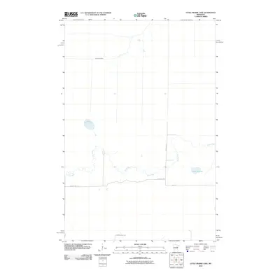 2010 Little Prairie Lake2010 Print · USGSBeseman Township at the start of the decade is defined by its deep woods and winding waterways. Researchers can trace the boundaries of the Savanna State Frst and the shorelines of Little Prairie Lake and Roosevelt Lake.
 - 2010 Map of Solana, 2010 Print
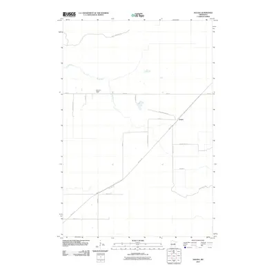 2010 Solana2010 Print · USGSAitkin County’s forested interior is captured here as the millennium turned, centered on the community of Solana. Genealogists and historians can trace the paths of the Soo Line Trl and locate the White Pine Lookout Tower near the winding Snake River.
 - 2010 Map of Swan River, 2010 Print
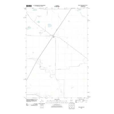 2010 Swan River2010 Print · USGSItasca County's watery landscape is documented here in the early twenty-first century, showing the settlement of Swan River and its rural surrounds. Genealogists and local historians can locate the Sago Cemetery and the Swan River Post Office amidst numerous lakes like Culp Lake and Spot Lake.
 - 2010 Map of Split Hand Lake, 2010 Print
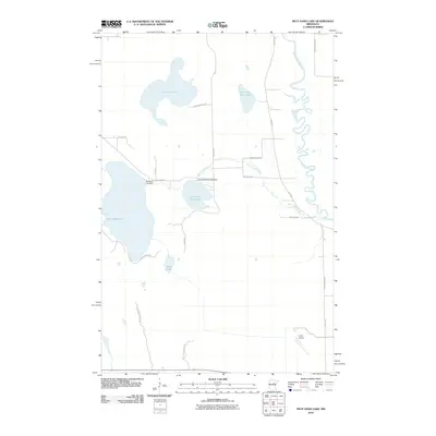 2010 Split Hand Lake2010 Print · USGSItasca County’s water-rich landscape is captured here in the early twenty-first century, showing the intricate connections between the Mississippi River and the northern lake system. Researchers can trace rural developments and water management via Splithand Lake Dam, Porter Airport, and Cow Horn Lake.
 - 2010 Map of Balsam, 2010 Print
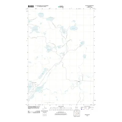 2010 Balsam2010 Print · USGSBalsam and the surrounding lake country of Aitkin County are mapped here in the years preceding recent park developments. Genealogists and outdoor historians can trace the waterways near Balsam, the infrastructure of the Hammond Pond Dam, and trails through the Savanna State Frst.
 - 2010 Map of Libby, 2010 Print
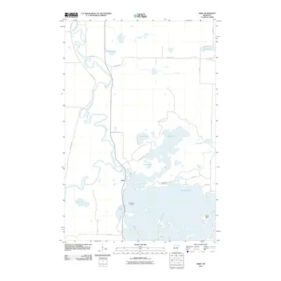 2010 Libby2010 Print · USGSThe riverine and lakeside character of Aitkin County is on full display here in the early 2000s. Researchers can locate the Tschibegamig Cemetery and trace the winding Mississippi River near the settlement of Libby.
 - 2010 Map of Ronald, 2010 Print
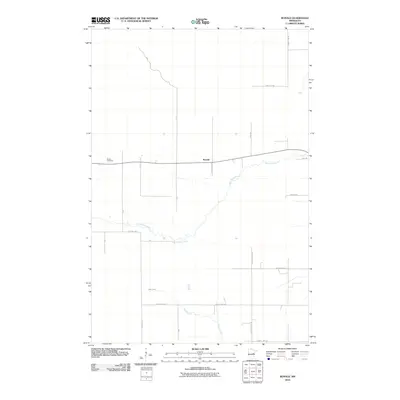 2010 Ronald2010 Print · USGSThis Aitkin County landscape reveals a quiet rural settlement pattern just after the turn of the millennium. Genealogists and local historians can locate Beaver Cemetery and trace the paths of Split Rock River and Wagon Wheel Rd.
 - 2010 Map of Thor, 2010 Print
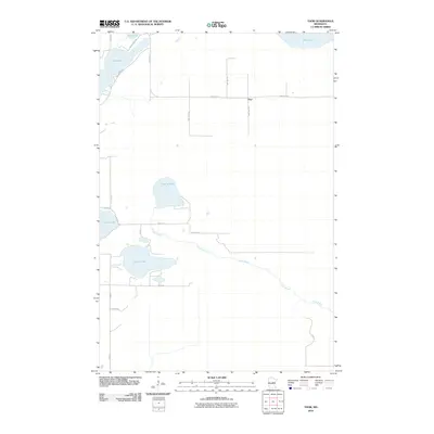 2010 Thor2010 Print · USGSThor and the surrounding Aitkin County wetlands appear here during the early 2000s, showing a landscape defined by its glacial lakes. You can trace rural homesteads and local routes like Church Rd near the shores of Sugar Lake and Long Lake.
 - 2010 Map of Tamarack, 2010 Print
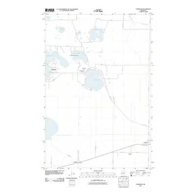 2010 Tamarack2010 Print · USGSAitkin County’s lake country is detailed here during the late 2000s, showcasing a landscape of interconnected waterways and small settlements. Trace local history through landmarks like the Kivi-Mokki Seaplane Base or the grounds of Round Lake Cemetery.
 - 2010 Map of Edna Lake, 2010 Print
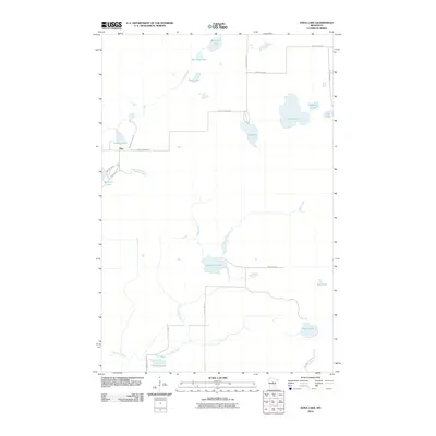 2010 Edna Lake2010 Print · USGSNorth of the Brainerd Lakes area in the early 21st century, this landscape is defined by the winding Moose River and the small settlement at Mae. Researchers can trace the network of timber and access roads like Pikus Forest Rd connecting Edna Lake, Little Pine Lake, and Starry Lake.
 - 2010 Map of Kroschel NW, 2010 Print
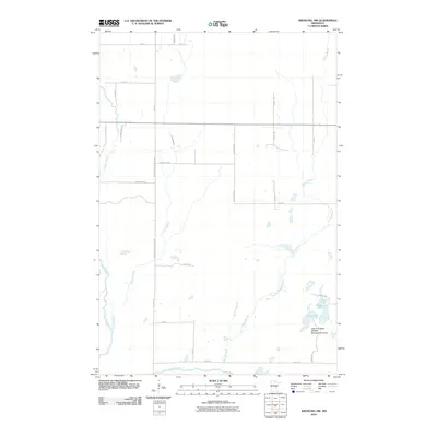 2010 Kroschel NW2010 Print · USGSKanabec County's rural northern reaches are defined here by the winding Snake River and its network of glacial brooks. Outdoor historians and researchers can trace the boundaries of the Lake Five State Wildlife Management Area and the secluded waters of Lake Five and Long Lake.
 - 2010 Map of Thor SW, 2010 Print
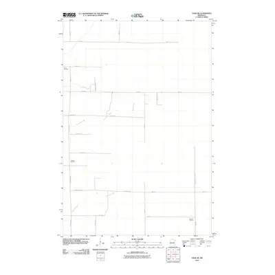 2010 Thor SW2010 Print · USGSAitkin County in the early 21st century reveals a landscape of dispersed farmsteads and rural cemeteries linked by a persistent grid of township roads. Family historians can trace local roots at Malmo Cemetery and Ostlund Cemetery or explore the drainage of Borden Creek.
 - 2010 Map of Waukenabo, 2010 Print
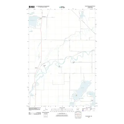 2010 Waukenabo2010 Print · USGSAitkin County’s water-rich landscape is documented here in the early twenty-first century as the Mississippi River meanders toward the south. Researchers can locate family sites near Waukenabo Cemetery, trace the Soo Line Trl, or explore lakeside points like Waldeck and Gun Point.
 - 2010 Map of Ross Lake, 2010 Print
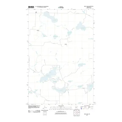 2010 Ross Lake2010 Print · USGSThe lake-strewn landscape of Crow Wing County is seen here in the early twenty-first century, anchored by the settlement of Little Pine. Local historians can trace shoreline developments and water control features like Birchdale Lake Dam and the winding Mud Brook.
 - 2010 Map of Aitkin, 2010 Print
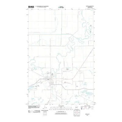 2010 Aitkin2010 Print · USGSIn the lakes country of central Minnesota during the early 21st century, Aitkin sits at the convergence of the Mississippi River and Ripple River. Researchers can trace local heritage through landmarks like the Aitkin County Fairgrounds and several burial sites including Evergreen Cemetery.
 - 2010 Map of Ball Bluff, 2010 Print
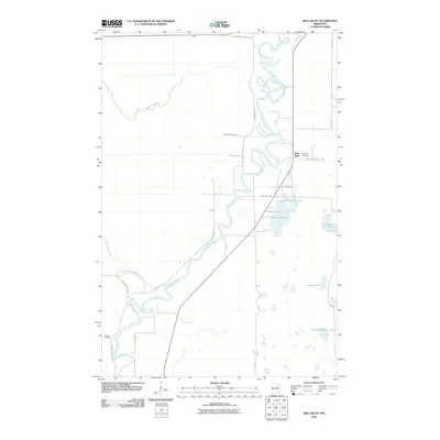 2010 Ball Bluff2010 Print · USGSAitkin County’s riverfront and forest lands are captured here in the early twenty-first century as the Mississippi River winds through the Savanna State Frst. Genealogists and local researchers can locate Ball Bluff Cemetery, Verdon Cemetery, and the settlement at Ball Bluff.
 - 2010 Map of Minnewawa, 2010 Print
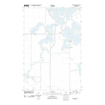 2010 Minnewawa2010 Print · USGSAitkin County’s lake country is captured here in the early twenty-first century, showing the intricate waterways surrounding Minnewawa. Researchers can locate lakeside landmarks like Shamrock Cemetery or trace the path of the old railroad along the Soo Line Trl.
 - 2010 Map of White Elk Lake, 2010 Print
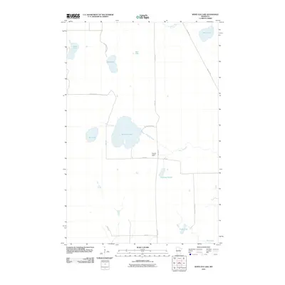 2010 White Elk Lake2010 Print · USGSAitkin County’s forested wetlands and glacial lakes are shown here in the early twenty-first century. Researchers can trace recreational and industrial corridors like the Soo Line Trl and find landmarks such as the White Elk Lookout Tower and Kingsleys Pothole.
 - 2010 Map of Esquagamah Lake, 2010 Print
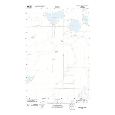 2010 Esquagamah Lake2010 Print · USGSAitkin County’s glaciated terrain is shown here in the early twenty-first century, featuring a complex network of wetlands and river management. Researchers can trace local landmarks like Riverside Cemetery and water control sites including the Rice Portage Lake Dam.
Showing maps 1-25 of 280
Top cities of Aitkin County
- Aitkin historical maps
- Hill City historical maps
- Glen historical maps
- McGregor historical maps
- Waukenabo historical maps
- Malmo historical maps
See more
Frequently asked questions
- What are the different types of historical maps available for Aitkin County?
- What is the oldest map of Aitkin County?
- Where can I purchase historical maps of Aitkin County for my home or office?
- Where can I download high-res historical maps of Aitkin County?
- Are there historical topographic maps available for Aitkin County?
- Is there historical aerial imagery available for Aitkin County?
- Where are historical maps of Aitkin County sourced from?