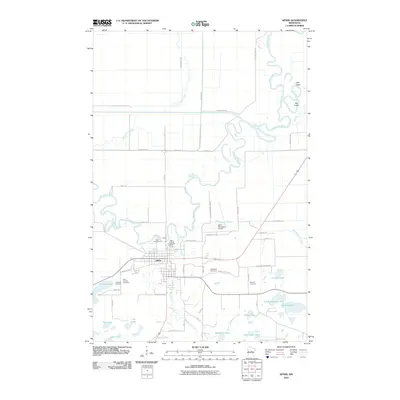
2010 Map of Aitkin
USGS Topo · Published 2010About this map
Aitkin serves as the focal point of this 2010 landscape, where the winding Mississippi River meets the smaller Ripple River. The town is characterized by its organized street grid and key community landmarks, including the Aitkin County Fairgrounds and the Aitkin Municipal Airport. The surrounding topography is dominated by a complex network of wetlands and small lakes, such as Nord Lake, Pickerel Lake, and Lake Three, reflecting the hydrologic character of the glacial plain.
Find a feature on this map
53 named features on this map. Tap any name to fly to it.
Don’t see what you’re looking for? This feature index may not catch every label — zoom into the map to look around manually.
Map Details
Editions of this 2010 Aitkin Map
This is the sole edition of this map. No revisions or reprints were ever made.
Other maps of this area

1912 · Deerwood
USGS Topo · 1:62,500

1913 · Cuyuna
USGS Topo · 1:62,500

1914 · Deerwood
USGS Topo · 1:62,500

1914 · Aitkin
USGS Topo · 1:62,500

1915 · Aitkin
USGS Topo · 1:62,500

1915 · Cuyuna
USGS Topo · 1:62,500

1916 · Wealthwood
USGS Topo · 1:62,500

1953 · Duluth
USGS Topo · 1:250,000

1958 · Duluth
USGS Topo · 1:250,000

1973 · Iron Hub
USGS Topo · 1:24,000