
1973 Map of Iron Hub
USGS Topo · Published 1975About this map
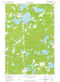
Mississippi River meanders through this landscape on the border of Crow Wing and Aitkin counties, defining a region where water management and resource extraction shaped the local economy. The presence of a Flood Diversion Channel north of the river suggests the historical necessity of controlling seasonal flows in this lake-heavy terrain. The settlement of Iron Hub and its nearby Townhall serve as the focal point for local history, supported by the Burlington Northern Line and the Soo Line Railroad which provided essential transport for the area's industries. Small landmarks like St Johns Ch and Immanuel Cem provide specific points of interest for genealogists, while the numerous gravel pits scattered across the quadrangle indicate the primary industrial activity of the early 1970s. Larger water bodies including Rabbit Lake and Farm Island Lake dominate the southern portion, framing the agricultural and residential pockets of the era.
Find a feature on this map
32 named features on this map. Tap any name to fly to it.
Don’t see what you’re looking for? This feature index may not catch every label — zoom into the map to look around manually.
Map Details
Editions of this 1973 Iron Hub Map
This is the sole edition of this map. No revisions or reprints were ever made.
Other maps of this area

1912 · Deerwood
USGS Topo · 1:62,500

1913 · Cuyuna
USGS Topo · 1:62,500

1914 · Deerwood
USGS Topo · 1:62,500

1914 · Aitkin
USGS Topo · 1:62,500

1915 · Aitkin
USGS Topo · 1:62,500

1915 · Cuyuna
USGS Topo · 1:62,500

1916 · Wealthwood
USGS Topo · 1:62,500

1953 · Duluth
USGS Topo · 1:250,000

1958 · Duluth
USGS Topo · 1:250,000
1973 · Emily
USGS Topo · 1:24,000