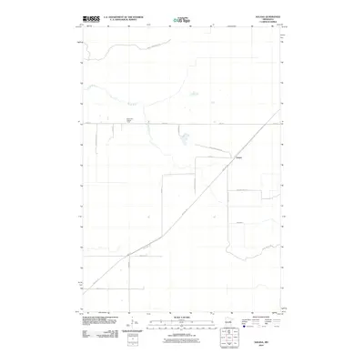
2010 Map of Solana
USGS Topo · Published 2010About this map
The settlement of Solana and the surrounding woodlands of the Solana State Frst define this Aitkin County landscape during the early 21st century. The geography is marked by a transition from traditional rail infrastructure to recreational utility, as seen in the prominent diagonal path of the Soo Line Trl cutting through the territory. This corridor, formerly part of the Minneapolis, St. Paul and Sault Ste. Marie Railroad, represents a significant historical artery for the region's timber and transport economy.
Find a feature on this map
16 named features on this map. Tap any name to fly to it.
Don’t see what you’re looking for? This feature index may not catch every label — zoom into the map to look around manually.
Map Details
Editions of this 2010 Solana Map
This is the sole edition of this map. No revisions or reprints were ever made.
Other maps of this area

1953 · Duluth
USGS Topo · 1:250,000

1958 · Duluth
USGS Topo · 1:250,000

1968 · Kroschel NW
USGS Topo · 1:24,000

1968 · Giese
USGS Topo · 1:24,000

1968 · Mc Grath
USGS Topo · 1:24,000

1969 · Solana
USGS Topo · 1:24,000

1969 · Arthyde
USGS Topo · 1:24,000

1969 · Thor NE
USGS Topo · 1:24,000

1969 · Thor SE
USGS Topo · 1:24,000

1969 · Split Rock Lake
USGS Topo · 1:24,000