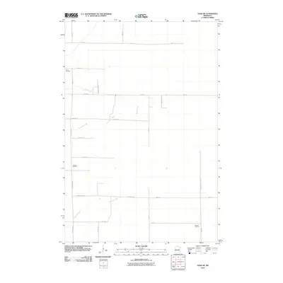
2010 Map of Thor SW
USGS Topo · Published 2010About this map
Malmo Cemetery and Lakeside Cemetery stand as significant genealogical landmarks in this Aitkin County landscape, where the rural road network follows a strict township and range grid. This area of Minnesota is defined by slow-moving drainage systems, with Borden Creek and Peterson Creek meandering through the low-lying terrain. The naming of School House Ln suggests the former sites of rural education centers that once served this farming community. Other local identifiers like Logger Hill Road T242 point toward the historical importance of the timber industry in the region. To the southeast, Ostlund Cemetery serves as another focal point for researchers tracing family histories in this part of the Thor SW quadrangle, which remains largely agricultural and forested into the early 21st century.
Find a feature on this map
26 named features on this map. Tap any name to fly to it.
Don’t see what you’re looking for? This feature index may not catch every label — zoom into the map to look around manually.
Map Details
Editions of this 2010 Thor SW Map
This is the sole edition of this map. No revisions or reprints were ever made.
Other maps of this area

1916 · Wealthwood
USGS Topo · 1:62,500

1953 · Duluth
USGS Topo · 1:250,000

1958 · Duluth
USGS Topo · 1:250,000

1968 · Wahkon North
USGS Topo · 1:24,000

1968 · Isle
USGS Topo · 1:24,000

1968 · Mc Grath
USGS Topo · 1:24,000

1969 · Thor NE
USGS Topo · 1:24,000

1969 · Thor SE
USGS Topo · 1:24,000

1969 · Thor SW
USGS Topo · 1:24,000

1969 · Thor
USGS Topo · 1:24,000