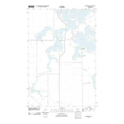
2010 Map of Minnewawa
USGS Topo · Published 2010About this map
Big Sandy Lake and the connected waters of the Sandy River dominate this portion of Aitkin County, where the landscape is defined by a dense network of glacial lakes and wetlands. The settlement of Minnewawa sits on the eastern shore of its namesake Lake Minnewawa, positioned near smaller basins like Dollar Lake and Mud Lake. The presence of the Soo Line Trl in the southwest corner indicates the corridor of a former railroad, now repurposed for recreation. Local history is anchored by the Shamrock Cemetery and Lakeview Cemetery, while the southeastern reach of the map is dedicated to conservation within the Grayling Wildlife Management area. This 2010 survey illustrates a region where water management and public access, such as the DNR Public Access on Minnewawa Creek, are central to the local geography.
Find a feature on this map
41 named features on this map. Tap any name to fly to it.
Don’t see what you’re looking for? This feature index may not catch every label — zoom into the map to look around manually.
Map Details
Editions of this 2010 Minnewawa Map
This is the sole edition of this map. No revisions or reprints were ever made.
Other maps of this area

1953 · Duluth
USGS Topo · 1:250,000

1958 · Duluth
USGS Topo · 1:250,000

1969 · Lawler
USGS Topo · 1:24,000

1970 · Kimberly
USGS Topo · 1:24,000

1970 · Mc Gregor
USGS Topo · 1:24,000

1970 · Tamarack
USGS Topo · 1:24,000

1970 · Palisade
USGS Topo · 1:24,000

1970 · Sanders Lake
USGS Topo · 1:24,000

1970 · Balsam
USGS Topo · 1:24,000

1970 · Libby
USGS Topo · 1:24,000