
1970 Map of Sanders Lake
USGS Topo · Published 1972About this map
The winding Willow River dominates the central landscape of this Aitkin County survey, showcasing the intricate riparian hydrology of northern Minnesota in the early 1970s. This river system threads through the dense wetlands and timberlands of the Hill River State Forest and the Savanna State Forest, eventually converging toward the mighty Mississippi River in the southeastern corner. The map documents the rural boundaries of Libby, Logan, and Workman, illustrating a region defined more by its natural waterways and forest preserves than by dense settlement. Collectors and local historians can trace the precise contours of Sanders Lake and the network of forest roads that provided access to these remote northern reaches during a period of active conservation management.
Find a feature on this map
8 named features on this map. Tap any name to fly to it.
Don’t see what you’re looking for? This feature index may not catch every label — zoom into the map to look around manually.
Map Details
Editions of this 1970 Sanders Lake Map
This is the sole edition of this map. No revisions or reprints were ever made.
Other maps of this area

1914 · Aitkin
USGS Topo · 1:62,500

1915 · Aitkin
USGS Topo · 1:62,500

1953 · Duluth
USGS Topo · 1:250,000

1958 · Duluth
USGS Topo · 1:250,000

1970 · Rabey
USGS Topo · 1:24,000

1970 · Palisade
USGS Topo · 1:24,000
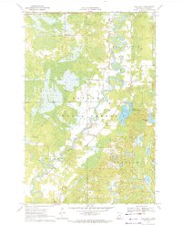
1970 · Ball Bluff
USGS Topo · 1:24,000

1970 · Libby
USGS Topo · 1:24,000
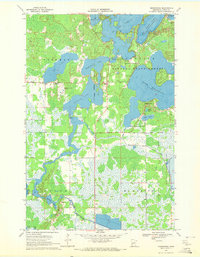
1970 · Minnewawa
USGS Topo · 1:24,000

1970 · Bain
USGS Topo · 1:24,000