Old Maps of Wealthwood, Minnesota for Genealogy
Trace your family roots with 10 historic maps of Wealthwood. These high-res maps reveal old neighborhoods, homesites, landmarks, and streets — helping you uncover where your ancestors lived and how the area evolved over time.
- Explore historic neighborhoods: Identify where your relatives may have lived in the 1800s or 1900s.
- Compare maps over time: Trace the changes in streets, buildings, and landmarks for multi-generational research.
- Perfect for genealogy & ancestry research: Used by family historians and researchers to map out lineage and migration.
These maps are an incredible resource for exploring your personal connection to Wealthwood's past.
Wealthwood, MN maps
(10)- 1916 Map of Wealthwood
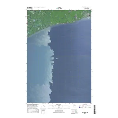
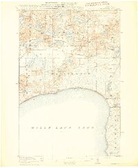 1916 Wealthwood1916 Print · USGSThe north shore of Mille Lacs Lake is captured in the mid-1910s during a period of rural schoolhouse expansion and early shoreline settlement. Genealogists can locate family landmarks like Carlson School, the Town Hall, and pioneer hubs at Wealthwood or Malmo.4 unique versions available
 - 1953 Map of Duluth, 1964 Print
 1953 Duluth1964 Print · USGSNortheastern Minnesota and northwestern Wisconsin are shown here during a period of industrial maturity and expanding conservation. Genealogists and historians can trace rail-connected towns like McGrath and Wahkon, or locate heritage sites within the Fond du Lac Indian Reservation.2 unique versions available
 - 1958 Map of Duluth
 1958 Duluth1958 Print · USGSNortheastern Minnesota and the Wisconsin borderlands are shown in detail during the late 1950s, centered on the bustling rail yards and ports of Duluth. You can trace the historic routes of the Soo Line and Duluth Missabe & Iron Range through small towns like McGrath, Bruno, and Wrenshall.
 - 1973 Map of Wealthwood, 1976 Print
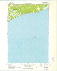 1973 Wealthwood1976 Print · USGSThe northern shores of Mille Lacs Lake are captured here in the early seventies, showing a landscape defined by timber and water. You can trace local landmarks like Wealthwood, the Cem, and the recreation grounds at Camp Kitchi Kahniss.
 - 1985 Map of Mille Lacs Lake
 1985 Mille Lacs Lake1985 Print · USGSMille Lacs Lake and its surrounding settlements are shown in the mid-1980s as a hub of lake-shore recreation and rail commerce. Researchers can trace historic transport lines like the Soo Line and locate communities such as Wahkon and Garrison.2 unique versions available
 - 2010 Map of Wealthwood, 2010 Print
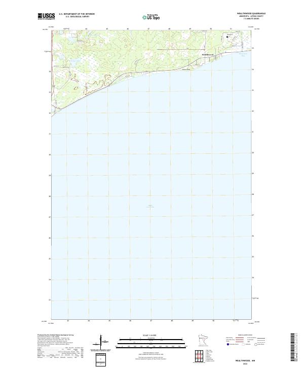
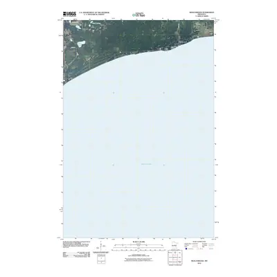 2010 Wealthwood2010 Print · USGSCovers Wealthwood, including Aitkin County, United States, and other nearby areas
 - 2013 Map of Wealthwood, 2013 Print
 2013 Wealthwood2013 Print · USGSCovers Wealthwood, including Aitkin County, United States, and other nearby areas
 - 2016 Map of Wealthwood, 2016 Print
 2016 Wealthwood2016 Print · USGSCovers Wealthwood, including Aitkin County, United States, and other nearby areas
 - 2019 Map of Wealthwood, 2019 Print
 2019 Wealthwood2019 Print · USGSCovers Wealthwood, including Aitkin County, United States, and other nearby areas
 - 2022 Map of Wealthwood, 2022 Print
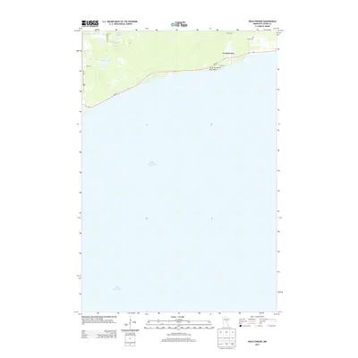
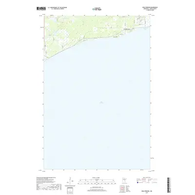
 2022 Wealthwood2022 Print · USGSThe northern shores of Mille Lacs Lake appear here in the early twenty-first century, showcasing the lakeside community of Wealthwood. Researchers can locate the Black Cem and trace road networks around Bergstrom Bay and Petes Lakes.
End of results
Showing maps 1-10 of 10
Top cities near Wealthwood
- Aitkin historical maps
- Bay Lake historical maps
- Isle historical maps
- Glen historical maps
- Malmo historical maps
- Kimberly historical maps
See more
Frequently asked questions
- What are the different types of historical maps available for Wealthwood?
- What is the oldest map of Wealthwood?
- Where can I purchase historical maps of Wealthwood for my home or office?
- Where can I download high-res historical maps of Wealthwood?
- Are there historical topographic maps available for Wealthwood?
- Is there historical aerial imagery available for Wealthwood?
- Where are historical maps of Wealthwood sourced from?