2000s (21st Century) Maps of Andover, Minnesota
Explore 20 historic maps of Andover from the 2000s (21st Century). These maps offer a rare glimpse into what life looked like during the 2000s — showing old roads, neighborhoods, homes, and landmarks that have changed or disappeared over time.
Whether you're researching your family's past, planning a metal detecting trip, or studying how Andover's landscape evolved across the 2000s, these high-resolution maps are a powerful tool for exploring the history of this region.
- Focus on a specific era: All maps on this page are from the 2000s, giving you a focused view of this time period.
- See what’s changed: Compare century-old streets, trails, and buildings to today's modern landscape using overlays and satellite layers.
- Research with precision: Use these maps for genealogy, historical research, land use analysis, or educational projects.
- View, download, or print: Maps are fully viewable online in high resolution, and can be downloaded or printed for your own records.
Start exploring Andover's history through authentic maps from the 2000s. This is your window into the past.
Andover, MN maps
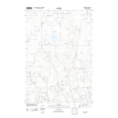
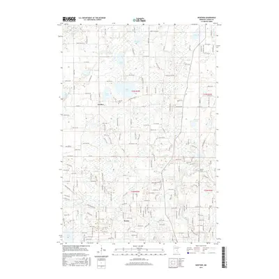
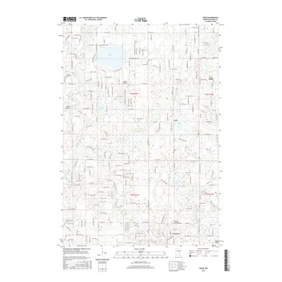
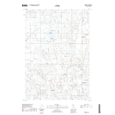
(20)- 2010 Map of Cedar, 2010 Print
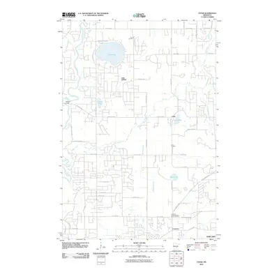 2010 Cedar2010 Print · USGSCovers Andover, including Ramsey, Ham Lake, and other nearby areas
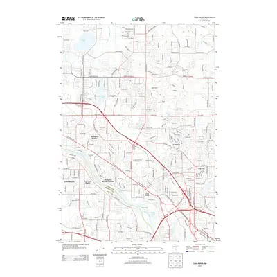
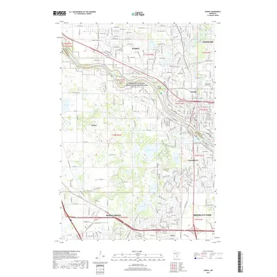
 - 2010 Map of Coon Rapids, 2010 Print
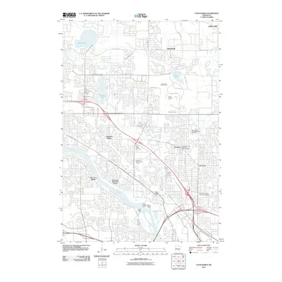 2010 Coon Rapids2010 Print · USGSCovers Andover, including Brooklyn Park, Coon Rapids, and other nearby areas
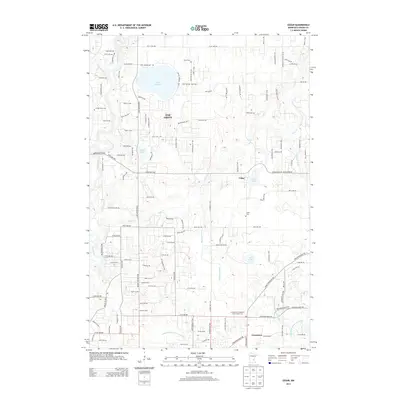
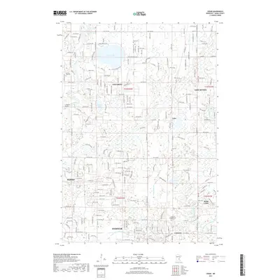
 - 2010 Map of Nowthen, 2010 Print
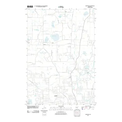 2010 Nowthen2010 Print · USGSCovers Andover, including Ramsey, Oak Grove, and other nearby areas
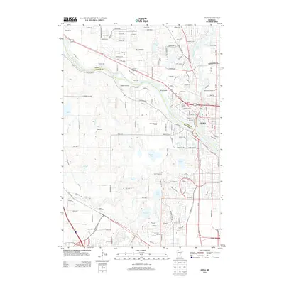
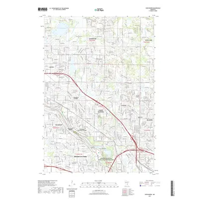
 - 2010 Map of Anoka, 2010 Print
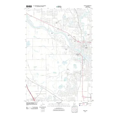 2010 Anoka2010 Print · USGSCovers Andover, including Brooklyn Park, Maple Grove, and other nearby areas
 - 2013 Map of Nowthen, 2013 Print
 2013 Nowthen2013 Print · USGSCovers Andover, including Ramsey, Oak Grove, and other nearby areas
 - 2013 Map of Anoka, 2013 Print
 2013 Anoka2013 Print · USGSCovers Andover, including Brooklyn Park, Maple Grove, and other nearby areas
 - 2013 Map of Cedar, 2013 Print
 2013 Cedar2013 Print · USGSCovers Andover, including Ramsey, Ham Lake, and other nearby areas
 - 2013 Map of Coon Rapids, 2013 Print
 2013 Coon Rapids2013 Print · USGSCovers Andover, including Brooklyn Park, Coon Rapids, and other nearby areas
 - 2016 Map of Nowthen, 2016 Print
 2016 Nowthen2016 Print · USGSCovers Andover, including Ramsey, Oak Grove, and other nearby areas
 - 2016 Map of Cedar, 2016 Print
 2016 Cedar2016 Print · USGSCovers Andover, including Ramsey, Ham Lake, and other nearby areas
 - 2016 Map of Anoka, 2016 Print
 2016 Anoka2016 Print · USGSCovers Andover, including Brooklyn Park, Maple Grove, and other nearby areas
 - 2016 Map of Coon Rapids, 2016 Print
 2016 Coon Rapids2016 Print · USGSCovers Andover, including Brooklyn Park, Coon Rapids, and other nearby areas
 - 2019 Map of Nowthen, 2019 Print
 2019 Nowthen2019 Print · USGSCovers Andover, including Ramsey, Oak Grove, and other nearby areas
 - 2019 Map of Cedar, 2019 Print
 2019 Cedar2019 Print · USGSCovers Andover, including Ramsey, Ham Lake, and other nearby areas
 - 2019 Map of Anoka, 2019 Print
 2019 Anoka2019 Print · USGSCovers Andover, including Brooklyn Park, Maple Grove, and other nearby areas
 - 2019 Map of Coon Rapids, 2019 Print
 2019 Coon Rapids2019 Print · USGSCovers Andover, including Brooklyn Park, Coon Rapids, and other nearby areas
 - 2022 Map of Cedar, 2022 Print
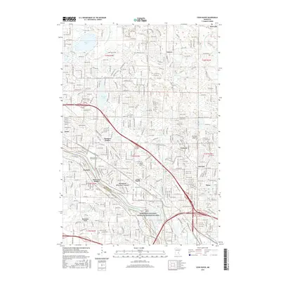
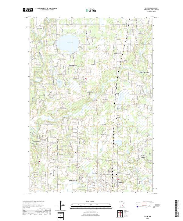 2022 Cedar2022 Print · USGSAnoka County's northern townships are captured here as they balanced suburban growth with their rural roots in the early 2020s. Researchers can locate family sites near Pierce Cem, trace the winding Rum River, and identify old neighborhoods in Oak Grove and Cedar.
 - 2022 Map of Nowthen, 2022 Print
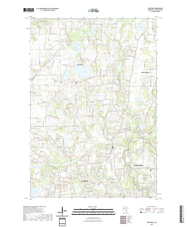 2022 Nowthen2022 Print · USGSIn the early twenty-first century, this Anoka County landscape shows a mix of rural lake country and modern suburban growth. Genealogists and historians can trace local family landmarks through Lakeview Cem and the waters of Trott Brook and the Rum River.
 - 2022 Map of Coon Rapids, 2022 Print
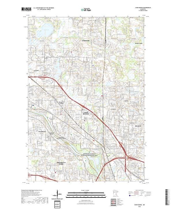 2022 Coon Rapids2022 Print · USGSCoon Rapids and its neighbors in Anoka and Hennepin counties are shown here in the 2020s as a fully realized suburban corridor. Researchers can locate specific neighborhoods like Thompson Riverview Terrace or find family plots at Joyce Chapel Cem and Morningside Memorial Gardens Cem.
 - 2022 Map of Anoka, 2022 Print
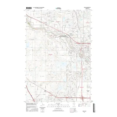
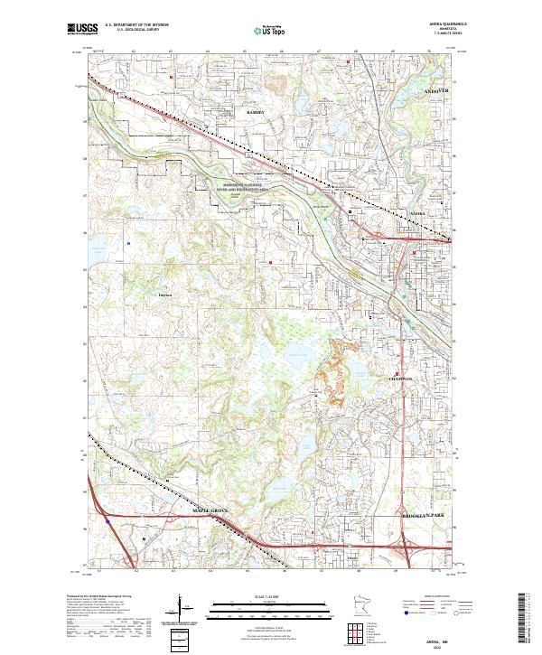 2022 Anoka2022 Print · USGSThe confluence of the Mississippi and Rum rivers comes into focus in this recent look at the northern Twin Cities suburbs. Researchers can locate numerous historic burial sites like Saint Fridolin Cem or trace the geography of islands including Kings Island.
End of results
Showing maps 1-20 of 20
Top cities near Andover
- Minneapolis historical maps
- Brooklyn Park historical maps
- Plymouth historical maps
- Maple Grove historical maps
- Coon Rapids historical maps
- Blaine historical maps
See more
Top neighborhoods of Andover
Frequently asked questions
- What are the different types of historical maps available for Andover?
- What is the oldest map of Andover?
- Where can I purchase historical maps of Andover for my home or office?
- Where can I download high-res historical maps of Andover?
- Are there historical topographic maps available for Andover?
- Is there historical aerial imagery available for Andover?
- Where are historical maps of Andover sourced from?