2000s (21st Century) Maps of West Cook, Minnesota
Explore 125 historic maps of West Cook from the 2000s (21st Century). These maps offer a rare glimpse into what life looked like during the 2000s — showing old roads, neighborhoods, homes, and landmarks that have changed or disappeared over time.
Whether you're researching your family's past, planning a metal detecting trip, or studying how West Cook's landscape evolved across the 2000s, these high-resolution maps are a powerful tool for exploring the history of this region.
- Focus on a specific era: All maps on this page are from the 2000s, giving you a focused view of this time period.
- See what’s changed: Compare century-old streets, trails, and buildings to today's modern landscape using overlays and satellite layers.
- Research with precision: Use these maps for genealogy, historical research, land use analysis, or educational projects.
- View, download, or print: Maps are fully viewable online in high resolution, and can be downloaded or printed for your own records.
Start exploring West Cook's history through authentic maps from the 2000s. This is your window into the past.
West Cook, MN maps
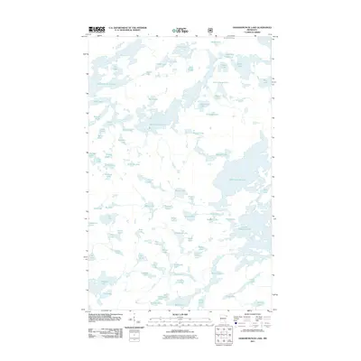
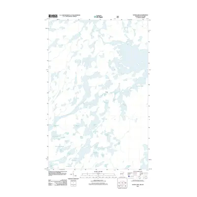
(125)- 2011 Map of Gunflint Lake, 2011 Print
 2011 Gunflint Lake2011 Print · USGSCovers West Cook, including Unorganized Thunder Bay District, East Cook, and other nearby areas
 - 2011 Map of Gillis Lake, 2011 Print
 2011 Gillis Lake2011 Print · USGSCovers West Cook, including Cook County, United States, and other nearby areas
 - 2011 Map of Hungry Jack Lake, 2011 Print
 2011 Hungry Jack Lake2011 Print · USGSCovers West Cook, including Unorganized Thunder Bay District, East Cook, and other nearby areas
 - 2011 Map of Crocodile Lake, 2011 Print
 2011 Crocodile Lake2011 Print · USGSCovers West Cook, including Unorganized Thunder Bay District, East Cook, and other nearby areas
 - 2011 Map of South Lake, 2011 Print
 2011 South Lake2011 Print · USGSCovers West Cook, including Unorganized Thunder Bay District, East Cook, and other nearby areas
 - 2011 Map of Pine Mountain, 2011 Print
 2011 Pine Mountain2011 Print · USGSCovers West Cook, including East Cook, Cook County, and other nearby areas
 - 2011 Map of Mark Lake, 2011 Print
 2011 Mark Lake2011 Print · USGSCovers West Cook, including Cook County, United States, and other nearby areas
 - 2011 Map of Good Harbor Bay OE E, 2011 Print
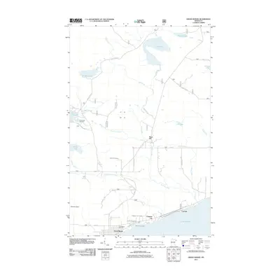
 2011 Good Harbor Bay OE E2011 Print · USGSCovers West Cook, including Grand Marais, Cook County, and other nearby areas
 - 2011 Map of Deer Yard Lake, 2011 Print
 2011 Deer Yard Lake2011 Print · USGSCovers West Cook, including Cook County, United States, and other nearby areas
 - 2011 Map of Tait Lake, 2011 Print
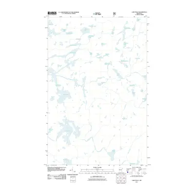
 2011 Tait Lake2011 Print · USGSCovers West Cook, including Lutsen Township, Cook County, and other nearby areas
 - 2011 Map of Eagle Mountain, 2011 Print
 2011 Eagle Mountain2011 Print · USGSCovers West Cook, including Cook County, United States, and other nearby areas
 - 2011 Map of Cherokee Lake, 2011 Print
 2011 Cherokee Lake2011 Print · USGSCovers West Cook, including Tofte Township, Lutsen Township, and other nearby areas
 - 2011 Map of Kelso Mountain, 2011 Print
 2011 Kelso Mountain2011 Print · USGSCovers West Cook, including Schroeder Township, Tofte Township, and other nearby areas
 - 2011 Map of Grand Marais, 2011 Print
 2011 Grand Marais2011 Print · USGSCovers West Cook, including Grand Marais, East Cook, and other nearby areas
 - 2011 Map of Brule Lake, 2011 Print
 2011 Brule Lake2011 Print · USGSCovers West Cook, including Lutsen Township, Cook County, and other nearby areas
 - 2011 Map of Lima Mountain, 2011 Print
 2011 Lima Mountain2011 Print · USGSCovers West Cook, including Cook County, United States, and other nearby areas
 - 2011 Map of Devil Track Lake, 2011 Print
 2011 Devil Track Lake2011 Print · USGSCovers West Cook, including Cook County, United States, and other nearby areas
 - 2011 Map of Long Island Lake, 2011 Print
 2011 Long Island Lake2011 Print · USGSCovers West Cook, including Unorganized Thunder Bay District, East Cook, and other nearby areas
 - 2011 Map of Lutsen, 2011 Print
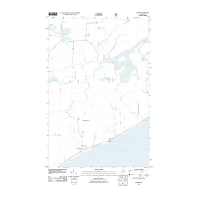 2011 Lutsen2011 Print · USGSCovers West Cook, including Lutsen, Lutsen Township, and other nearby areas
 - 2011 Map of Lake Polly, 2011 Print
 2011 Lake Polly2011 Print · USGSCovers West Cook, including Schroeder Township, Lake No. 1, and other nearby areas
 - 2011 Map of Good Harbor Bay, 2011 Print
 2011 Good Harbor Bay2011 Print · USGSCovers West Cook, including Cook County, United States, and other nearby areas
 - 2011 Map of Ogishkemuncie Lake, 2011 Print
 2011 Ogishkemuncie Lake2011 Print · USGSCovers West Cook, including Fall Lake Township, Lake County, and other nearby areas
 - 2011 Map of Munker Island, 2011 Print
 2011 Munker Island2011 Print · USGSCovers West Cook, including Unorganized Thunder Bay District, Thunder Bay District, and other nearby areas
 - 2011 Map of Conners Island, 2011 Print
 2011 Conners Island2011 Print · USGSCovers West Cook, including Unorganized Thunder Bay District, Thunder Bay District, and other nearby areas
 - 2011 Map of Ester Lake, 2011 Print
 2011 Ester Lake2011 Print · USGSCovers West Cook, including Unorganized Thunder Bay District, Unorganized Rainy River, and other nearby areas
Showing maps 1-25 of 125
Top neighborhoods of West Cook
- Croftville historical maps
- Pine Mountain Trailer Court historical maps
- Chippewa City historical maps
- Maple Hill historical maps
Frequently asked questions
- What are the different types of historical maps available for West Cook?
- What is the oldest map of West Cook?
- Where can I purchase historical maps of West Cook for my home or office?
- Where can I download high-res historical maps of West Cook?
- Are there historical topographic maps available for West Cook?
- Is there historical aerial imagery available for West Cook?
- Where are historical maps of West Cook sourced from?