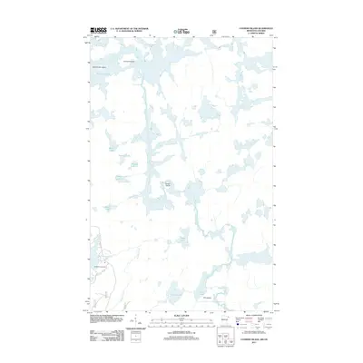
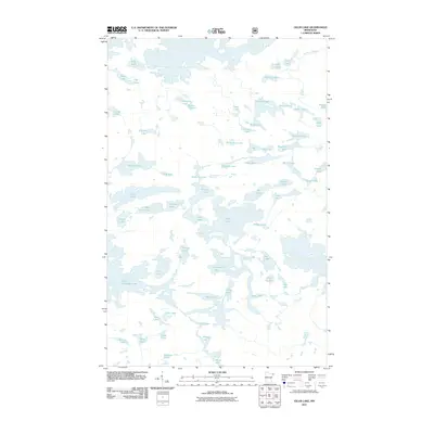
2011 Map of Conners Island
USGS Topo · Published 2011About this map
Saganaga Lake dominates the northern reaches of this landscape along the Minnesota-Ontario border, where the Granite River serves as a primary aqueous artery connecting a network of smaller interior water bodies. The geography is characterized by an intricate sequence of lakes, including Morris Lake, Reward Lake, and Shadow Lake, separated by narrow channels and portage points like Saganaga Falls and the sharp bend at Devils Elbow. Human activity is concentrated at Blackenburg Landing in the southwest, accessed by Sea Gull Lake Rd. The map documents a pristine island-dotted environment, highlighting named landforms such as Conners Island, Oskenonton Island, and Pine Island. The southeastern corner is defined by the Pine River drainage, which flows near Clove Lake and Larch Lake, illustrating the complex hydrology of this borderland region.
Find a feature on this map
20 named features on this map. Tap any name to fly to it.
Don’t see what you’re looking for? This feature index may not catch every label — zoom into the map to look around manually.
Map Details
Editions of this 2011 Conners Island Map
This is the sole edition of this map. No revisions or reprints were ever made.
Other maps of this area

1957 · Quetico
USGS Topo · 1:250,000

1959 · Munker Island
USGS Topo · 1:24,000

1959 · Conners Island
USGS Topo · 1:24,000

1959 · Gillis Lake
USGS Topo · 1:24,000
1960 · Gunflint Lake
USGS Topo · 1:24,000
1960 · Long Island Lake
USGS Topo · 1:24,000

1968 · Quetico
USGS Topo · 1:250,000

1976 · Saganaga Lake
USGS Topo · 1:100,000
2011 · Gunflint Lake
USGS Topo · 1:24,000
2011 · Gillis Lake
USGS Topo · 1:24,000