Old Maps of Delft, Minnesota for Hiking & Exploration
Hike through history with 9 historic maps of Delft. Explore old trails, ghost towns, and forgotten backroads — perfect for outdoor adventurers and local explorers.
- Rediscover forgotten places: Map out old mining camps, roads, and footpaths that no longer exist on modern maps.
- Layer with modern tools: Combine with LiDAR or satellite views to plan hikes through historical terrain.
- Made for exploration: Popular among hikers, overlanders, and local history lovers.
Use these maps to find adventure and explore the hidden past of Delft.
Delft, MN maps
(9)- 1954 Map of Fairmont, 1967 Print
 1954 Fairmont1967 Print · USGSThe prairie landscape of southern Minnesota and northern Iowa comes alive in this mid-century survey of the Coteau des Prairies. Genealogists and historians can trace the rail-connected growth of Fairmont and Blue Earth or locate family roots near St Kilian Ch and Union Slough National Wildlife Refuge.3 unique versions available
 - 1958 Map of Fairmont
 1958 Fairmont1958 Print · USGSThe borderlands of southern Minnesota and northern Iowa come alive in the mid-1950s, showing a landscape defined by glacial lakes and rail-line commerce. Researchers can trace historic landmarks like Lakeside Laboratory, Gridley Station, and the Bancroft Wildlife Refuge across the prairie.
 - 1970 Map of Bingham Lake, 1972 Print
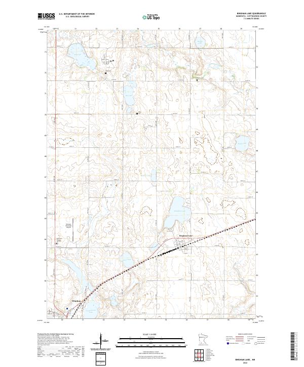
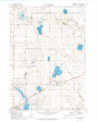 1970 Bingham Lake1972 Print · USGSBingham Lake and the surrounding Cottonwood County prairie are shown here in the early 1970s, as the region's rail-and-lake economy thrived. Researchers can locate several family burial sites like Voth Cem or trace the Chicago and North Western line through Delft.
 - 1985 Map of Worthington
 1985 Worthington1985 Print · USGSSouthwestern Minnesota and northwestern Iowa are captured in the mid-1980s, showcasing the high-water mark of the region's agricultural and rail-line infrastructure. Researchers can trace the path of the Chicago and North Western through prairie towns like Adrian, Wilmont, and Lakefield.2 unique versions available
 - 2010 Map of Bingham Lake, 2010 Print
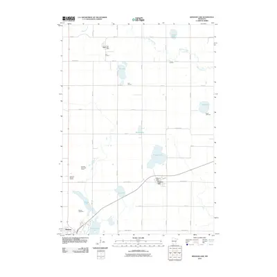 2010 Bingham Lake2010 Print · USGSCovers Delft, including Windom, Bingham Lake, and other nearby areas
 - 2013 Map of Bingham Lake, 2013 Print
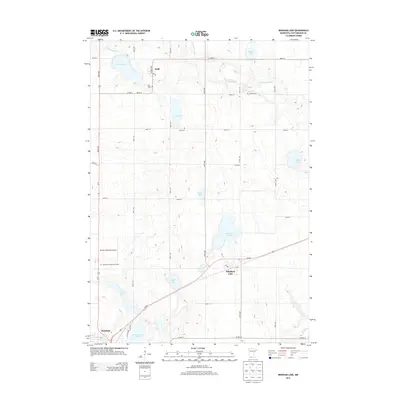 2013 Bingham Lake2013 Print · USGSCovers Delft, including Windom, Bingham Lake, and other nearby areas
 - 2016 Map of Bingham Lake, 2016 Print
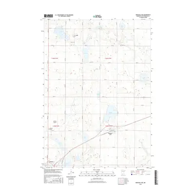 2016 Bingham Lake2016 Print · USGSCovers Delft, including Windom, Bingham Lake, and other nearby areas
 - 2019 Map of Bingham Lake, 2019 Print
 2019 Bingham Lake2019 Print · USGSCovers Delft, including Windom, Bingham Lake, and other nearby areas
 - 2022 Map of Bingham Lake, 2022 Print
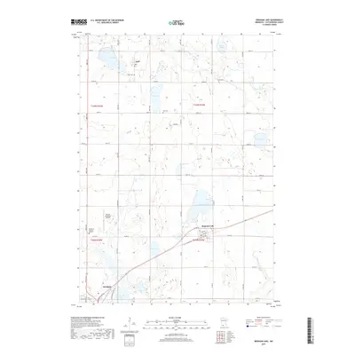
 2022 Bingham Lake2022 Print · USGSBingham Lake and the surrounding Cottonwood County townships are shown here in the early twenty-first century as a landscape of prairie lakes and farms. Researchers can trace rural lineages at Delft Cem and Carson Cem or follow the waters of the Watonwan River.
End of results
Showing maps 1-9 of 9
Top cities near Delft
- Windom historical maps
- Mountain Lake historical maps
- Heron Lake historical maps
- Jeffers historical maps
- Comfrey historical maps
- Sanborn historical maps
See more
Frequently asked questions
- What are the different types of historical maps available for Delft?
- What is the oldest map of Delft?
- Where can I purchase historical maps of Delft for my home or office?
- Where can I download high-res historical maps of Delft?
- Are there historical topographic maps available for Delft?
- Is there historical aerial imagery available for Delft?
- Where are historical maps of Delft sourced from?