Old Maps of Delft, Minnesota for Metal Detecting
Plan your next treasure hunt with 9 historic maps of Delft. Find old homesites, ghost towns, trails, and gathering spots that may be lost to time — perfect for identifying promising metal detecting locations.
- Locate forgotten sites: Uncover places like long-lost settlements, abandoned rail lines, or gathering spots.
- Plan better hunts: Use map overlays combined with LiDAR or satellite views to narrow in on historically rich areas.
- Made for detectorists: Thousands of hobbyists use these maps to discover relics, coins, and hidden history.
Use these historic maps to boost your research and find new opportunities beneath the surface of Delft.
Delft, MN maps
(9)- 1954 Map of Fairmont, 1967 Print
 1954 Fairmont1967 Print · USGSThe prairie landscape of southern Minnesota and northern Iowa comes alive in this mid-century survey of the Coteau des Prairies. Genealogists and historians can trace the rail-connected growth of Fairmont and Blue Earth or locate family roots near St Kilian Ch and Union Slough National Wildlife Refuge.3 unique versions available
 - 1958 Map of Fairmont
 1958 Fairmont1958 Print · USGSThe borderlands of southern Minnesota and northern Iowa come alive in the mid-1950s, showing a landscape defined by glacial lakes and rail-line commerce. Researchers can trace historic landmarks like Lakeside Laboratory, Gridley Station, and the Bancroft Wildlife Refuge across the prairie.
 - 1970 Map of Bingham Lake, 1972 Print
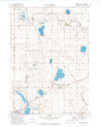 1970 Bingham Lake1972 Print · USGSBingham Lake and the surrounding Cottonwood County prairie are shown here in the early 1970s, as the region's rail-and-lake economy thrived. Researchers can locate several family burial sites like Voth Cem or trace the Chicago and North Western line through Delft.
 - 1985 Map of Worthington
 1985 Worthington1985 Print · USGSSouthwestern Minnesota and northwestern Iowa are captured in the mid-1980s, showcasing the high-water mark of the region's agricultural and rail-line infrastructure. Researchers can trace the path of the Chicago and North Western through prairie towns like Adrian, Wilmont, and Lakefield.2 unique versions available
 - 2010 Map of Bingham Lake, 2010 Print
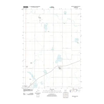 2010 Bingham Lake2010 Print · USGSCovers Delft, including Windom, Bingham Lake, and other nearby areas
 - 2013 Map of Bingham Lake, 2013 Print
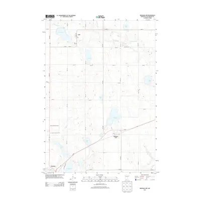 2013 Bingham Lake2013 Print · USGSCovers Delft, including Windom, Bingham Lake, and other nearby areas
 - 2016 Map of Bingham Lake, 2016 Print
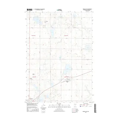 2016 Bingham Lake2016 Print · USGSCovers Delft, including Windom, Bingham Lake, and other nearby areas
 - 2019 Map of Bingham Lake, 2019 Print
 2019 Bingham Lake2019 Print · USGSCovers Delft, including Windom, Bingham Lake, and other nearby areas
 - 2022 Map of Bingham Lake, 2022 Print
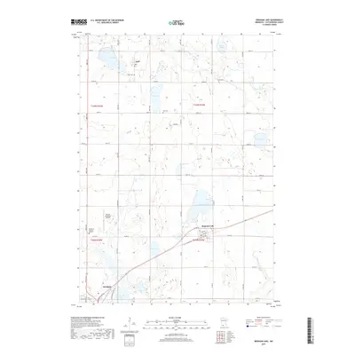
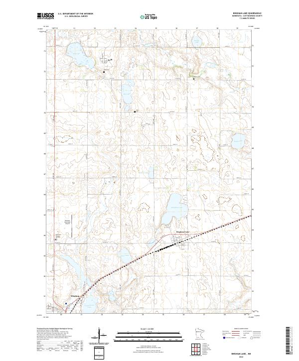 2022 Bingham Lake2022 Print · USGSBingham Lake and the surrounding Cottonwood County townships are shown here in the early twenty-first century as a landscape of prairie lakes and farms. Researchers can trace rural lineages at Delft Cem and Carson Cem or follow the waters of the Watonwan River.
End of results
Showing maps 1-9 of 9
Top cities near Delft
- Windom historical maps
- Mountain Lake historical maps
- Heron Lake historical maps
- Jeffers historical maps
- Comfrey historical maps
- Sanborn historical maps
See more
Frequently asked questions
- What are the different types of historical maps available for Delft?
- What is the oldest map of Delft?
- Where can I purchase historical maps of Delft for my home or office?
- Where can I download high-res historical maps of Delft?
- Are there historical topographic maps available for Delft?
- Is there historical aerial imagery available for Delft?
- Where are historical maps of Delft sourced from?