Old Maps of Legionville, Minnesota for Academic Research
Study the evolution of Legionville with 13 high-resolution historic maps. Whether you're teaching, researching, or modeling changes in land use, these maps provide essential visual documentation of urban, environmental, and geographic change.
- Analyze long-term change: Track patterns in development, transportation, and natural features.
- Ideal for environmental or urban studies: Support academic projects with primary historical map data.
- Use in the classroom or lab: Educators and researchers rely on these maps to bring historical context to life.
These maps are a powerful tool for teaching, research, and visualizing how Legionville has changed over the decades.
Legionville, MN maps
(13)- 1915 Map of Brainerd, 1960 Print
 1915 Brainerd1960 Print · USGSCrow Wing County during the early twentieth century is captured here as a landscape of interconnected lakes, railroads, and emerging settlements. Genealogists can trace rural school districts from School No 57 to School No 26 and locate early rail stops like Merrifield and Riverton.2 unique versions available
 - 1918 Map of Brainerd
 1918 Brainerd1918 Print · USGSCrow Wing County at the height of its rail-and-river era shows a landscape shaped by water and industry. Genealogists can locate specific district schoolhouses and early settlements like Brainerd, Merrifield, and Riverton along the Mississippi River.3 unique versions available
 - 1953 Map of Brainerd, 1966 Print
 1953 Brainerd1966 Print · USGSCentral Minnesota's lake country and iron ranges are detailed in the mid-fifties, showing the intersection of industry and wilderness. Researchers can locate specific local landmarks like the Crow Wing County Courthouse or trace the early paths of the Soo Line Railroad and the Cuyuna Range Iron Mines.3 unique versions available
 - 1957 Map of Brainerd
 1957 Brainerd1957 Print · USGSNorth-central Minnesota's lake-rich landscape is captured in the mid-1950s as a crossroads of rail, river, and forest. Genealogists and historians can trace the paths of the Great Northern and Soo Line railroads through hubs like Brainerd, Wadena, and Detroit Lakes.
 - 1958 Map of Brainerd
 1958 Brainerd1958 Print · USGSCentral Minnesota in the late fifties is a landscape of dense lake chains, rail hubs, and sprawling state forests. Genealogists and local historians can trace old property alignments near the Mississippi River or locate family sites in Brainerd, Little Falls, and Detroit Lakes.
 - 1965 Map of Brainerd
 1965 Brainerd1965 Print · USGSNorth-central Minnesota in the mid-fifties presents a complex landscape of sprawling lake systems and established rail corridors. Genealogists and historians can trace the growth of timber towns along the Northern Pacific RR and explore early borders of the White Earth Indian Reservation or Tamarac National Wildlife Refuge.
 - 1973 Map of Merrifield, 1976 Print
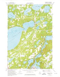 1973 Merrifield1976 Print · USGSThe lake country north of Brainerd is captured in the early 1970s, showing a transition from dense woodland and water to emerging infrastructure. Researchers can trace the Burlington Northern line through Merrifield and locate family sites at Lake Edward Cemetery.2 unique versions available
 - 1986 Map of Brainerd
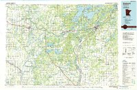 1986 Brainerd1986 Print · USGSCentral Minnesota's lake country and river junctions are captured here in the mid-1980s. Genealogists and historians can trace the Burlington Northern line through Staples or locate family sites near Brainerd State Hospital and Gull Lake.2 unique versions available
 - 2010 Map of Merrifield, 2010 Print
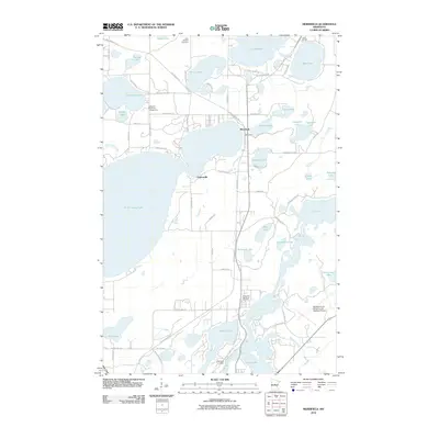 2010 Merrifield2010 Print · USGSMerrifield and the surrounding lake country appear in this contemporary survey of Crow Wing County's recreational and transit corridors. Researchers can trace local heritage sites like Lake Edward Cemetery or follow the historic path of the Old Logging Trl.
 - 2013 Map of Merrifield, 2013 Print
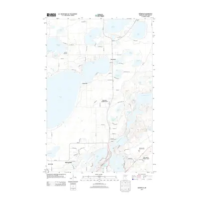 2013 Merrifield2013 Print · USGSThe Brainerd Lakes area in the early twenty-first century is a complex landscape of glacial waters and growing settlements. Researchers can trace local lineage and development through Edward Cem, the community of Merrifield, and the infrastructure of the Brainerd Lakes Regional Airport.
 - 2016 Map of Merrifield, 2016 Print
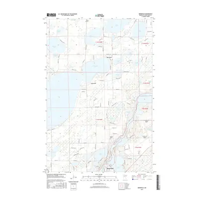 2016 Merrifield2016 Print · USGSThe Crow Wing County lake country comes into focus in this mid-2010s survey of the northern outskirts of Brainerd. Local researchers can trace the shorelines of North Long Lake and Lake Edward or locate family sites near Merrifield and the Lake Edward Cem.
 - 2019 Map of Merrifield, 2019 Print
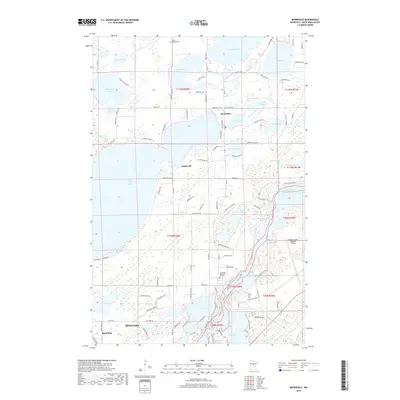 2019 Merrifield2019 Print · USGSCrow Wing County's lake country is captured here during a period of steady growth north of the regional hubs. Genealogists and local historians can trace legacy sites like Edward Cem and Evergreen Memorial Gardens or explore the waterfront developments around Merrifield and North Long Lake.
 - 2022 Map of Merrifield, 2022 Print
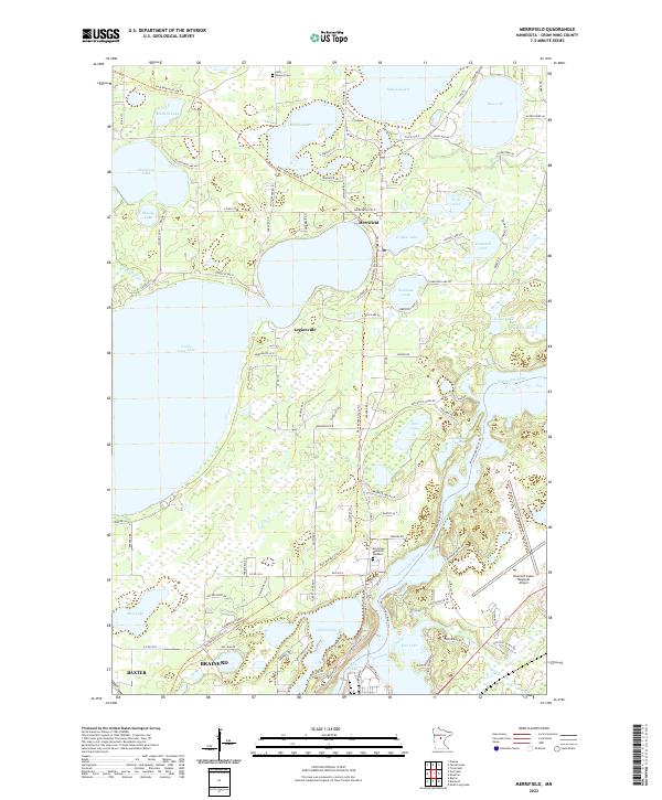 2022 Merrifield2022 Print · USGSThe Brainerd Lakes region in the early 2020s shows a dense network of forest roads and lakeside communities. Researchers can trace the path of the Paul Bunyan State Trail as it passes through Merrifield and Legionville toward the Mississippi River.
End of results
Showing maps 1-13 of 13
Top cities near Legionville
- Brainerd historical maps
- Baxter historical maps
- Crosby historical maps
- Nisswa historical maps
- Sylvan historical maps
- Pequot Lakes historical maps
See more
Frequently asked questions
- What are the different types of historical maps available for Legionville?
- What is the oldest map of Legionville?
- Where can I purchase historical maps of Legionville for my home or office?
- Where can I download high-res historical maps of Legionville?
- Are there historical topographic maps available for Legionville?
- Is there historical aerial imagery available for Legionville?
- Where are historical maps of Legionville sourced from?