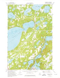
1973 Map of Merrifield
USGS Topo · Published 1976About this map
Merrifield serves as the focal point of this northern Crow Wing County landscape in the early 1970s, situated at the intersection of local roads and the Burlington Northern railroad. The area is defined by a dense network of glacial water bodies, with the massive North Long Lake and Lake Edward framing the central terrain. Smaller basins such as Mollie Lake, Gladstone Lake, and Crystal Lake reveal a region defined by its hydrology and recreation.
Find a feature on this map
35 named features on this map. Tap any name to fly to it.
Don’t see what you’re looking for? This feature index may not catch every label — zoom into the map to look around manually.
Map Details
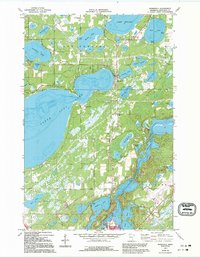
Editions of this 1973 Merrifield Map
2 editions found
Other maps of this area

1915 · Brainerd
USGS Topo · 1:62,500

1916 · Pillager
USGS Topo · 1:62,500

1918 · Brainerd
USGS Topo · 1:62,500

1919 · Pillager
USGS Topo · 1:62,500

1953 · Brainerd
USGS Topo · 1:250,000

1954 · Baxter
USGS Topo · 1:24,000

1957 · Brainerd
USGS Topo · 1:250,000

1958 · Brainerd
USGS Topo · 1:250,000

1959 · Trommald
USGS Topo · 1:24,000

1959 · Pelican Lake
USGS Topo · 1:24,000