Old Maps of Wells, Minnesota for Academic Research
Study the evolution of Wells with 17 high-resolution historic maps. Whether you're teaching, researching, or modeling changes in land use, these maps provide essential visual documentation of urban, environmental, and geographic change.
- Analyze long-term change: Track patterns in development, transportation, and natural features.
- Ideal for environmental or urban studies: Support academic projects with primary historical map data.
- Use in the classroom or lab: Educators and researchers rely on these maps to bring historical context to life.
These maps are a powerful tool for teaching, research, and visualizing how Wells has changed over the decades.
Wells, MN maps
(17)- 1954 Map of Mason City, 1967 Print
 1954 Mason City1967 Print · USGSSouthern Minnesota and northern Iowa are shown here at the height of the mid-century rail era, centered on the regional hubs of Mason City and Rochester. Researchers can trace the vanished paths of the Chicago Great Western and find local landmarks like Pilot Knob and Bear Lake.2 unique versions available
 - 1955 Map of Wells, 1956 Print
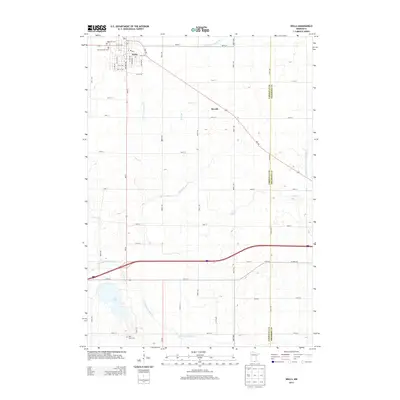
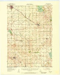 1955 Wells1956 Print · USGSSouthern Minnesota in the mid-fifties remains a world of section-line roads and busy rail junctions between Wells and Alden. Genealogists and historians can trace numerous rural schoolhouses like Pioneer Sch and local landmarks such as Zion Ch or Arrowhead Point on Freeborn Lake.
 - 1957 Map of Mason City
 1957 Mason City1957 Print · USGSThe Minnesota-Iowa border region comes alive in this mid-century survey, from the industrial plants of Mason City to the medical hub of Rochester. Researchers can trace the rail-and-river economy through the Chicago Great Western Railway and the Shell Rock River.
 - 1958 Map of Mason City
 1958 Mason City1958 Print · USGSSouthern Minnesota and northern Iowa are shown during the mid-fifties when railroads still anchored the regional economy. Genealogists and historians can trace the intricate rail networks of the Illinois Central and find local landmarks in Mason City, Albert Lea, and Austin.
 - 1967 Map of Matawan, 1969 Print
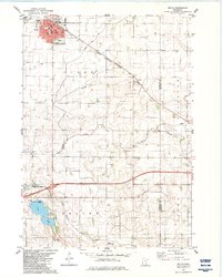
 1967 Matawan1969 Print · USGSSouthern Minnesota farming communities flourished in the late sixties as the rail lines connected small hubs to larger markets. Genealogists can trace family footprints near St Pauls Ch, the Townhall, and the rural sidings of Matawan and Wells.
 - 1982 Map of Wells, 1983 Print
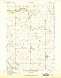
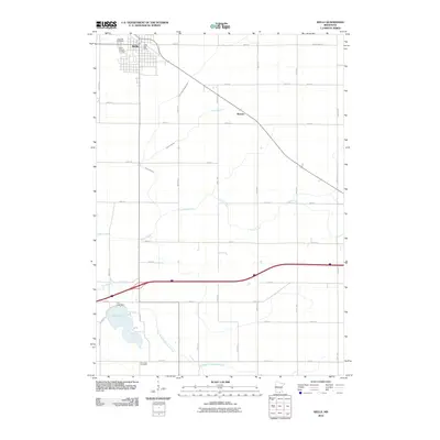
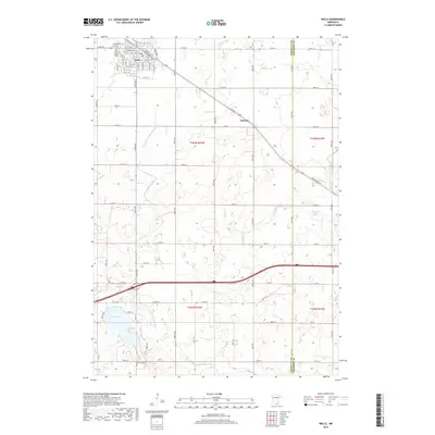
 1982 Wells1983 Print · USGSWells and the surrounding Faribault County prairie are captured here in the early eighties as a thriving agricultural and rail corridor. Genealogists and local historians can trace the foundations of the community through St Casimir Cem, Rice Lake Cem, and the rail stops at Thistius and Baroda.
 - 1985 Map of Albert Lea
 1985 Albert Lea1985 Print · USGSSouthern Minnesota's agricultural heartland is documented here in the mid-1980s, showing a landscape defined by industrial rail lines and managed waterways. Trace the historic routes of the Chicago and North Western and explore settlements like Hollandale, New Richland, and Bricelyn.2 unique versions available
 - 2010 Map of Matawan, 2010 Print
 2010 Matawan2010 Print · USGSCovers Wells, including Matawan, Freeborn County, and other nearby areas
 - 2010 Map of Wells, 2010 Print
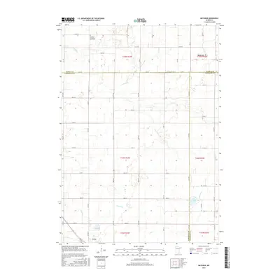
 2010 Wells2010 Print · USGSCovers Wells, including Baroda, Freeborn County, and other nearby areas
 - 2013 Map of Matawan, 2013 Print
 2013 Matawan2013 Print · USGSCovers Wells, including Matawan, Freeborn County, and other nearby areas
 - 2013 Map of Wells, 2013 Print
 2013 Wells2013 Print · USGSCovers Wells, including Baroda, Freeborn County, and other nearby areas
 - 2016 Map of Matawan, 2016 Print
 2016 Matawan2016 Print · USGSCovers Wells, including Matawan, Freeborn County, and other nearby areas
 - 2016 Map of Wells, 2016 Print
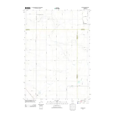
 2016 Wells2016 Print · USGSCovers Wells, including Baroda, Freeborn County, and other nearby areas
 - 2019 Map of Wells, 2019 Print
 2019 Wells2019 Print · USGSCovers Wells, including Baroda, Freeborn County, and other nearby areas
 - 2019 Map of Matawan, 2019 Print
 2019 Matawan2019 Print · USGSCovers Wells, including Matawan, Freeborn County, and other nearby areas
 - 2022 Map of Wells, 2022 Print
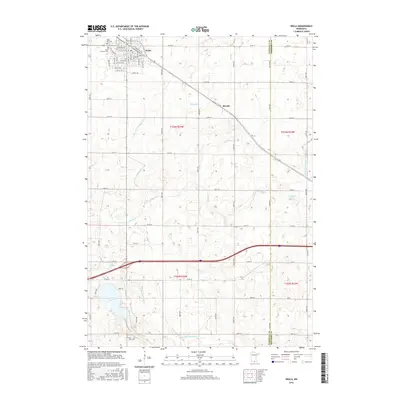
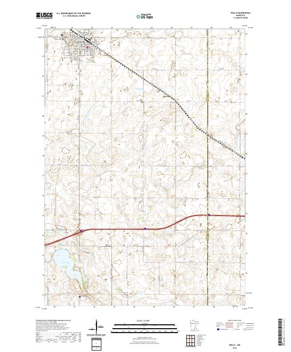 2022 Wells2022 Print · USGSThe agricultural heartland of southern Minnesota is documented here in the early twenty-first century, centered on the rail-aligned town of Wells. Genealogists and local historians can trace family plots at Rosehill Cem or explore the drainage of Rice Lake and the E Br Blue Earth River.
 - 2022 Map of Matawan, 2022 Print
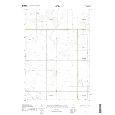
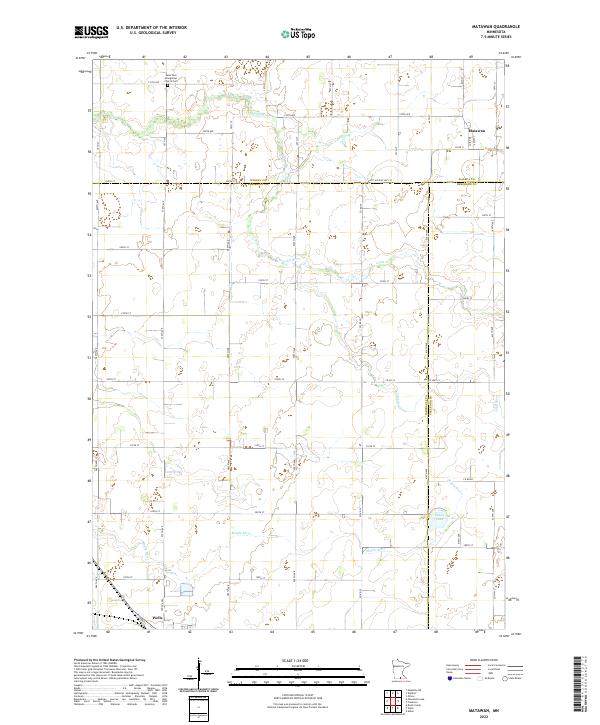 2022 Matawan2022 Print · USGSThe Faribault County borderlands come into focus in the early 2020s, showing a landscape defined by the Cobb River and rural township grids. Researchers can trace family sites near Matawan, the Saint Paul Evangelical Church Cem, and the outskirts of Wells.
End of results
Showing maps 1-17 of 17
Top cities near Wells
- Mapleton historical maps
- New Richland historical maps
- Minnesota Lake historical maps
- Alden historical maps
- Kiester historical maps
- Bricelyn historical maps
See more
Frequently asked questions
- What are the different types of historical maps available for Wells?
- What is the oldest map of Wells?
- Where can I purchase historical maps of Wells for my home or office?
- Where can I download high-res historical maps of Wells?
- Are there historical topographic maps available for Wells?
- Is there historical aerial imagery available for Wells?
- Where are historical maps of Wells sourced from?