Old Maps of Fountain, Minnesota for Academic Research
Study the evolution of Fountain with 16 high-resolution historic maps. Whether you're teaching, researching, or modeling changes in land use, these maps provide essential visual documentation of urban, environmental, and geographic change.
- Analyze long-term change: Track patterns in development, transportation, and natural features.
- Ideal for environmental or urban studies: Support academic projects with primary historical map data.
- Use in the classroom or lab: Educators and researchers rely on these maps to bring historical context to life.
These maps are a powerful tool for teaching, research, and visualizing how Fountain has changed over the decades.
Fountain, MN maps
(16)- 1954 Map of Mason City, 1967 Print
 1954 Mason City1967 Print · USGSSouthern Minnesota and northern Iowa are shown here at the height of the mid-century rail era, centered on the regional hubs of Mason City and Rochester. Researchers can trace the vanished paths of the Chicago Great Western and find local landmarks like Pilot Knob and Bear Lake.2 unique versions available
 - 1957 Map of Mason City
 1957 Mason City1957 Print · USGSThe Minnesota-Iowa border region comes alive in this mid-century survey, from the industrial plants of Mason City to the medical hub of Rochester. Researchers can trace the rail-and-river economy through the Chicago Great Western Railway and the Shell Rock River.
 - 1958 Map of Mason City
 1958 Mason City1958 Print · USGSSouthern Minnesota and northern Iowa are shown during the mid-fifties when railroads still anchored the regional economy. Genealogists and historians can trace the intricate rail networks of the Illinois Central and find local landmarks in Mason City, Albert Lea, and Austin.
 - 1965 Map of Fountain, 1967 Print
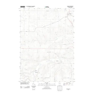
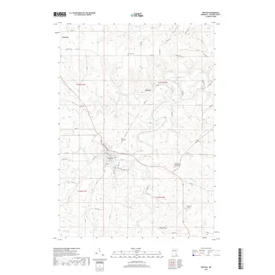
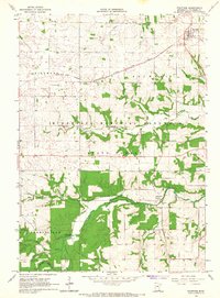 1965 Fountain1967 Print · USGSFillmore County was undergoing a period of landscape preservation in the mid-sixties as forested bluffs were set aside for conservation. Researchers can trace the rail lines of the Chicago Milwaukee St Paul and Pacific or locate local burials at Winslow Cem and Carimona Cem.2 unique versions available
 - 1965 Map of Preston, 1967 Print
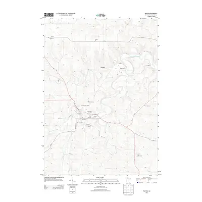
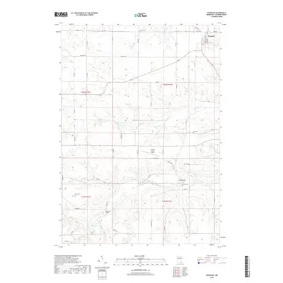
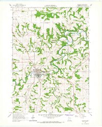 1965 Preston1967 Print · USGSPreston and the surrounding Fillmore County highlands are captured here in the mid-sixties as the river valleys supported a mix of rail transport and timber. Genealogists can trace family plots at St Columbanus Cem and Crown Hill Cem or locate the old Isinours junction.
 - 1985 Map of Austin
 1985 Austin1985 Print · USGSSoutheast Minnesota in the mid-1980s reveals a land of river valleys and agricultural hubs along the Iowa border. Researchers can trace the legacy of regional transport through the Chicago and North Western line and landmarks like Niagara Cave or the Rochester Municipal Airport.2 unique versions available
 - 2010 Map of Preston, 2010 Print
 2010 Preston2010 Print · USGSCovers Fountain, including Preston, Fillmore County, and other nearby areas
 - 2010 Map of Fountain, 2010 Print
 2010 Fountain2010 Print · USGSCovers Fountain, including Forestville, Carimona, and other nearby areas
 - 2013 Map of Fountain, 2013 Print
 2013 Fountain2013 Print · USGSCovers Fountain, including Forestville, Carimona, and other nearby areas
 - 2013 Map of Preston, 2013 Print
 2013 Preston2013 Print · USGSCovers Fountain, including Preston, Fillmore County, and other nearby areas
 - 2016 Map of Preston, 2016 Print
 2016 Preston2016 Print · USGSCovers Fountain, including Preston, Fillmore County, and other nearby areas
 - 2016 Map of Fountain, 2016 Print
 2016 Fountain2016 Print · USGSCovers Fountain, including Forestville, Carimona, and other nearby areas
 - 2019 Map of Preston, 2019 Print
 2019 Preston2019 Print · USGSCovers Fountain, including Preston, Fillmore County, and other nearby areas
 - 2019 Map of Fountain, 2019 Print
 2019 Fountain2019 Print · USGSCovers Fountain, including Forestville, Carimona, and other nearby areas
 - 2022 Map of Preston, 2022 Print
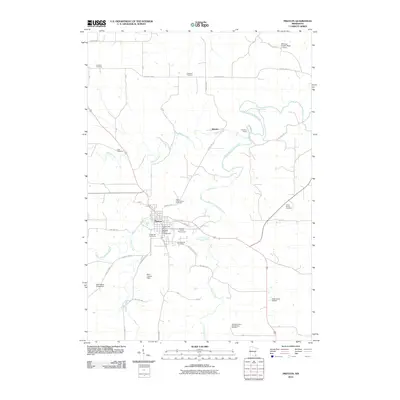
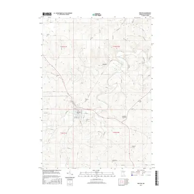
 2022 Preston2022 Print · USGSThe county seat of Preston is captured here in the early 2020s, nestled at the fork of the South Branch Root River. Trace local roots at Fillmore County Courthouse or explore the trail systems near Isinours and High Grove Airport.
 - 2022 Map of Fountain, 2022 Print
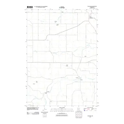
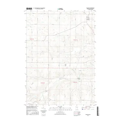
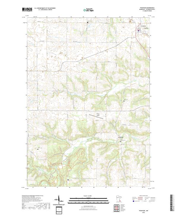 2022 Fountain2022 Print · USGSThe river valleys of Fillmore County come alive in this modern survey, capturing the rural character of the area around Fountain and Carimona. Genealogists and local historians can trace family locations through numerous sites like Winslow Cem, Duff Cem, and Pioneer Cem.
End of results
Showing maps 1-16 of 16
Top cities near Fountain
- Marion historical maps
- Preston historical maps
- Chatfield historical maps
- Harmony historical maps
- Lanesboro historical maps
- Dover historical maps
See more
Frequently asked questions
- What are the different types of historical maps available for Fountain?
- What is the oldest map of Fountain?
- Where can I purchase historical maps of Fountain for my home or office?
- Where can I download high-res historical maps of Fountain?
- Are there historical topographic maps available for Fountain?
- Is there historical aerial imagery available for Fountain?
- Where are historical maps of Fountain sourced from?