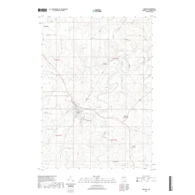
2019 Map of Preston
USGS Topo · Published 2019About this map
The South Branch Root River carves through the landscape of central Fillmore County, defining the drainage patterns around the valley town of Preston. This modern survey reveals a dense concentration of civic and memorial sites, including the Southeastern Minnesota State Veterans Cem and several older burial grounds like Crown Hill Cem and Greenwood Cem. To the northwest, the settlement of Fountain serves as a local hub near the Fountain Cem, while the hamlet of Isinours sits near the confluence of the river branches. The terrain is marked by significant hydrological features such as Watson Cr and Camp Cr, which flow through the dissected uplands toward the river. Transportation corridors like Co Hwy 8 and Minnesota Rd NW connect these rural communities, illustrating the enduring layout of this agricultural and riverine region.
Find a feature on this map
72 named features on this map. Tap any name to fly to it.
Don’t see what you’re looking for? This feature index may not catch every label — zoom into the map to look around manually.
Map Details
Editions of this 2019 Preston Map
This is the sole edition of this map. No revisions or reprints were ever made.
Other maps of this area

1954 · Chatfield
USGS Topo · 1:62,500

1954 · Lewiston
USGS Topo · 1:62,500

1954 · Mason City
USGS Topo · 1:250,000

1957 · Mason City
USGS Topo · 1:250,000

1958 · Mason City
USGS Topo · 1:250,000

1958 · La Crosse
USGS Topo · 1:250,000

1961 · La Crosse
USGS Topo · 1:250,000

1965 · La Crosse
USGS Topo · 1:250,000

1965 · Greenleafton
USGS Topo · 1:24,000

1965 · Harmony
USGS Topo · 1:24,000