2020s Maps of Hubbard County, Minnesota
Explore 30 historic maps of Hubbard County from the 2020s. These maps offer a rare glimpse into what life looked like during the 2020s — showing old roads, neighborhoods, homes, and landmarks that have changed or disappeared over time.
Whether you're researching your family's past, planning a metal detecting trip, or studying how Hubbard County's landscape evolved across the 2020s, these high-resolution maps are a powerful tool for exploring the history of this region.
- Focus on a specific era: All maps on this page are from the 2020s, giving you a focused view of this time period.
- See what’s changed: Compare century-old streets, trails, and buildings to today's modern landscape using overlays and satellite layers.
- Research with precision: Use these maps for genealogy, historical research, land use analysis, or educational projects.
- View, download, or print: Maps are fully viewable online in high resolution, and can be downloaded or printed for your own records.
Start exploring Hubbard County's history through authentic maps from the 2020s. This is your window into the past.
Hubbard County, MN maps
(30)- 2022 Map of Nevis, 2022 Print
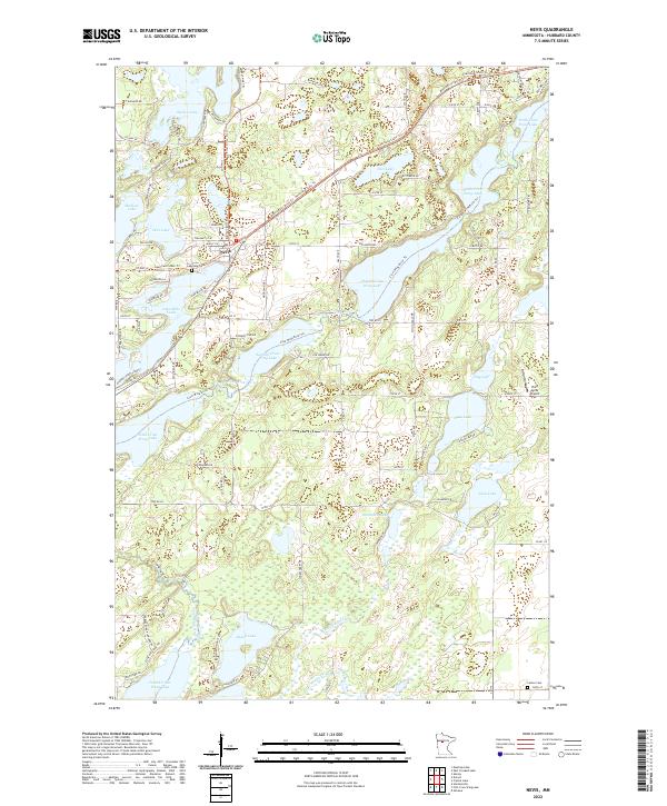 2022 Nevis2022 Print · USGSCovers Hubbard County, including Nevis, United States, and other nearby areas
 - 2022 Map of Park Rapids SW, 2022 Print
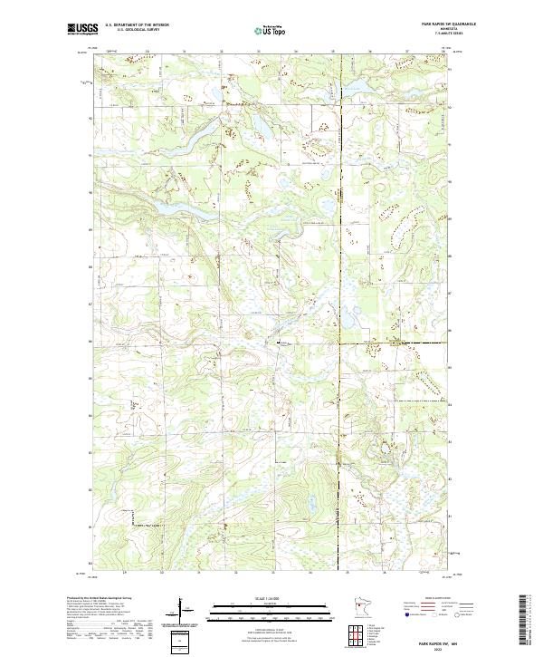 2022 Park Rapids SW2022 Print · USGSCovers Hubbard County, including Becker County, Wadena County, and other nearby areas
 - 2022 Map of Crystal Lake, 2022 Print
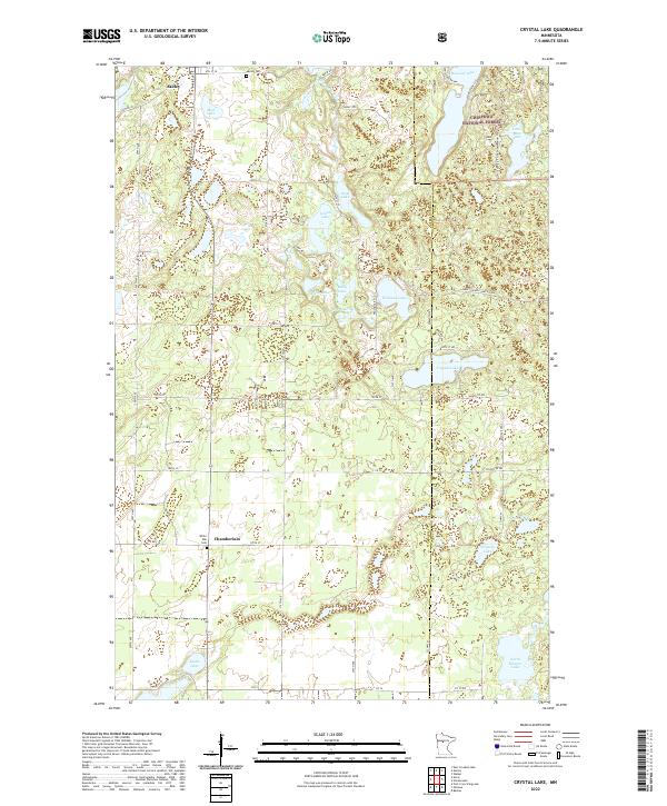 2022 Crystal Lake2022 Print · USGSCovers Hubbard County, including Akeley, Chamberlain, and other nearby areas
 - 2022 Map of Huntersville, 2022 Print
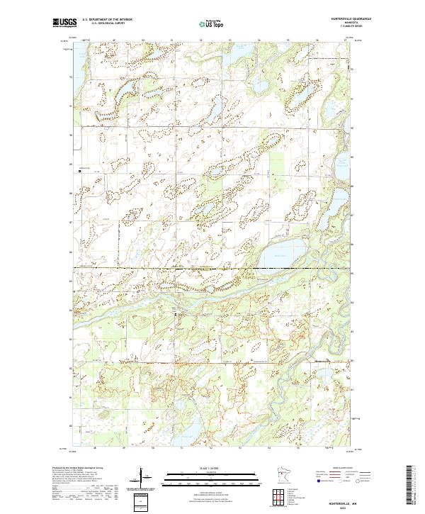 2022 Huntersville2022 Print · USGSCovers Hubbard County, including Huntersville, Wadena County, and other nearby areas
 - 2022 Map of Menahga, 2022 Print
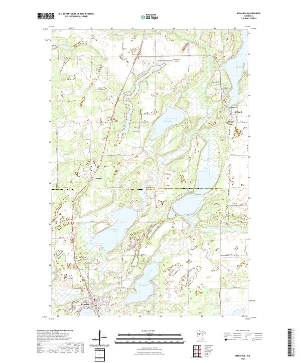 2022 Menahga2022 Print · USGSCovers Hubbard County, including Menahga, Hubbard, and other nearby areas
 - 2022 Map of Alida, 2022 Print
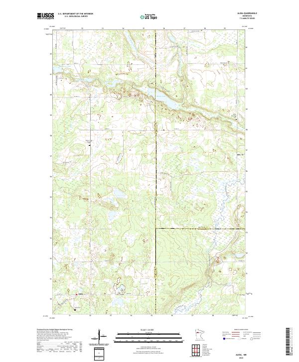 2022 Alida2022 Print · USGSCovers Hubbard County, including Alida, Beltrami County, and other nearby areas
 - 2022 Map of Grant Lake, 2022 Print
 2022 Grant Lake2022 Print · USGSCovers Hubbard County, including Wilton, Beltrami County, and other nearby areas
 - 2022 Map of Lake Hattie, 2022 Print
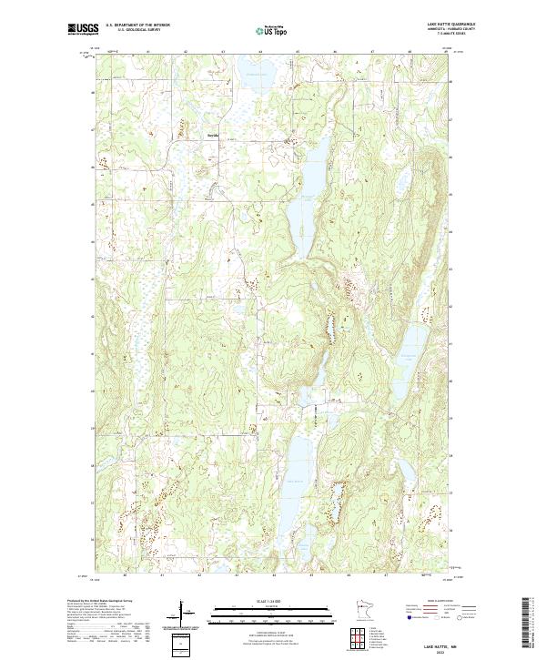 2022 Lake Hattie2022 Print · USGSCovers Hubbard County, including Becida, United States, and other nearby areas
 - 2022 Map of Oshawa, 2022 Print
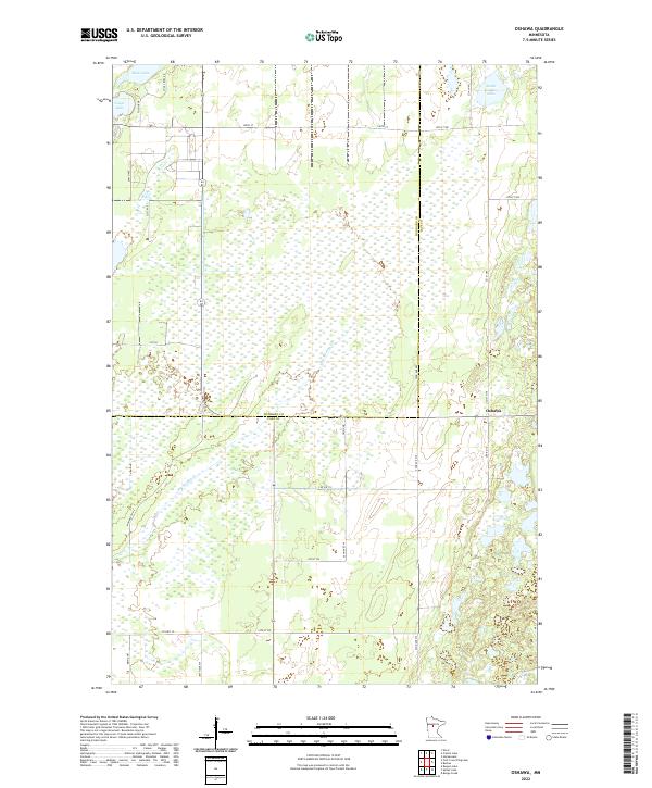 2022 Oshawa2022 Print · USGSCovers Hubbard County, including Oshawa, Cass County, and other nearby areas
 - 2022 Map of First Crow Wing Lake, 2022 Print
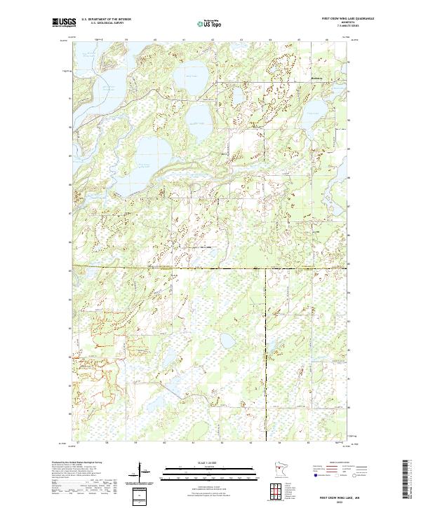 2022 First Crow Wing Lake2022 Print · USGSCovers Hubbard County, including Badoura, Cass County, and other nearby areas
 - 2022 Map of Dorset, 2022 Print
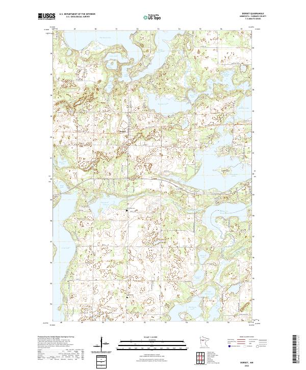 2022 Dorset2022 Print · USGSCovers Hubbard County, including Dorset, United States, and other nearby areas
 - 2022 Map of Park Rapids, 2022 Print
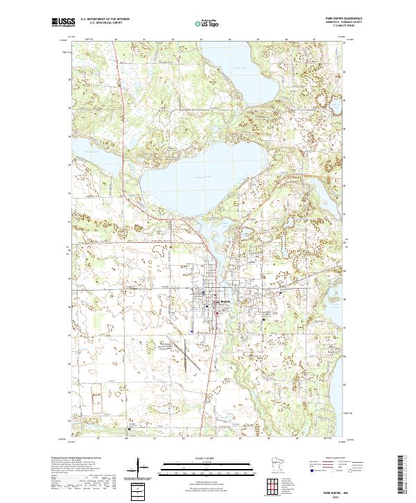 2022 Park Rapids2022 Print · USGSCovers Hubbard County, including Park Rapids, Park Estates, and other nearby areas
 - 2022 Map of Park Rapids NW, 2022 Print
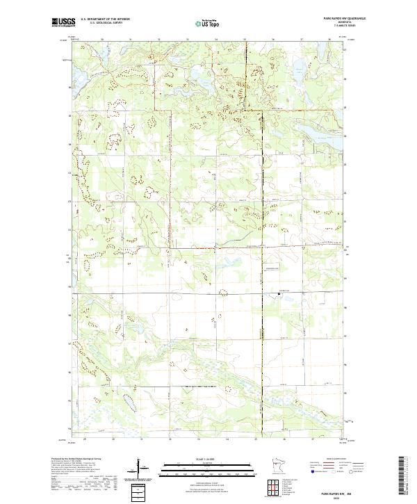 2022 Park Rapids NW2022 Print · USGSCovers Hubbard County, including Becker County, United States, and other nearby areas
 - 2022 Map of Mantrap Lake, 2022 Print
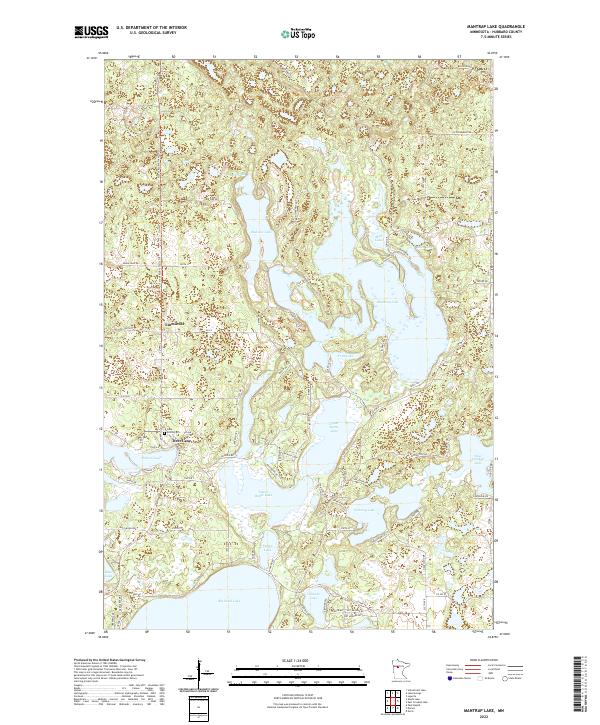 2022 Mantrap Lake2022 Print · USGSCovers Hubbard County, including Deer Lane, Emmaville, and other nearby areas
 - 2022 Map of East Crooked Lake, 2022 Print
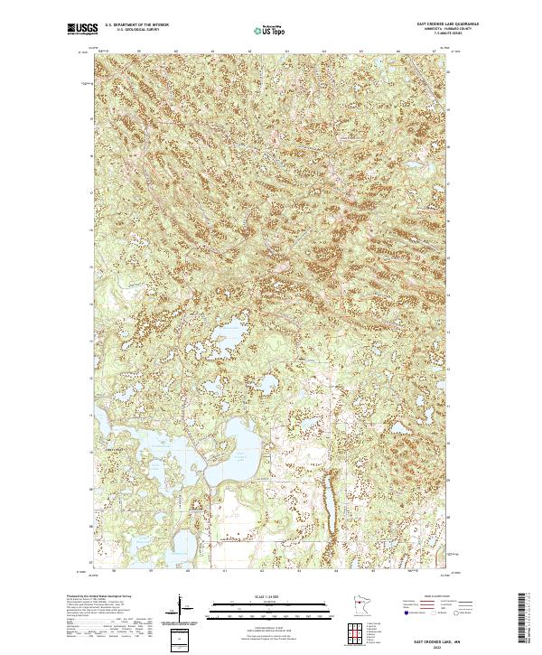 2022 East Crooked Lake2022 Print · USGSCovers Hubbard County, including United States, Minnesota, and other nearby areas
 - 2022 Map of Andrusia Lake, 2022 Print
 2022 Andrusia Lake2022 Print · USGSCovers Hubbard County, including Andrusia, Farris, and other nearby areas
 - 2022 Map of Guthrie, 2022 Print
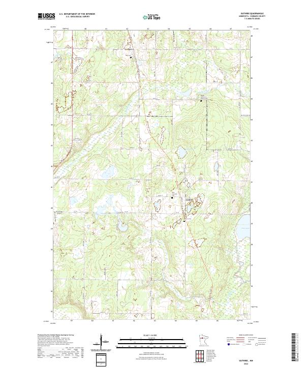 2022 Guthrie2022 Print · USGSCovers Hubbard County, including Guthrie, Nary, and other nearby areas
 - 2022 Map of Bemidji East, 2022 Print
 2022 Bemidji East2022 Print · USGSCovers Hubbard County, including Bemidji, Norway Park, and other nearby areas
 - 2022 Map of Skunk Lake, 2022 Print
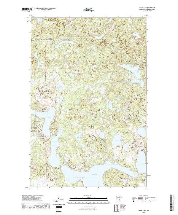 2022 Skunk Lake2022 Print · USGSCovers Hubbard County, including United States, Minnesota, and other nearby areas
 - 2022 Map of Two Inlets, 2022 Print
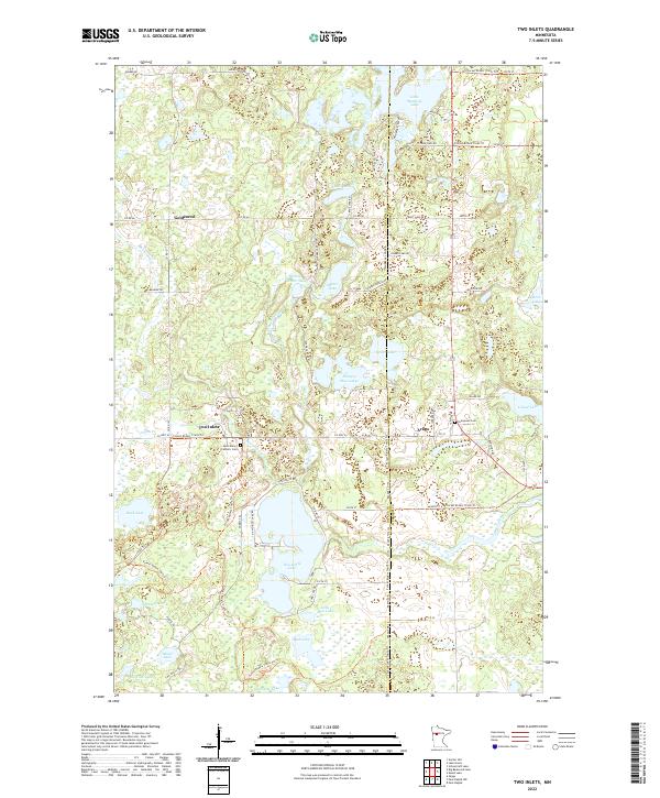 2022 Two Inlets2022 Print · USGSCovers Hubbard County, including Arago, Two Inlets, and other nearby areas
 - 2022 Map of La Salle Lake, 2022 Print
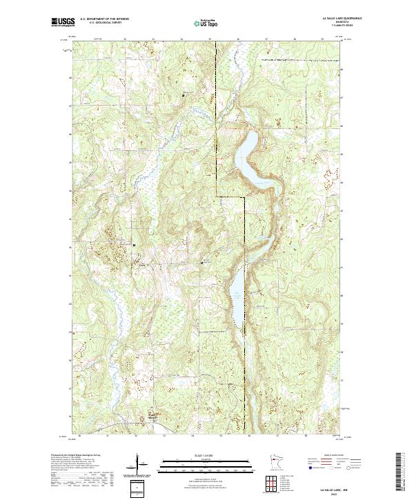 2022 La Salle Lake2022 Print · USGSCovers Hubbard County, including Lake Itasca, Vern, and other nearby areas
 - 2022 Map of Schoolcraft Lake, 2022 Print
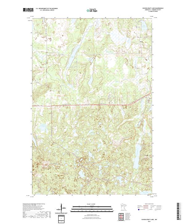 2022 Schoolcraft Lake2022 Print · USGSCovers Hubbard County, including Yola, United States, and other nearby areas
 - 2022 Map of Lake Itasca, 2022 Print
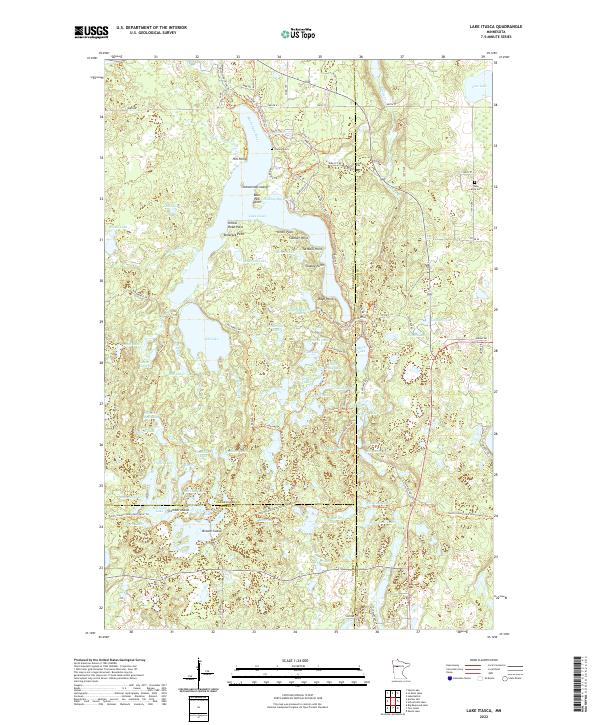 2022 Lake Itasca2022 Print · USGSCovers Hubbard County, including Becker County, Clearwater County, and other nearby areas
 - 2022 Map of Laporte, 2022 Print
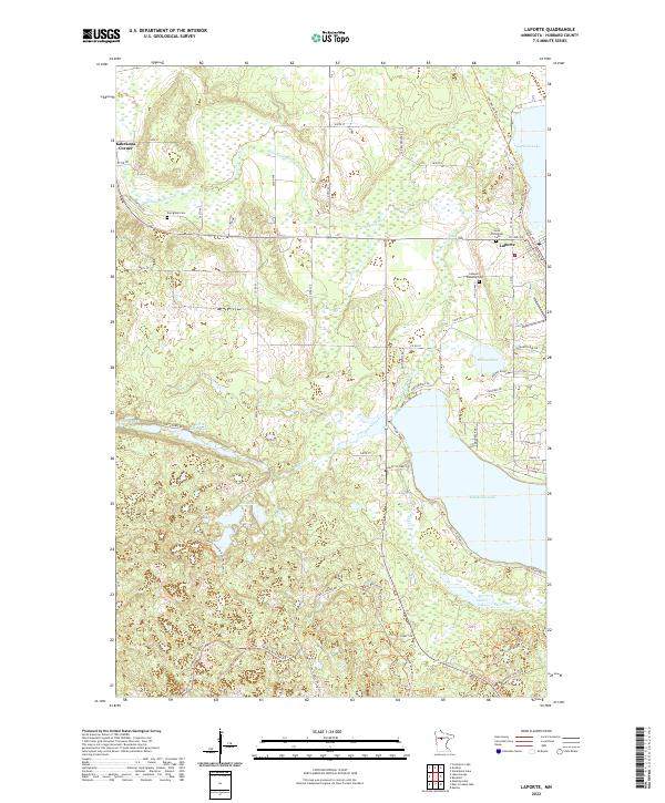 2022 Laporte2022 Print · USGSCovers Hubbard County, including Laporte, United States, and other nearby areas
 - 2022 Map of Steamboat Lake, 2022 Print
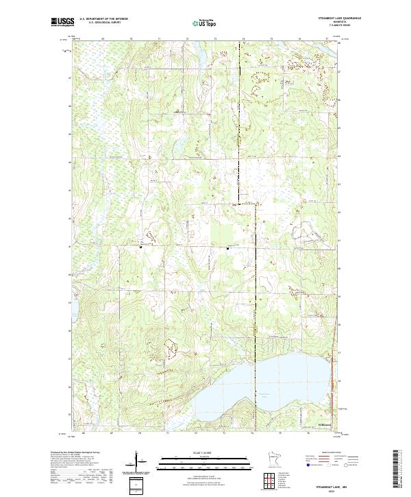 2022 Steamboat Lake2022 Print · USGSCovers Hubbard County, including Wilkinson, Cass County, and other nearby areas
Showing maps 1-25 of 30
Top cities of Hubbard County
- Park Rapids historical maps
- Arago historical maps
- Guthrie historical maps
- Akeley historical maps
- Nevis historical maps
- Lake George historical maps
See more
Frequently asked questions
- What are the different types of historical maps available for Hubbard County?
- What is the oldest map of Hubbard County?
- Where can I purchase historical maps of Hubbard County for my home or office?
- Where can I download high-res historical maps of Hubbard County?
- Are there historical topographic maps available for Hubbard County?
- Is there historical aerial imagery available for Hubbard County?
- Where are historical maps of Hubbard County sourced from?