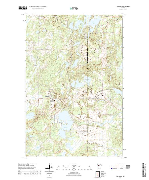
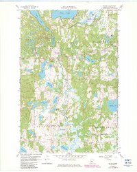
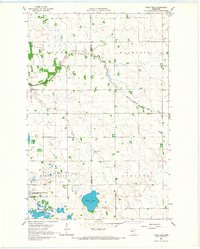
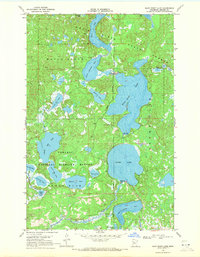
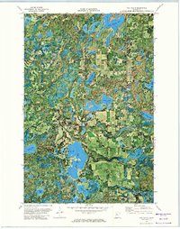
2022 Map of Two Inlets
USGS Topo · Published 2022This historical map portrays the area of Two Inlets in 2022, primarily covering Becker County as well as portions of Hubbard County. Featuring a scale of 1:24000, this map provides a highly detailed snapshot of the terrain, roads, buildings, counties, and historical landmarks in the Two Inlets region at the time. Published in 2022, it is the sole known edition of this map.
Map Details
Editions of this 2022 Two Inlets Map
This is the sole edition of this map. No revisions or reprints were ever made.
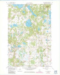
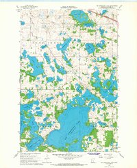
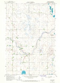
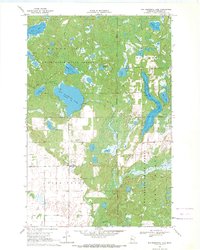
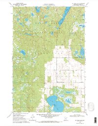
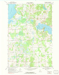
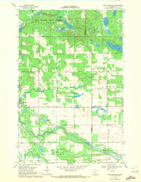
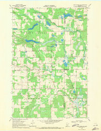
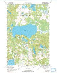
Historical Maps of Hubbard County Through Time
35 maps found

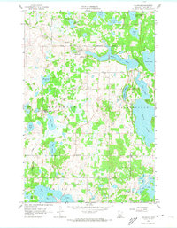
1918 Flom
Becker County, MN
1959 Flat Lake
Becker County, MN
1959 Height Of Land Lake
Becker County, MN
1959 Richwood
Becker County, MN
1959 Rochert
Becker County, MN
1959 Toad Mountain
Becker County, MN
1966 Big Cormorant Lake
Becker County, MN
1966 Flom SE
Becker County, MN
1966 Tilde Lake
Becker County, MN
1969 Big Basswood Lake
Becker County, MN
1969 Big Rush Lake
Becker County, MN
1969 Evergreen
Becker County, MN
1969 Many Point Lake
Becker County, MN
1969 Park Rapids NW
Becker County, MN
1969 Park Rapids SW
Becker County, MN
1969 Ponsford
Becker County, MN
1969 Strawberry Lake
Becker County, MN
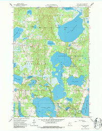
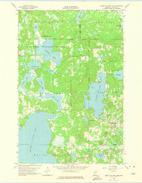
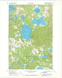
1972 Two Inlets
Becker County, MN
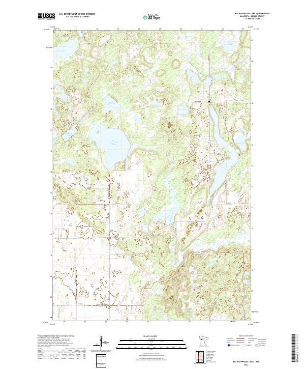
2022 Big Basswood Lake
Becker County, MN
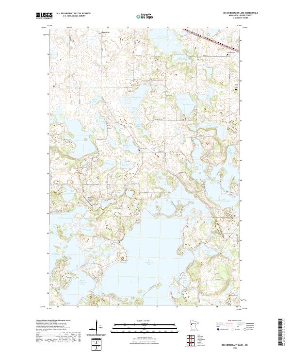
2022 Big Cormorant Lake
Becker County, MN
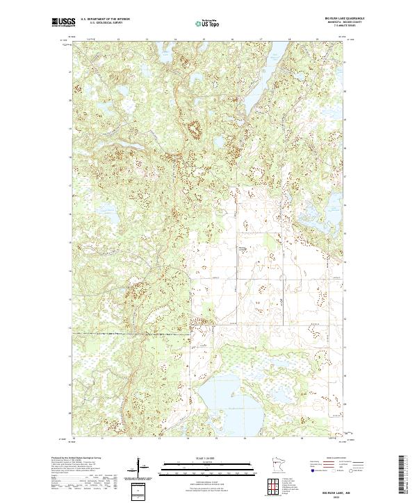
2022 Big Rush Lake
Becker County, MN
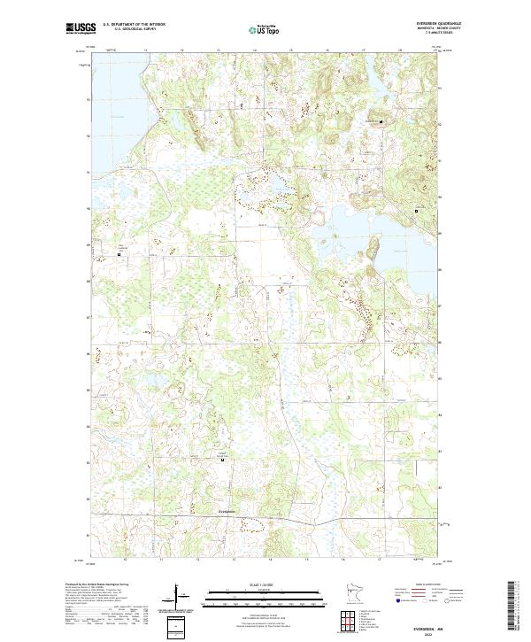
2022 Evergreen
Becker County, MN
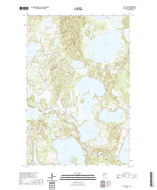
2022 Flat Lake
Becker County, MN
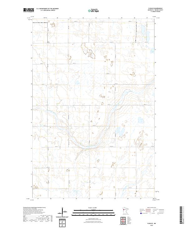
2022 Flom SE
Becker County, MN
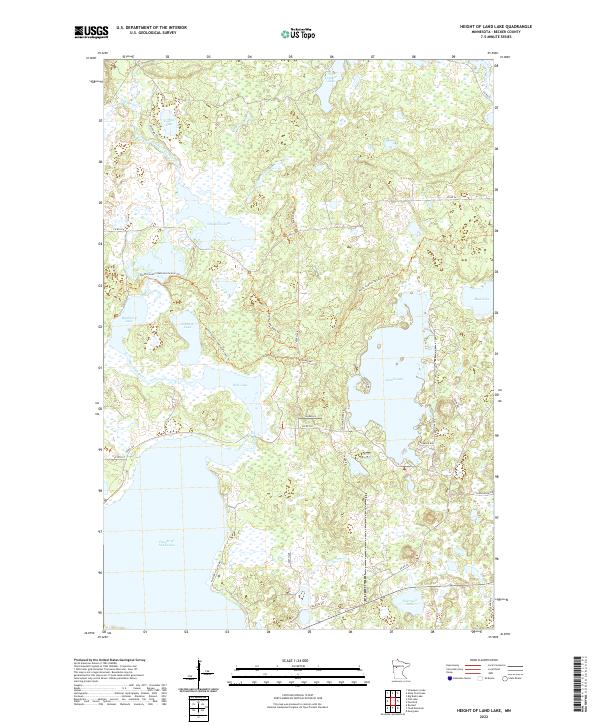
2022 Height of Land Lake
Becker County, MN
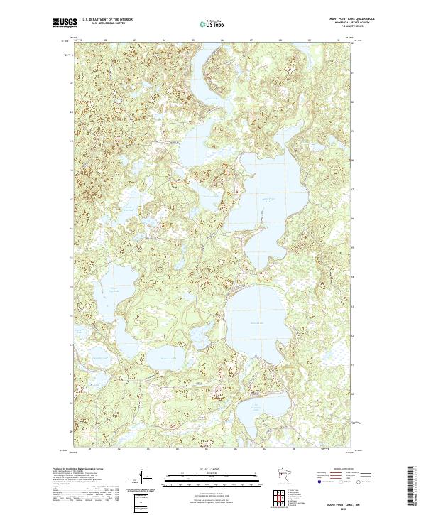
2022 Many Point Lake
Becker County, MN
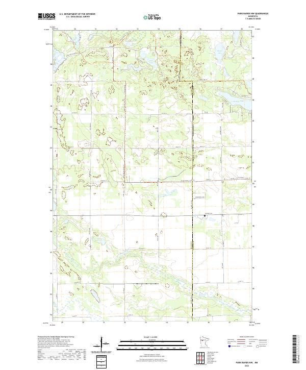
2022 Park Rapids NW
Becker County, MN
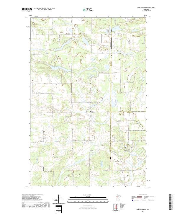
2022 Park Rapids SW
Becker County, MN
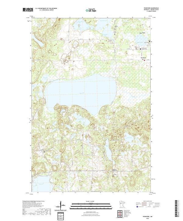
2022 Ponsford
Becker County, MN
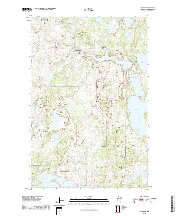
2022 Richwood
Becker County, MN
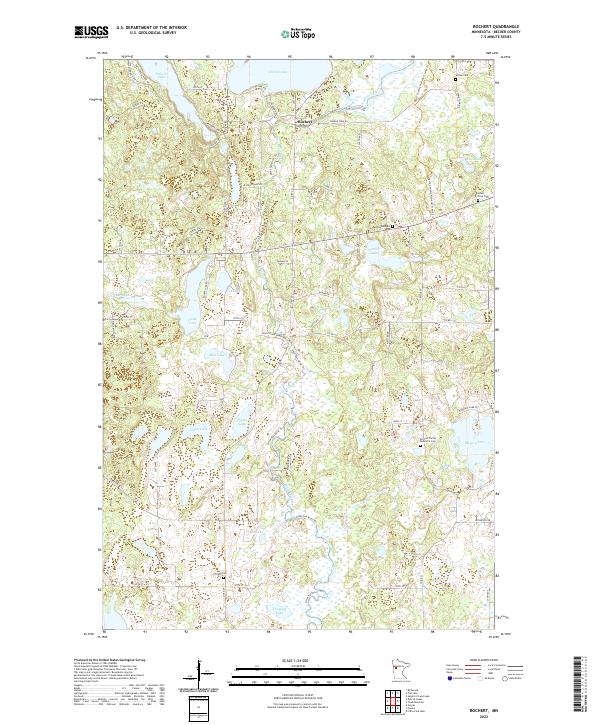
2022 Rochert
Becker County, MN
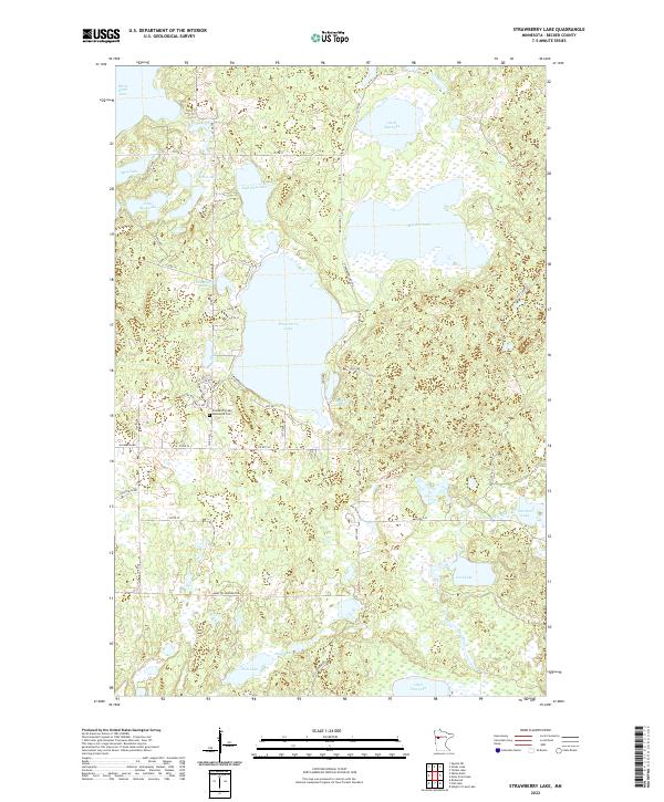
2022 Strawberry Lake
Becker County, MN
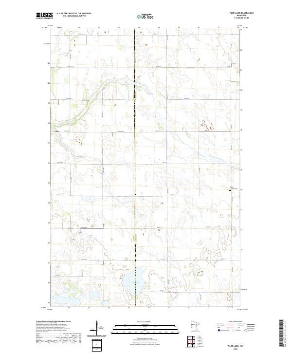
2022 Tilde Lake
Becker County, MN
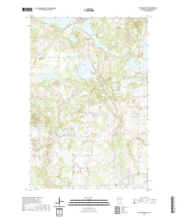
2022 Toad Mountain
Becker County, MN
2022 Two Inlets
Becker County, MN