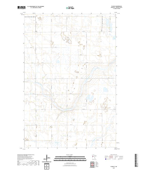
2022 Map of Flom SE
USGS Topo · Published 2022About this map
The S Br Wild Rice River meanders across the central landscape of Becker County, defining a region where glacial topography and modern agriculture intersect. In the north, Lemon Lake sits near the junction of Co Rd 107 and Co Rd 18, while the southern reaches of the quadrangle are marked by the headwaters of the Buffalo River. The map reveals a highly structured rural grid, with gravel roads and section lines such as 140th Ave and 300th St carving through a terrain peppered with small wetlands and basins like Balke Lake. This network of county and local roads, including Mn Main 150, reflects a deeply established farming community organized around the natural drainage patterns of the Wild Rice and Buffalo river systems.
Find a feature on this map
23 named features on this map. Tap any name to fly to it.
Don’t see what you’re looking for? This feature index may not catch every label — zoom into the map to look around manually.
Map Details
Editions of this 2022 Flom SE Map
This is the sole edition of this map. No revisions or reprints were ever made.
Other maps of this area

1918 · Flom
USGS Topo · 1:62,500

1952 · Grand Forks
USGS Topo · 1:250,000

1953 · Fargo
USGS Topo · 1:250,000

1953 · Brainerd
USGS Topo · 1:250,000

1954 · Bemidji
USGS Topo · 1:250,000

1956 · Fargo
USGS Topo · 1:250,000

1956 · Grand Forks
USGS Topo · 1:250,000

1957 · Brainerd
USGS Topo · 1:250,000

1957 · Bemidji
USGS Topo · 1:250,000

1958 · Bemidji
USGS Topo · 1:250,000