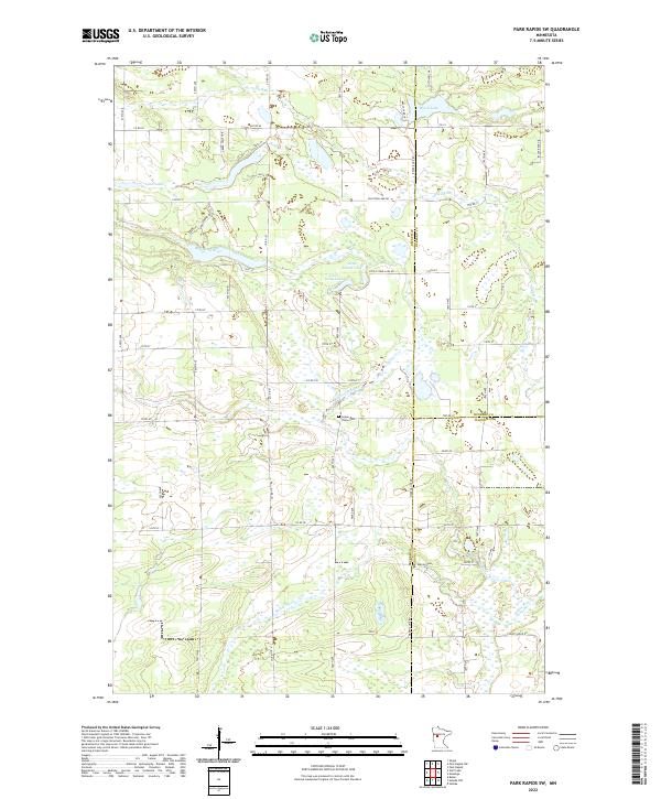
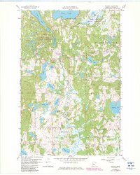
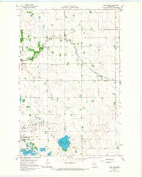
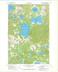
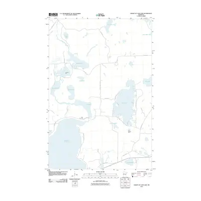
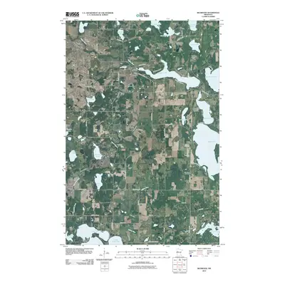
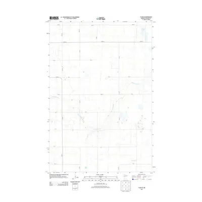
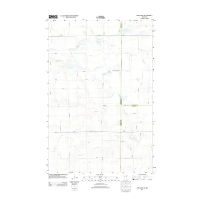
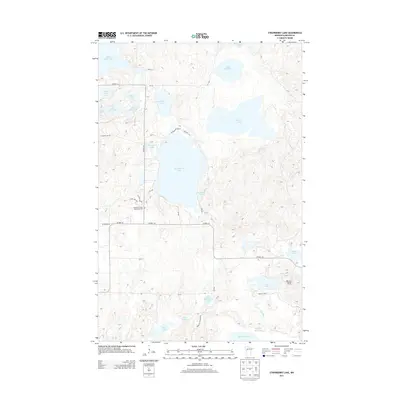
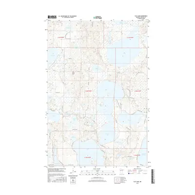
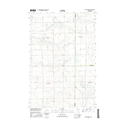
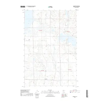
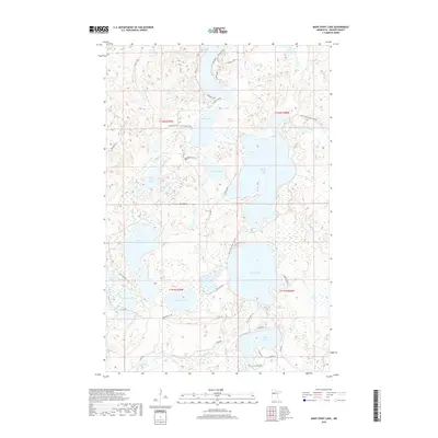
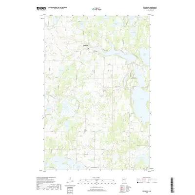
2022 Map of Park Rapids SW
USGS Topo · Published 2022About this map
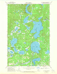
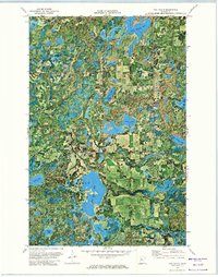
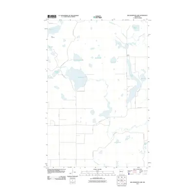
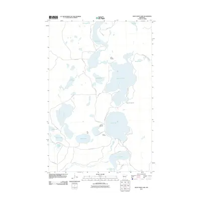
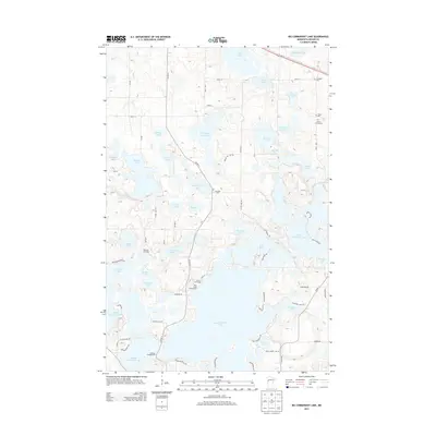
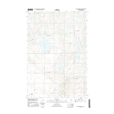
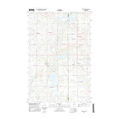
Shell River and its surrounding wetlands dominate this landscape where the borders of Becker, Hubbard, and Wadena counties converge. The hydrology of the region is intricate, defined by the winding courses of the Blueberry River and Kettle River as they thread through a mosaic of glacial lakes and marshy depressions. Small, named water bodies like Little Round Lake and Little Long Lake are characteristic of this terrain, tucked between sections of the Public Land Survey System grid. Rural life and local history are anchored by small landmarks such as Green Valley Cem near the junction of 165th St and 580th Ave, and Alajoki Cem further south. The map reflects a quiet, dispersed settlement pattern typical of north-central Minnesota, where gravel roads and township lines provide the primary structure for movement across the well-watered timber and agricultural lands.
Find a feature on this map
61 named features on this map. Tap any name to fly to it.
Don’t see what you’re looking for? This feature index may not catch every label — zoom into the map to look around manually.
Map Details
Editions of this 2022 Park Rapids SW Map
This is the sole edition of this map. No revisions or reprints were ever made.
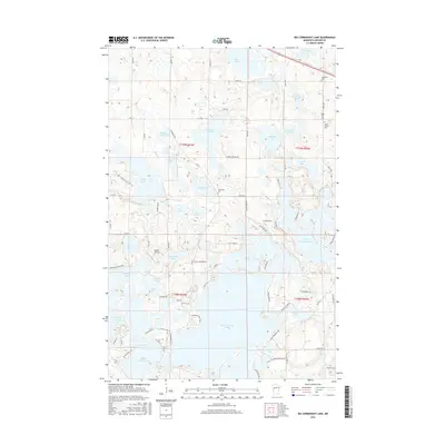
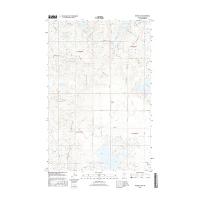
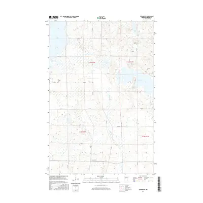
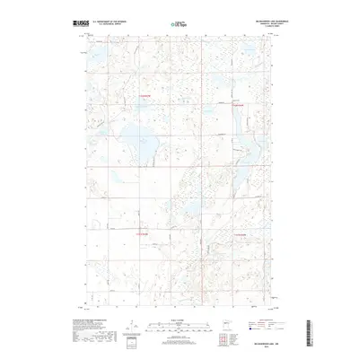
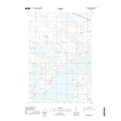
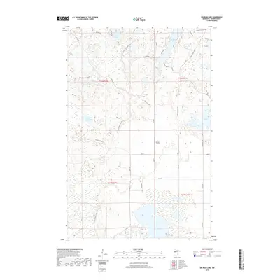
Historical Maps of Becker County Through Time
103 maps found

1918 Flom
Becker County, MN
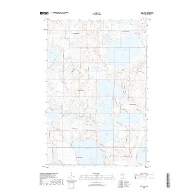
1959 Flat Lake
Becker County, MN
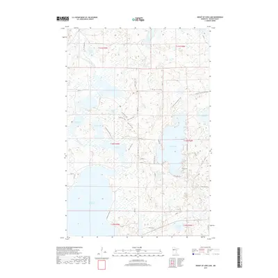
1959 Height Of Land Lake
Becker County, MN
1959 Richwood
Becker County, MN
1959 Rochert
Becker County, MN
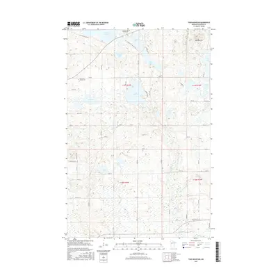
1959 Toad Mountain
Becker County, MN
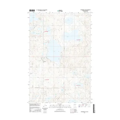
1966 Big Cormorant Lake
Becker County, MN
1966 Flom SE
Becker County, MN
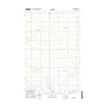
1966 Tilde Lake
Becker County, MN
1969 Big Basswood Lake
Becker County, MN
1969 Big Rush Lake
Becker County, MN
1969 Evergreen
Becker County, MN
1969 Many Point Lake
Becker County, MN
1969 Park Rapids NW
Becker County, MN
1969 Park Rapids SW
Becker County, MN
1969 Ponsford
Becker County, MN
1969 Strawberry Lake
Becker County, MN
1972 Two Inlets
Becker County, MN
2010 Big Cormorant Lake
Becker County, MN
2010 Evergreen
Becker County, MN
2010 Height of Land Lake
Becker County, MN
2010 Park Rapids NW
Becker County, MN
2010 Park Rapids SW
Becker County, MN
2010 Ponsford
Becker County, MN
2010 Richwood
Becker County, MN
2010 Rochert
Becker County, MN
2010 Toad Mountain
Becker County, MN
2010 Two Inlets
Becker County, MN
2011 Big Basswood Lake
Becker County, MN
2011 Big Rush Lake
Becker County, MN
2011 Flat Lake
Becker County, MN
2011 Flom SE
Becker County, MN
2011 Many Point Lake
Becker County, MN
2011 Strawberry Lake
Becker County, MN
2011 Tilde Lake
Becker County, MN
2013 Big Basswood Lake
Becker County, MN
2013 Big Cormorant Lake
Becker County, MN
2013 Big Rush Lake
Becker County, MN
2013 Evergreen
Becker County, MN
2013 Flat Lake
Becker County, MN
2013 Flom SE
Becker County, MN
2013 Height of Land Lake
Becker County, MN
2013 Many Point Lake
Becker County, MN
2013 Park Rapids NW
Becker County, MN
2013 Park Rapids SW
Becker County, MN
2013 Ponsford
Becker County, MN
2013 Richwood
Becker County, MN
2013 Rochert
Becker County, MN
2013 Strawberry Lake
Becker County, MN
2013 Tilde Lake
Becker County, MN
2013 Toad Mountain
Becker County, MN
2013 Two Inlets
Becker County, MN
2016 Big Basswood Lake
Becker County, MN
2016 Big Cormorant Lake
Becker County, MN
2016 Big Rush Lake
Becker County, MN
2016 Evergreen
Becker County, MN
2016 Flat Lake
Becker County, MN
2016 Flom SE
Becker County, MN
2016 Height of Land Lake
Becker County, MN
2016 Many Point Lake
Becker County, MN
2016 Park Rapids NW
Becker County, MN
2016 Park Rapids SW
Becker County, MN
2016 Ponsford
Becker County, MN
2016 Richwood
Becker County, MN
2016 Rochert
Becker County, MN
2016 Strawberry Lake
Becker County, MN
2016 Tilde Lake
Becker County, MN
2016 Toad Mountain
Becker County, MN
2016 Two Inlets
Becker County, MN
2019 Big Basswood Lake
Becker County, MN
2019 Big Cormorant Lake
Becker County, MN
2019 Big Rush Lake
Becker County, MN
2019 Evergreen
Becker County, MN
2019 Flat Lake
Becker County, MN
2019 Flom SE
Becker County, MN
2019 Height of Land Lake
Becker County, MN
2019 Many Point Lake
Becker County, MN
2019 Park Rapids NW
Becker County, MN
2019 Park Rapids SW
Becker County, MN
2019 Ponsford
Becker County, MN
2019 Richwood
Becker County, MN
2019 Rochert
Becker County, MN
2019 Strawberry Lake
Becker County, MN
2019 Tilde Lake
Becker County, MN
2019 Toad Mountain
Becker County, MN
2019 Two Inlets
Becker County, MN
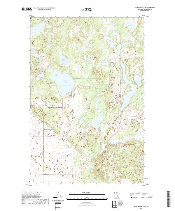
2022 Big Basswood Lake
Becker County, MN
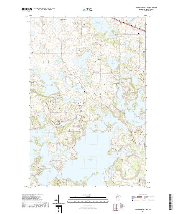
2022 Big Cormorant Lake
Becker County, MN
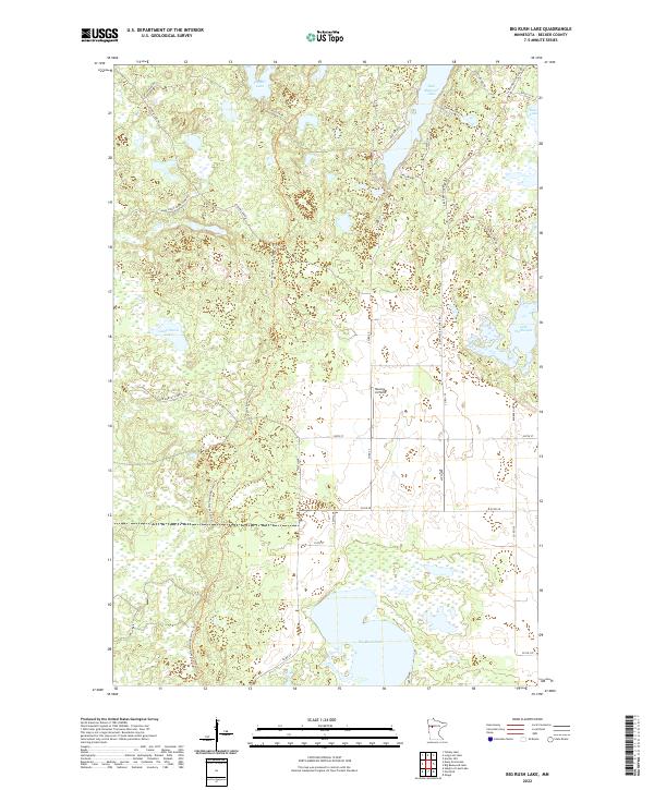
2022 Big Rush Lake
Becker County, MN
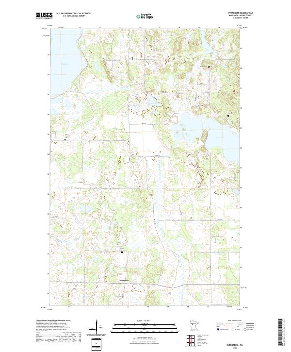
2022 Evergreen
Becker County, MN
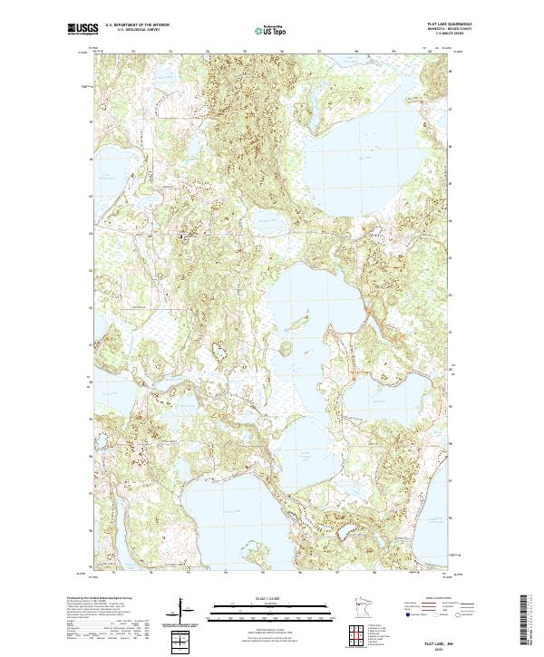
2022 Flat Lake
Becker County, MN
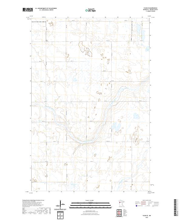
2022 Flom SE
Becker County, MN
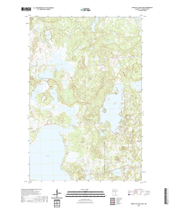
2022 Height of Land Lake
Becker County, MN
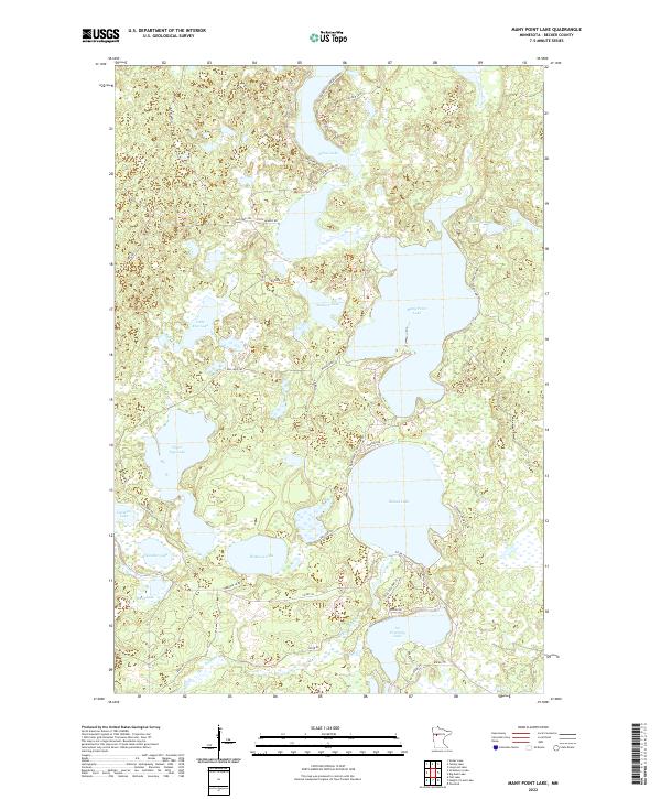
2022 Many Point Lake
Becker County, MN
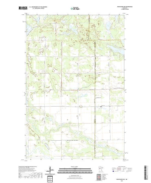
2022 Park Rapids NW
Becker County, MN
2022 Park Rapids SW
Becker County, MN
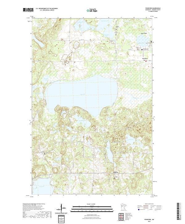
2022 Ponsford
Becker County, MN
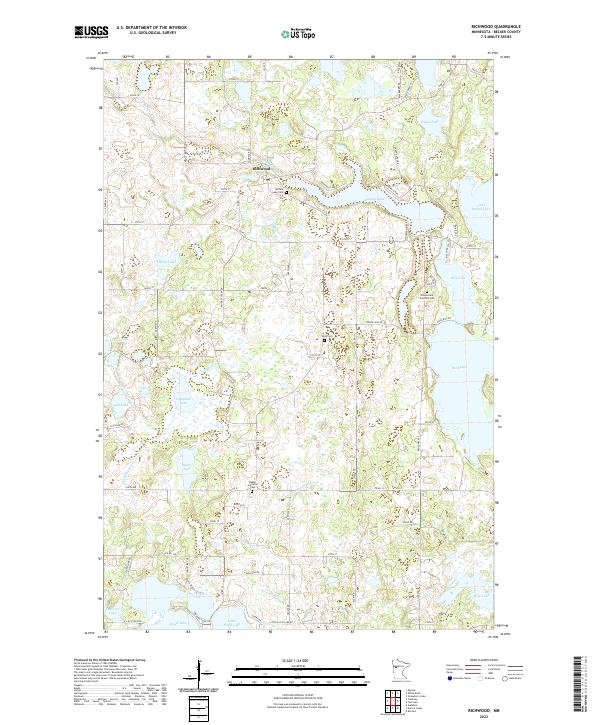
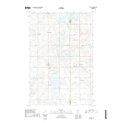
2022 Richwood
Becker County, MN
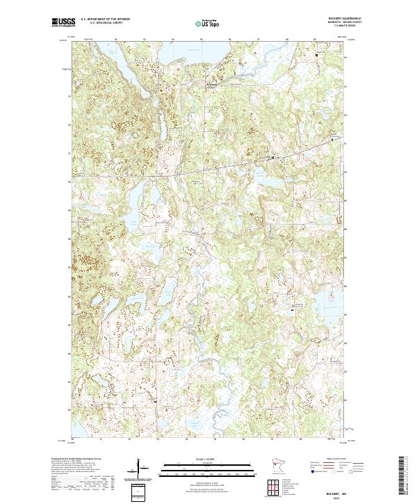
2022 Rochert
Becker County, MN
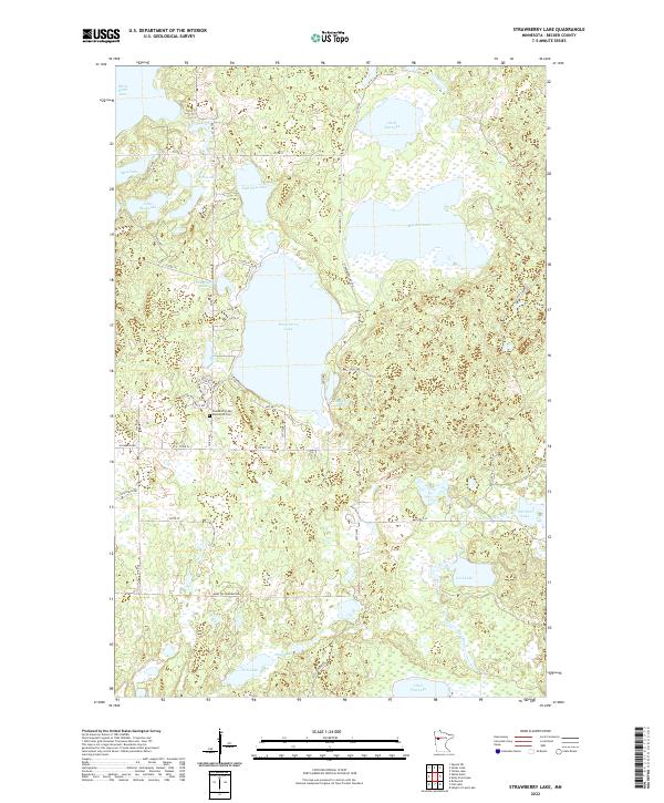
2022 Strawberry Lake
Becker County, MN
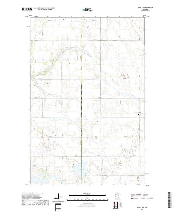
2022 Tilde Lake
Becker County, MN
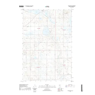
2022 Toad Mountain
Becker County, MN
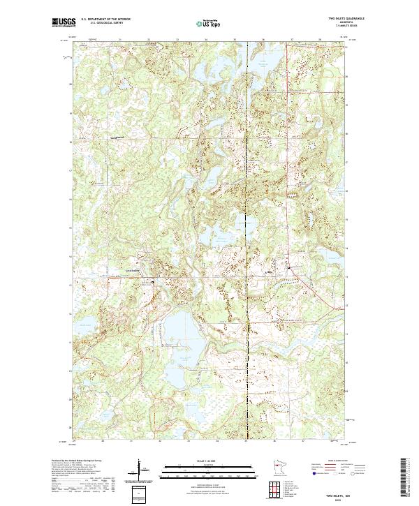
2022 Two Inlets
Becker County, MN