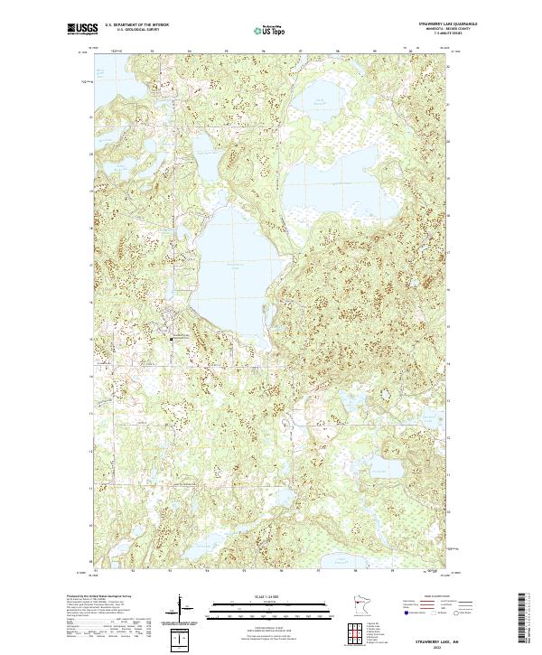
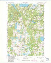
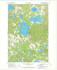
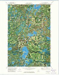
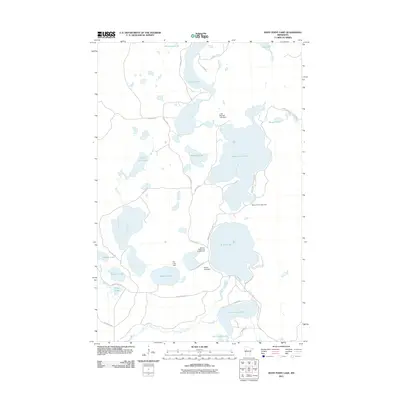
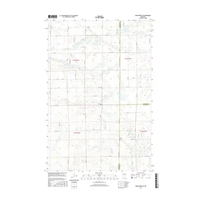
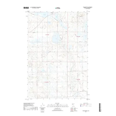
2022 Map of Strawberry Lake
USGS Topo · Published 2022About this map
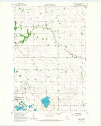
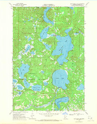
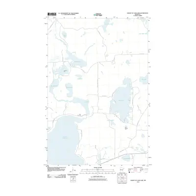
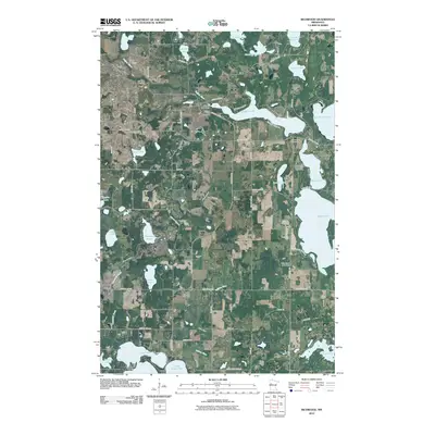
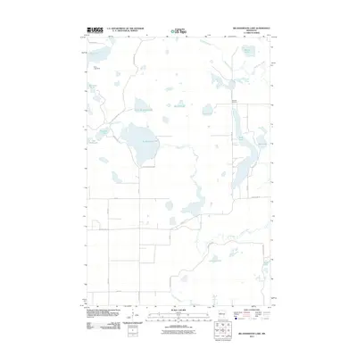
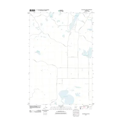
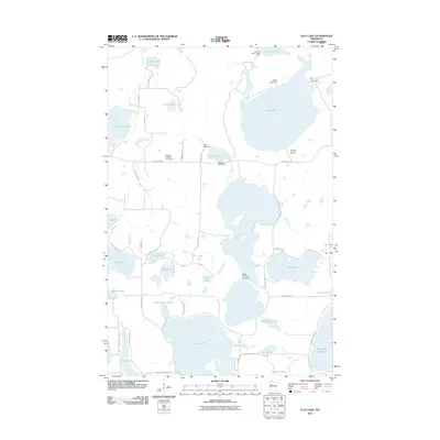
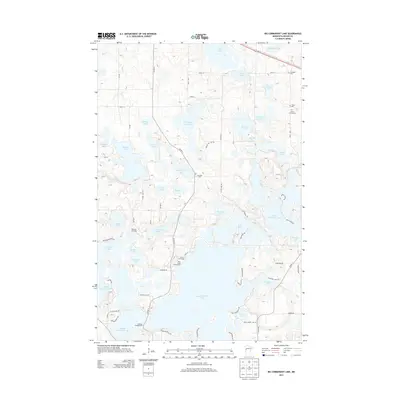
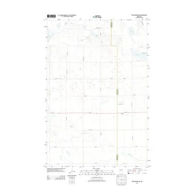
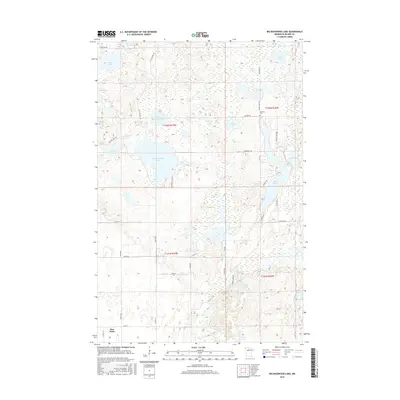
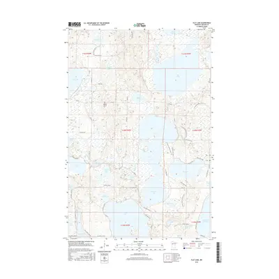
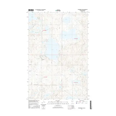
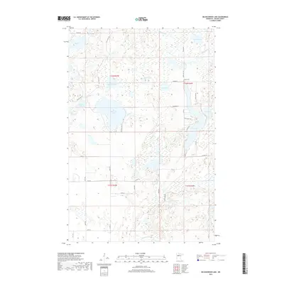
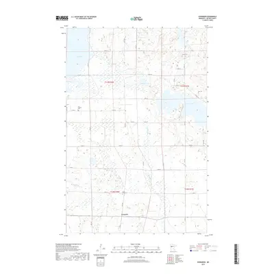
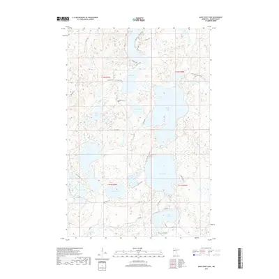
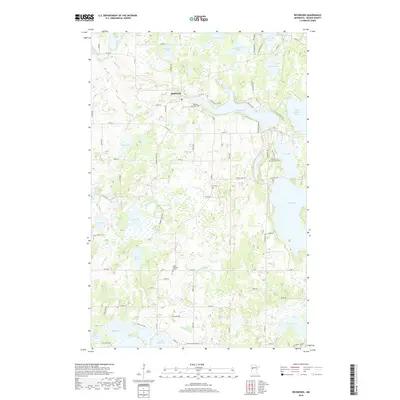
Strawberry Lake and its surrounding wetlands define this portion of Becker County, characterized by a complex network of glacial water bodies and glacial till. This modern survey illustrates a landscape primarily shaped by the hydrology of the Egg River drainage, which connects smaller basins like Carman Lake and Lost Lake. The map reveals a mix of public and tribal land management, evidenced by routes such as BIA Rd 141 and Mary Yellowhead Rd. Cultural history is anchored by the Strawberry Lake Mennonite Cemetery near the lake’s southern shore, while the surrounding road network, including Resin Hwy 23 and Yellow Head Trl, provides access to the numerous points and bays of Big Rat Lake and Little Rat Lake. The terrain is a labyrinth of small hills and depressions, with local landmarks like Chokecherry Lake and Pickle Lake dotting the wooded areas between larger basins.
Find a feature on this map
50 named features on this map. Tap any name to fly to it.
Don’t see what you’re looking for? This feature index may not catch every label — zoom into the map to look around manually.
Map Details
Editions of this 2022 Strawberry Lake Map
This is the sole edition of this map. No revisions or reprints were ever made.
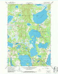
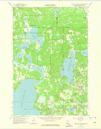
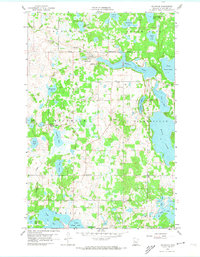
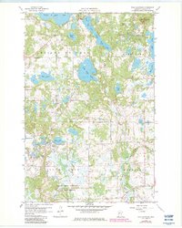
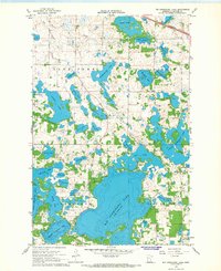
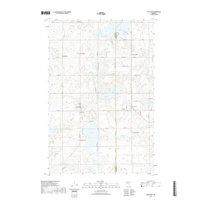
Historical Maps of Becker County Through Time
103 maps found

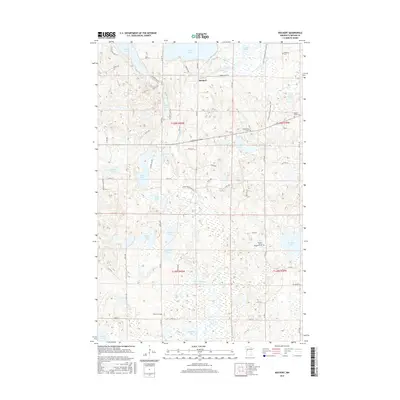
1918 Flom
Becker County, MN
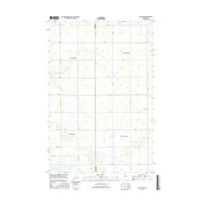
1959 Flat Lake
Becker County, MN
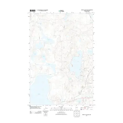
1959 Height Of Land Lake
Becker County, MN
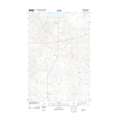
1959 Richwood
Becker County, MN
1959 Rochert
Becker County, MN
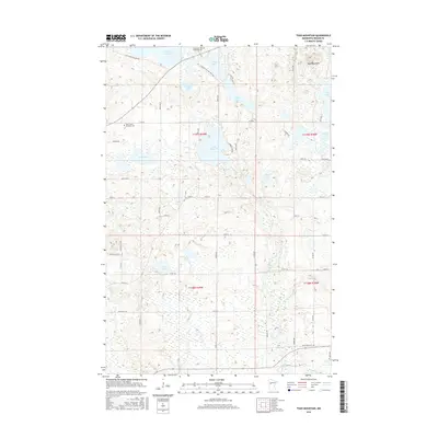
1959 Toad Mountain
Becker County, MN
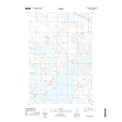
1966 Big Cormorant Lake
Becker County, MN
1966 Flom SE
Becker County, MN
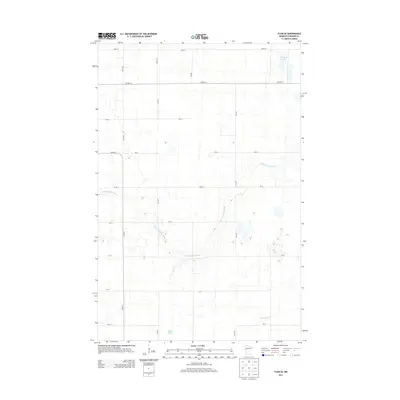
1966 Tilde Lake
Becker County, MN
1969 Big Basswood Lake
Becker County, MN
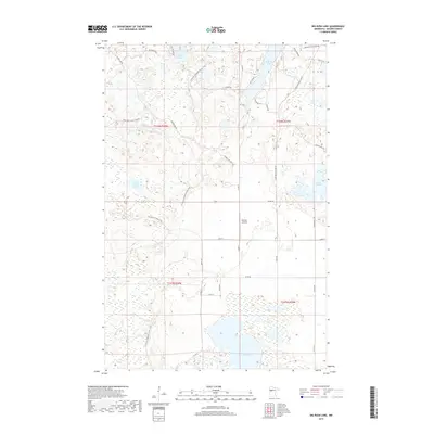
1969 Big Rush Lake
Becker County, MN
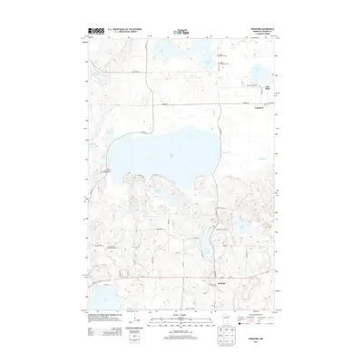
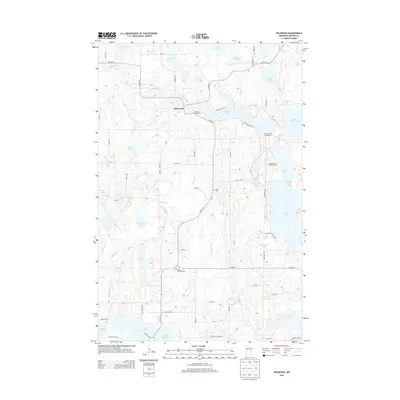
1969 Evergreen
Becker County, MN
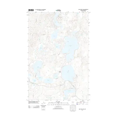
1969 Many Point Lake
Becker County, MN
1969 Park Rapids NW
Becker County, MN
1969 Park Rapids SW
Becker County, MN
1969 Ponsford
Becker County, MN
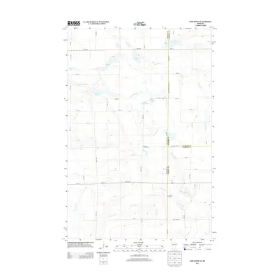
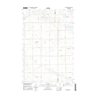
1969 Strawberry Lake
Becker County, MN
1972 Two Inlets
Becker County, MN
2010 Big Cormorant Lake
Becker County, MN
2010 Evergreen
Becker County, MN
2010 Height of Land Lake
Becker County, MN
2010 Park Rapids NW
Becker County, MN
2010 Park Rapids SW
Becker County, MN
2010 Ponsford
Becker County, MN
2010 Richwood
Becker County, MN
2010 Rochert
Becker County, MN
2010 Toad Mountain
Becker County, MN
2010 Two Inlets
Becker County, MN
2011 Big Basswood Lake
Becker County, MN
2011 Big Rush Lake
Becker County, MN
2011 Flat Lake
Becker County, MN
2011 Flom SE
Becker County, MN
2011 Many Point Lake
Becker County, MN
2011 Strawberry Lake
Becker County, MN
2011 Tilde Lake
Becker County, MN
2013 Big Basswood Lake
Becker County, MN
2013 Big Cormorant Lake
Becker County, MN
2013 Big Rush Lake
Becker County, MN
2013 Evergreen
Becker County, MN
2013 Flat Lake
Becker County, MN
2013 Flom SE
Becker County, MN
2013 Height of Land Lake
Becker County, MN
2013 Many Point Lake
Becker County, MN
2013 Park Rapids NW
Becker County, MN
2013 Park Rapids SW
Becker County, MN
2013 Ponsford
Becker County, MN
2013 Richwood
Becker County, MN
2013 Rochert
Becker County, MN
2013 Strawberry Lake
Becker County, MN
2013 Tilde Lake
Becker County, MN
2013 Toad Mountain
Becker County, MN
2013 Two Inlets
Becker County, MN
2016 Big Basswood Lake
Becker County, MN
2016 Big Cormorant Lake
Becker County, MN
2016 Big Rush Lake
Becker County, MN
2016 Evergreen
Becker County, MN
2016 Flat Lake
Becker County, MN
2016 Flom SE
Becker County, MN
2016 Height of Land Lake
Becker County, MN
2016 Many Point Lake
Becker County, MN
2016 Park Rapids NW
Becker County, MN
2016 Park Rapids SW
Becker County, MN
2016 Ponsford
Becker County, MN
2016 Richwood
Becker County, MN
2016 Rochert
Becker County, MN
2016 Strawberry Lake
Becker County, MN
2016 Tilde Lake
Becker County, MN
2016 Toad Mountain
Becker County, MN
2016 Two Inlets
Becker County, MN
2019 Big Basswood Lake
Becker County, MN
2019 Big Cormorant Lake
Becker County, MN
2019 Big Rush Lake
Becker County, MN
2019 Evergreen
Becker County, MN
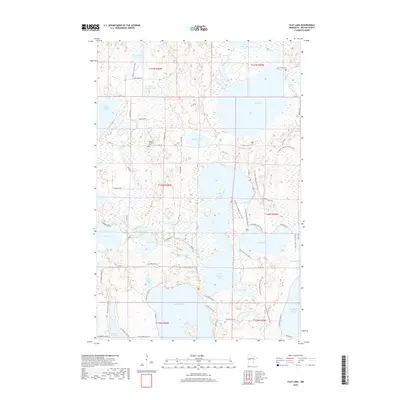
2019 Flat Lake
Becker County, MN
2019 Flom SE
Becker County, MN
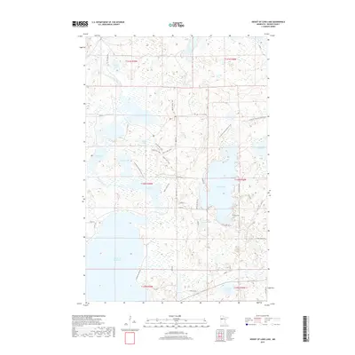
2019 Height of Land Lake
Becker County, MN
2019 Many Point Lake
Becker County, MN
2019 Park Rapids NW
Becker County, MN
2019 Park Rapids SW
Becker County, MN
2019 Ponsford
Becker County, MN
2019 Richwood
Becker County, MN
2019 Rochert
Becker County, MN
2019 Strawberry Lake
Becker County, MN
2019 Tilde Lake
Becker County, MN
2019 Toad Mountain
Becker County, MN
2019 Two Inlets
Becker County, MN
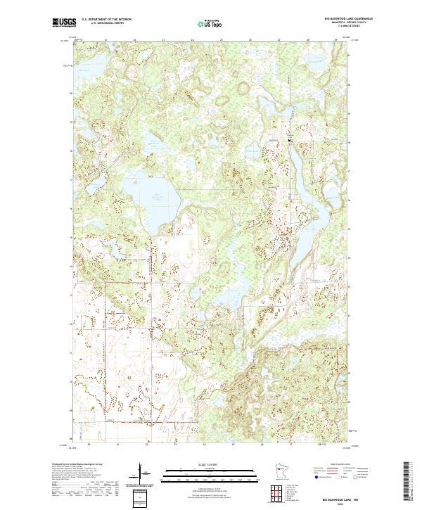
2022 Big Basswood Lake
Becker County, MN
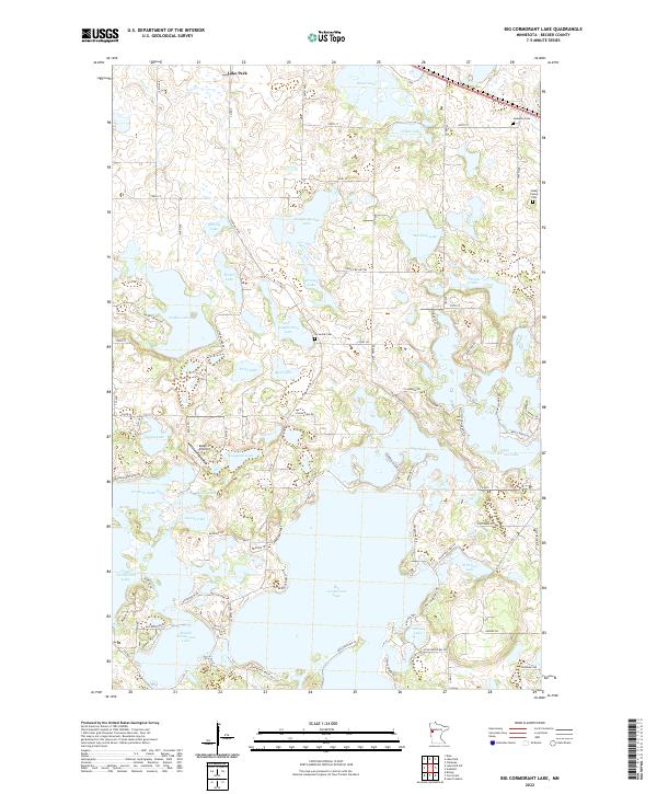
2022 Big Cormorant Lake
Becker County, MN
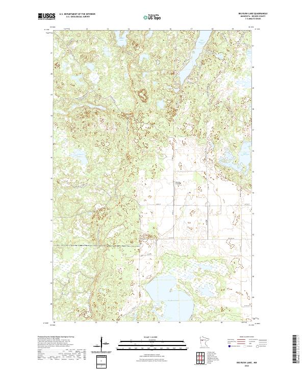
2022 Big Rush Lake
Becker County, MN
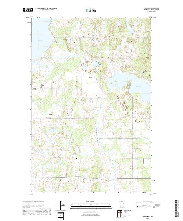
2022 Evergreen
Becker County, MN
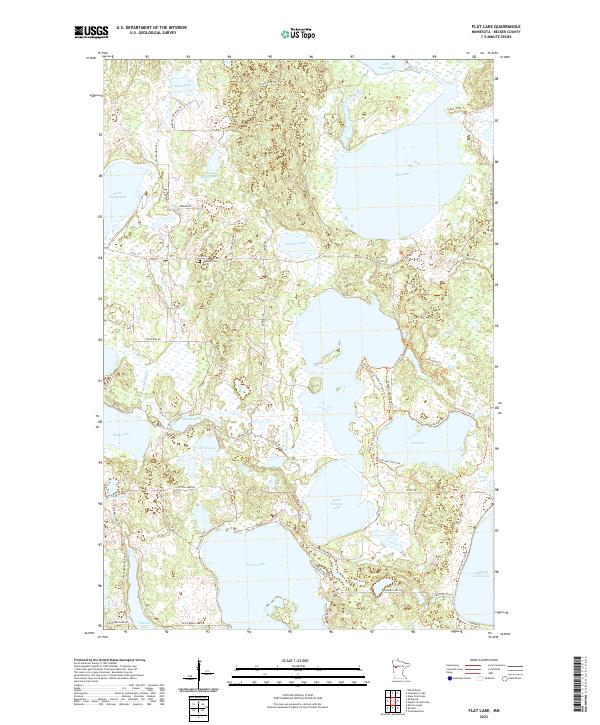
2022 Flat Lake
Becker County, MN
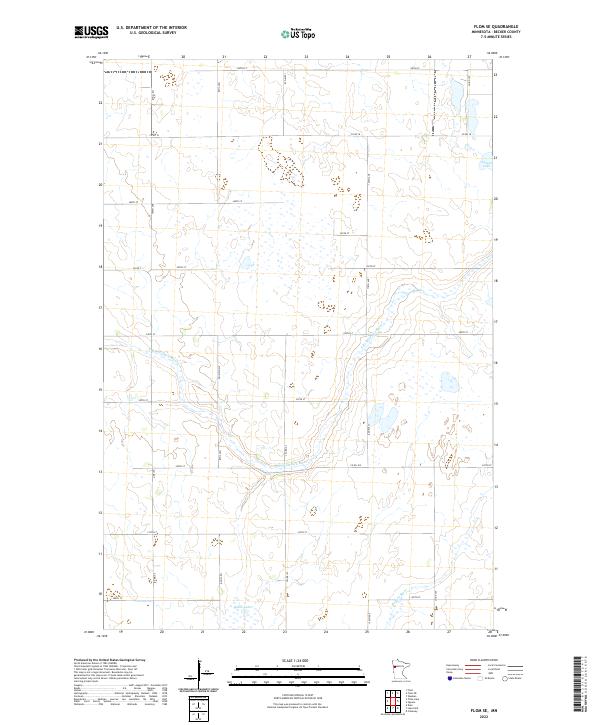
2022 Flom SE
Becker County, MN
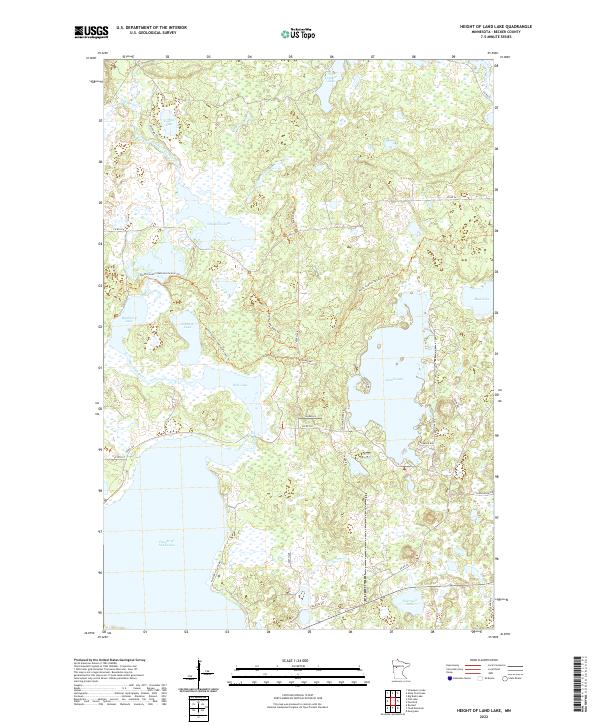
2022 Height of Land Lake
Becker County, MN
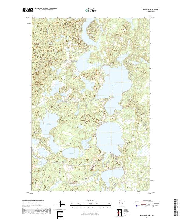
2022 Many Point Lake
Becker County, MN
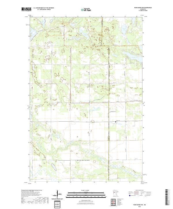
2022 Park Rapids NW
Becker County, MN
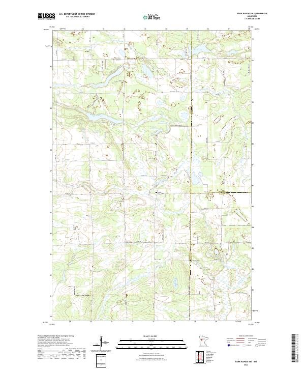
2022 Park Rapids SW
Becker County, MN
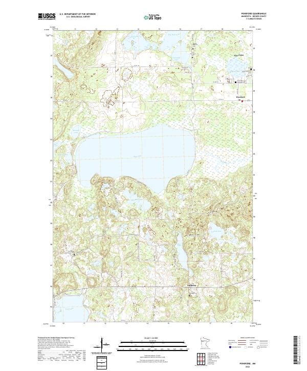
2022 Ponsford
Becker County, MN
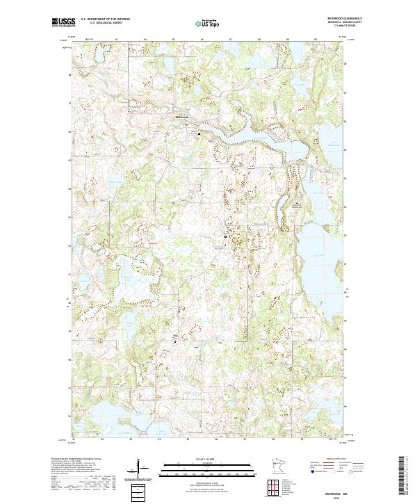
2022 Richwood
Becker County, MN
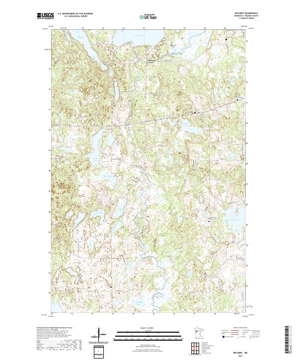
2022 Rochert
Becker County, MN
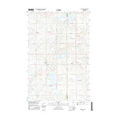
2022 Strawberry Lake
Becker County, MN
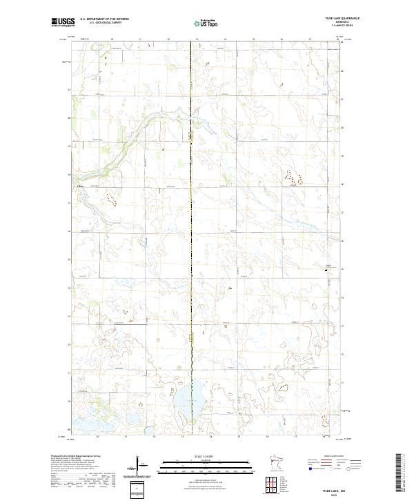
2022 Tilde Lake
Becker County, MN
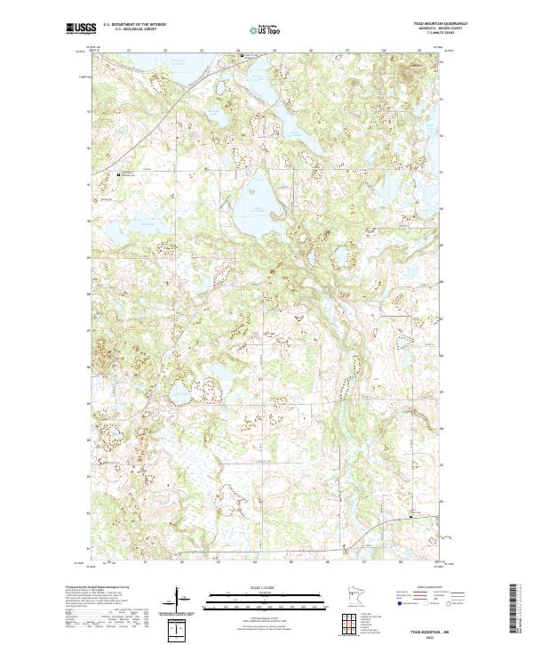
2022 Toad Mountain
Becker County, MN
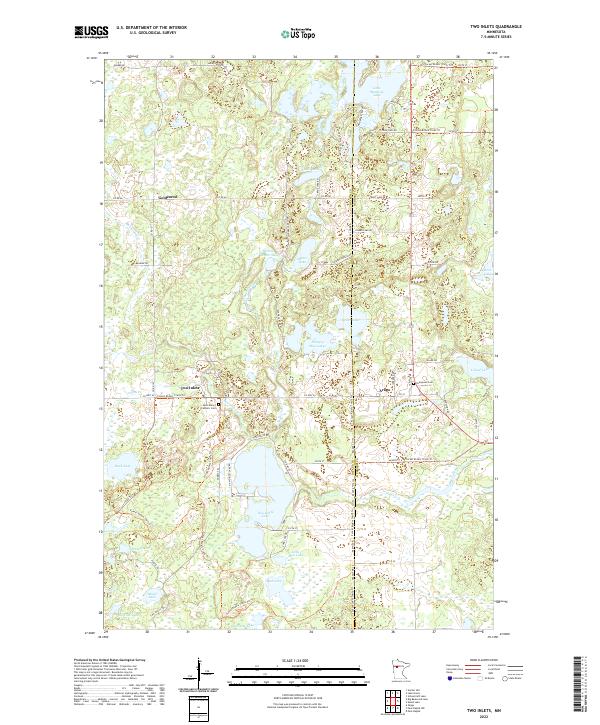
2022 Two Inlets
Becker County, MN