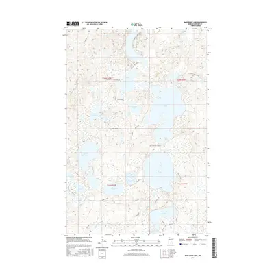
2016 Map of Many Point Lake
USGS Topo · Published 2016About this map
Many Point Lake and the surrounding Becker County wilderness define this 2016 survey, where the Otter Tail River winds through a dense network of glacial basins. The landscape is dominated by a chain of water bodies, including Round Lake, Ice Cracking Lake, and the long, irregular shoreline of Elbow Lake. This map captures a modern view of the regional recreation and transport infrastructure, featuring access points like Many Point Scout Camp Rd and Little Bemidji Rd. The intricate drainage pattern of the Egg River and isolated lakes like Waboose Lake or Spindler Lake reflect the wetland-heavy character of this part of Minnesota. For the local historian or outdoorsman, the map detail encompasses everything from established county roads to remote paths like the Mallard Trail and N Ice Cracking Trl.
Find a feature on this map
43 named features on this map. Tap any name to fly to it.
Don’t see what you’re looking for? This feature index may not catch every label — zoom into the map to look around manually.
Map Details
Editions of this 2016 Many Point Lake Map
This is the sole edition of this map. No revisions or reprints were ever made.
Other maps of this area

1953 · Brainerd
USGS Topo · 1:250,000

1954 · Bemidji
USGS Topo · 1:250,000

1957 · Brainerd
USGS Topo · 1:250,000

1957 · Bemidji
USGS Topo · 1:250,000

1958 · Bemidji
USGS Topo · 1:250,000

1958 · Brainerd
USGS Topo · 1:250,000

1959 · Flat Lake
USGS Topo · 1:24,000

1959 · Height Of Land Lake
USGS Topo · 1:24,000

1965 · Brainerd
USGS Topo · 1:250,000

1969 · Many Point Lake
USGS Topo · 1:24,000