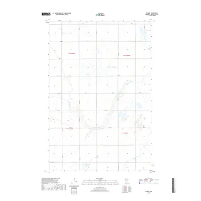
2019 Map of Flom SE
USGS Topo · Published 2019About this map
S Br Wild Rice River meanders across this rural section of Becker County, defining much of the local topography through its winding drainage basin. The landscape is primarily organized by the Public Land Survey System, with a rigid grid of gravel roads like Co Rd 7 and 300th St cutting through a terrain dotted with small wetlands and kettle lakes. In the northeast corner, Lemon Lake sits at the edge of the survey, while Balke Lake anchors the southern boundary. This area represents the quiet agricultural and water-rich transition of northwestern Minnesota, where local routes such as Mn Main 150 and Co Rd 105 connect isolated farmsteads and manage the flow of travel through the river's floodplains.
Find a feature on this map
27 named features on this map. Tap any name to fly to it.
Don’t see what you’re looking for? This feature index may not catch every label — zoom into the map to look around manually.
Map Details
Editions of this 2019 Flom SE Map
This is the sole edition of this map. No revisions or reprints were ever made.
Other maps of this area

1918 · Flom
USGS Topo · 1:62,500

1952 · Grand Forks
USGS Topo · 1:250,000

1953 · Fargo
USGS Topo · 1:250,000

1953 · Brainerd
USGS Topo · 1:250,000

1954 · Bemidji
USGS Topo · 1:250,000

1956 · Fargo
USGS Topo · 1:250,000

1956 · Grand Forks
USGS Topo · 1:250,000

1957 · Brainerd
USGS Topo · 1:250,000

1957 · Bemidji
USGS Topo · 1:250,000

1958 · Bemidji
USGS Topo · 1:250,000