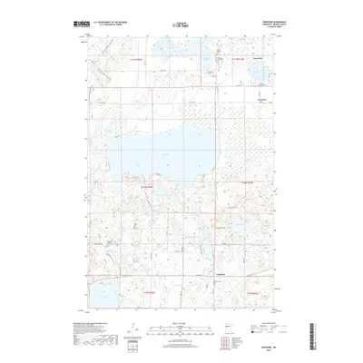
2019 Map of Ponsford
USGS Topo · Published 2019About this map
Pine Point and Ponsford anchor this landscape of the White Earth Indian Reservation, where a network of glacial lakes and wetlands defines the local geography. The map reveals a deeply-rooted community evidenced by several distinct burial sites, including the Grand Medicine Cem and Saint Theodore Cem near the northern boundary. The central expanse is dominated by Shell Lake, which feeds into the Shell River as it flows eastward. This area transition from the open waters of Mission Lake to the dense, low-lying marshes surrounding Mud Lake and Big Rush Lake. To the south, the settlement of Snellman sits near the Snellman Cem, while the N Country National Scenic Trail winds through the northwestern corner, providing a glimpse into the modern recreational use of these traditional timberlands.
Find a feature on this map
59 named features on this map. Tap any name to fly to it.
Don’t see what you’re looking for? This feature index may not catch every label — zoom into the map to look around manually.
Map Details
Editions of this 2019 Ponsford Map
This is the sole edition of this map. No revisions or reprints were ever made.
Other maps of this area

1953 · Brainerd
USGS Topo · 1:250,000

1954 · Bemidji
USGS Topo · 1:250,000

1957 · Brainerd
USGS Topo · 1:250,000

1957 · Bemidji
USGS Topo · 1:250,000

1958 · Bemidji
USGS Topo · 1:250,000

1958 · Brainerd
USGS Topo · 1:250,000

1959 · Toad Mountain
USGS Topo · 1:24,000

1959 · Height Of Land Lake
USGS Topo · 1:24,000

1965 · Brainerd
USGS Topo · 1:250,000

1969 · Many Point Lake
USGS Topo · 1:24,000