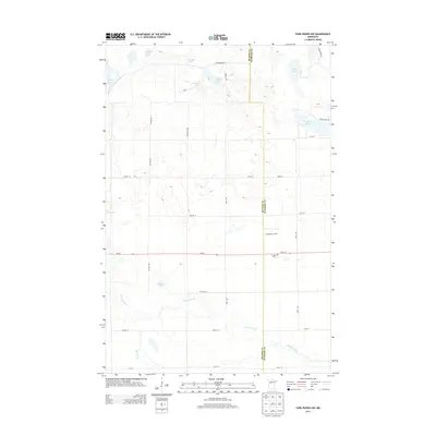
2013 Map of Park Rapids NW
USGS Topo · Published 2013About this map
The Straight River and Shell River wind through this pocket of the Minnesota lake country, defining a landscape shaped by glacial depressions and wetlands. Straddling the border of Becker and Hubbard counties, the area is punctuated by numerous named bodies of water including the descriptively titled One Acre Lake, Fools Lake, and Horseshoe Lake. The road network, including MN-34, reflects a rural development pattern of section-line roads like Witter Ave and Brill Ave that navigate between the lakes and marshes. Near the intersection of State 34 and 109th Ave, the Crandall Cem serves as a localized point of historical interest, while the presence of Portage Lake and Knights Lake further north suggests the longstanding importance of these waters for recreation and transit in the region.
Find a feature on this map
34 named features on this map. Tap any name to fly to it.
Don’t see what you’re looking for? This feature index may not catch every label — zoom into the map to look around manually.
Map Details
Editions of this 2013 Park Rapids NW Map
This is the sole edition of this map. No revisions or reprints were ever made.
Other maps of this area

1953 · Brainerd
USGS Topo · 1:250,000

1954 · Bemidji
USGS Topo · 1:250,000

1957 · Brainerd
USGS Topo · 1:250,000

1957 · Bemidji
USGS Topo · 1:250,000

1958 · Bemidji
USGS Topo · 1:250,000

1958 · Brainerd
USGS Topo · 1:250,000

1965 · Brainerd
USGS Topo · 1:250,000

1969 · Wolf Lake
USGS Topo · 1:24,000

1969 · Park Rapids
USGS Topo · 1:24,000

1969 · Menahga
USGS Topo · 1:24,000