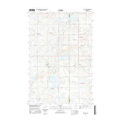
2016 Map of Two Inlets
USGS Topo · Published 2016About this map
The boundary between Becker and Hubbard counties defines the landscape of this 2016 survey, a region characterized by its dense concentration of glacial lakes and small settlements. Two Inlets serves as a primary local landmark, situated near the western edge of Two Inlets Lake and the Saint Mary's Catholic Cemetery. Further east, the community of Arago sits amidst a network of roads like Co 41 and TWP RD 7, while Evergreen Cemetery provides a historical point of interest for researchers.
Find a feature on this map
76 named features on this map. Tap any name to fly to it.
Don’t see what you’re looking for? This feature index may not catch every label — zoom into the map to look around manually.
Map Details
Editions of this 2016 Two Inlets Map
This is the sole edition of this map. No revisions or reprints were ever made.
Other maps of this area

1953 · Brainerd
USGS Topo · 1:250,000

1954 · Bemidji
USGS Topo · 1:250,000

1957 · Brainerd
USGS Topo · 1:250,000

1957 · Bemidji
USGS Topo · 1:250,000

1958 · Bemidji
USGS Topo · 1:250,000

1958 · Brainerd
USGS Topo · 1:250,000

1965 · Brainerd
USGS Topo · 1:250,000

1969 · Park Rapids
USGS Topo · 1:24,000

1969 · Anchor Hill
USGS Topo · 1:24,000

1969 · Big Basswood Lake
USGS Topo · 1:24,000