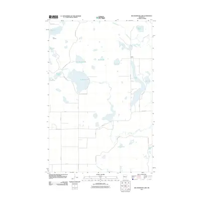
2011 Map of Big Basswood Lake
USGS Topo · Published 2011About this map
Big Basswood Lake and a surrounding cluster of glacial basins define this landscape in Becker County during the early 21st century. The map reveals an area defined by its hydrology, where small creeks like Basswood Creek and Indian Creek connect numerous bodies of water, including the uniquely named Kneebone Lake and Sockeye Lake. A controlled water level is evidenced by the Bass Lake Dam at the northern edge of Bass Lake.
Find a feature on this map
34 named features on this map. Tap any name to fly to it.
Don’t see what you’re looking for? This feature index may not catch every label — zoom into the map to look around manually.
Map Details
Editions of this 2011 Big Basswood Lake Map
This is the sole edition of this map. No revisions or reprints were ever made.
Other maps of this area

1953 · Brainerd
USGS Topo · 1:250,000

1954 · Bemidji
USGS Topo · 1:250,000

1957 · Brainerd
USGS Topo · 1:250,000

1957 · Bemidji
USGS Topo · 1:250,000

1958 · Bemidji
USGS Topo · 1:250,000

1958 · Brainerd
USGS Topo · 1:250,000

1965 · Brainerd
USGS Topo · 1:250,000

1969 · Anchor Hill
USGS Topo · 1:24,000

1969 · Big Basswood Lake
USGS Topo · 1:24,000
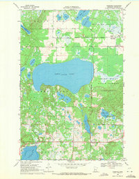
1969 · Ponsford
USGS Topo · 1:24,000