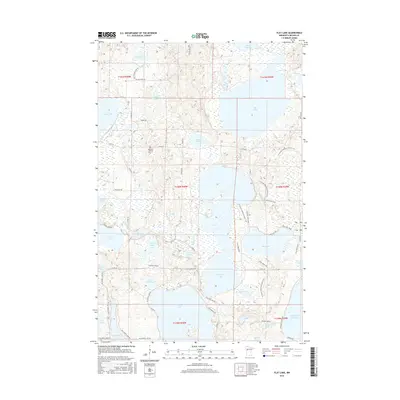
2016 Map of Flat Lake
USGS Topo · Published 2016About this map
Cotton Lake and Pine Lake dominate the hydrography of this Becker County region, where the intricate network of the Otter Tail River and Buffalo River shapes the glacial landscape. The 2016 survey documents a transition in land use, where local roads such as Rock Rice Rd and Co Rd 26 intersect with historic pathways like the Old Indian Trail and the expansive N Country National Scenic Trail. For genealogists and local historians, the Egelund Lutheran Cem serves as a key landmark in Township 140N, Range 40W. The presence of named trails like Yellow Head Trl and specialized loops around S Tamarac Lake and Pine Lake highlights the modern importance of conservation and outdoor access in this lake-dense portion of Minnesota.
Find a feature on this map
64 named features on this map. Tap any name to fly to it.
Don’t see what you’re looking for? This feature index may not catch every label — zoom into the map to look around manually.
Map Details
Editions of this 2016 Flat Lake Map
This is the sole edition of this map. No revisions or reprints were ever made.
Other maps of this area

1953 · Brainerd
USGS Topo · 1:250,000

1954 · Bemidji
USGS Topo · 1:250,000

1957 · Brainerd
USGS Topo · 1:250,000

1957 · Bemidji
USGS Topo · 1:250,000

1958 · Bemidji
USGS Topo · 1:250,000

1958 · Brainerd
USGS Topo · 1:250,000

1959 · Toad Mountain
USGS Topo · 1:24,000

1959 · Flat Lake
USGS Topo · 1:24,000

1959 · Rochert
USGS Topo · 1:24,000

1959 · Richwood
USGS Topo · 1:24,000