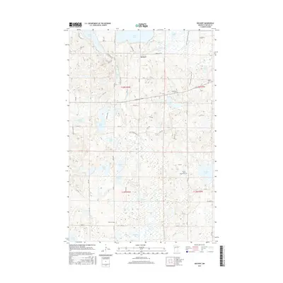
2016 Map of Rochert
USGS Topo · Published 2016About this map
Rochert serves as the central settlement in this portion of Becker County, situated along the Otter Tail River as it flows between Cotton Lake and Hubbel Pond. The landscape is defined by an intricate network of glacial lakes and wetlands, including Hungry Lake, Elbow Lake, and Rice Lake. This geography influenced the winding path of the N Country National Scenic Trail, which meanders through the eastern section of the map past Alvin Lake.
Find a feature on this map
67 named features on this map. Tap any name to fly to it.
Don’t see what you’re looking for? This feature index may not catch every label — zoom into the map to look around manually.
Map Details
Editions of this 2016 Rochert Map
This is the sole edition of this map. No revisions or reprints were ever made.
Other maps of this area

1912 · Vergas
USGS Topo · 1:62,500

1915 · Perham
USGS Topo · 1:62,500

1915 · Vergas
USGS Topo · 1:62,500

1953 · Brainerd
USGS Topo · 1:250,000

1957 · Brainerd
USGS Topo · 1:250,000

1958 · Brainerd
USGS Topo · 1:250,000

1959 · Toad Mountain
USGS Topo · 1:24,000

1959 · Flat Lake
USGS Topo · 1:24,000

1959 · Rochert
USGS Topo · 1:24,000

1959 · Richwood
USGS Topo · 1:24,000