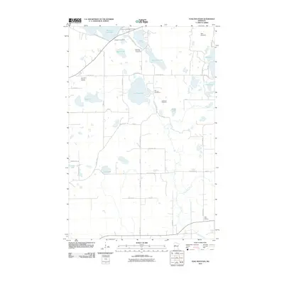
2010 Map of Toad Mountain
USGS Topo · Published 2010About this map
Toad Mountain rises above a glaciated landscape in Becker County, defined by an intricate network of interconnected waterways and wetlands. The geography is anchored by large bodies of water including Toad Lake, Height of Land Lake, and the twin basins of North Twin Lake and South Twin Lake. Human modification of this natural system is evident at the Height of Land Dam and Little Toad Lake Dam, which regulate the flow between these basins.
Find a feature on this map
49 named features on this map. Tap any name to fly to it.
Don’t see what you’re looking for? This feature index may not catch every label — zoom into the map to look around manually.
Map Details
Editions of this 2010 Toad Mountain Map
This is the sole edition of this map. No revisions or reprints were ever made.
Other maps of this area

1915 · Perham
USGS Topo · 1:62,500

1953 · Brainerd
USGS Topo · 1:250,000

1957 · Brainerd
USGS Topo · 1:250,000

1958 · Brainerd
USGS Topo · 1:250,000

1959 · Toad Mountain
USGS Topo · 1:24,000

1959 · Flat Lake
USGS Topo · 1:24,000

1959 · Rochert
USGS Topo · 1:24,000

1959 · Height Of Land Lake
USGS Topo · 1:24,000

1965 · Brainerd
USGS Topo · 1:250,000

1969 · Evergreen
USGS Topo · 1:24,000