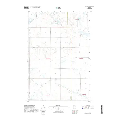
2019 Map of Park Rapids NW
USGS Topo · Published 2019About this map
Glacial lakes and meandering waterways dominate the landscape northwest of Park Rapids along the Becker and Hubbard County line. The hydrology of the region is defined by the Straight River and Shell River, which wind through low-lying wetlands and timbered sections. To the north, a cluster of named water bodies including Horseshoe Lake, Fools Lake, and the diminutive One Acre Lake illustrates the dense lake concentration typical of this part of Minnesota.
Find a feature on this map
52 named features on this map. Tap any name to fly to it.
Don’t see what you’re looking for? This feature index may not catch every label — zoom into the map to look around manually.
Map Details
Editions of this 2019 Park Rapids NW Map
This is the sole edition of this map. No revisions or reprints were ever made.
Other maps of this area

1953 · Brainerd
USGS Topo · 1:250,000

1954 · Bemidji
USGS Topo · 1:250,000

1957 · Brainerd
USGS Topo · 1:250,000

1957 · Bemidji
USGS Topo · 1:250,000

1958 · Bemidji
USGS Topo · 1:250,000

1958 · Brainerd
USGS Topo · 1:250,000

1965 · Brainerd
USGS Topo · 1:250,000

1969 · Wolf Lake
USGS Topo · 1:24,000

1969 · Park Rapids
USGS Topo · 1:24,000

1969 · Menahga
USGS Topo · 1:24,000