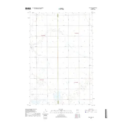
2019 Map of Tilde Lake
USGS Topo · Published 2019About this map
Tilde Lake and the meandering path of the S Br Wild Rice River anchor this 2019 survey of the prairie landscape along the Clay and Becker County line. The terrain is defined by glacial kettle lakes and a rigid grid of township roads that service a productive agricultural region. The village of Ulen sits in the northwest, a primary center of settlement in this part of western Minnesota. Local history is physically marked by the Atlanta Lutheran Cem to the east, which remains a visible landmark of the Scandinavian immigrant heritage common to this area. Small drainages like Stiner Cr cut through the sections, feeding into the wider river system and providing the only breaks in the geometric field patterns that dominate the region.
Find a feature on this map
37 named features on this map. Tap any name to fly to it.
Don’t see what you’re looking for? This feature index may not catch every label — zoom into the map to look around manually.
Map Details
Editions of this 2019 Tilde Lake Map
This is the sole edition of this map. No revisions or reprints were ever made.
Other maps of this area

1918 · Flom
USGS Topo · 1:62,500

1918 · Ulen
USGS Topo · 1:62,500

1919 · Hawley
USGS Topo · 1:62,500

1952 · Grand Forks
USGS Topo · 1:250,000

1953 · Fargo
USGS Topo · 1:250,000

1956 · Fargo
USGS Topo · 1:250,000

1956 · Grand Forks
USGS Topo · 1:250,000

1965 · Syre
USGS Topo · 1:24,000

1966 · Flom
USGS Topo · 1:24,000

1966 · Grand Forks
USGS Topo · 1:250,000