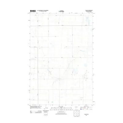
2013 Map of Flom SE
USGS Topo · Published 2013About this map
The S Br Wild Rice River meanders across this rural section of Becker County, carving a winding path through the glacial terrain of northwestern Minnesota. The landscape is defined by its water features, including the isolated Cucumber Lake in the northeast corner and Balke Lake near the southern boundary. This area represents a classic prairie-pothole and riverine environment, where the drainage of the Buffalo River begins to influence the local topography. A rigid grid of section-line roads, such as 150th Ave and 340th St, segments the land for agricultural use, while larger arteries like Co Hwy-16 and Co Hwy-7 provide the primary transit corridors through this sparsely populated territory.
Find a feature on this map
22 named features on this map. Tap any name to fly to it.
Don’t see what you’re looking for? This feature index may not catch every label — zoom into the map to look around manually.
Map Details
Editions of this 2013 Flom SE Map
This is the sole edition of this map. No revisions or reprints were ever made.
Other maps of this area

1918 · Flom
USGS Topo · 1:62,500

1952 · Grand Forks
USGS Topo · 1:250,000

1953 · Fargo
USGS Topo · 1:250,000

1953 · Brainerd
USGS Topo · 1:250,000

1954 · Bemidji
USGS Topo · 1:250,000

1956 · Fargo
USGS Topo · 1:250,000

1956 · Grand Forks
USGS Topo · 1:250,000

1957 · Brainerd
USGS Topo · 1:250,000

1957 · Bemidji
USGS Topo · 1:250,000

1958 · Bemidji
USGS Topo · 1:250,000