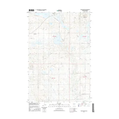
2016 Map of Toad Mountain
USGS Topo · Published 2016About this map
Toad Mountain stands as a prominent landmark in this lake-dotted landscape of Becker County, where the transition between glacial uplands and sprawling wetlands is defined by the Toad River and its various tributaries. This 2016 survey provides a clear view of the rural fabric, anchored by local religious and memorial sites such as the Church of the Wildwood and the Saint John's Lutheran Church. The map details a complex hydrographic system featuring the Height of Land Lake, Little Toad Lake, and Lizzy Lake, which are interconnected by smaller creeks like Dead Horse Cr and Collett Cr. For those researching local heritage, the inclusion of the Wildwood Cem, Saint John's Lutheran Cem, and Saint Paul's Cem provides precise locations for genealogical study within this historically significant township grid.
Find a feature on this map
42 named features on this map. Tap any name to fly to it.
Don’t see what you’re looking for? This feature index may not catch every label — zoom into the map to look around manually.
Map Details
Editions of this 2016 Toad Mountain Map
This is the sole edition of this map. No revisions or reprints were ever made.
Other maps of this area
1915 · Perham
USGS Topo · 1:62,500
1953 · Brainerd
USGS Topo · 1:250,000
1957 · Brainerd
USGS Topo · 1:250,000
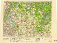
1958 · Brainerd
USGS Topo · 1:250,000
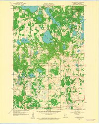
1959 · Toad Mountain
USGS Topo · 1:24,000
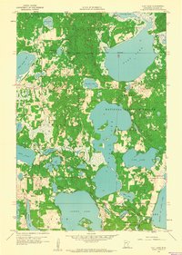
1959 · Flat Lake
USGS Topo · 1:24,000
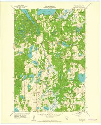
1959 · Rochert
USGS Topo · 1:24,000
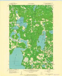
1959 · Height Of Land Lake
USGS Topo · 1:24,000
1965 · Brainerd
USGS Topo · 1:250,000
1969 · Evergreen
USGS Topo · 1:24,000