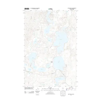
2013 Map of Many Point Lake
USGS Topo · Published 2013About this map
Many Point Lake and its surrounding glacial basin dominate this northern Minnesota landscape, where a complex network of waterways connects deep in the woods of Becker County. The Otter Tail River winds through the southern reaches of the map, linking Ice Cracking Lake and Tea Cracker Lake while passing near Round Lake. This area is characterized by a high density of water bodies, including Waboose Lake, Spindler Lake, and the connected Upper Egg Lake and Lower Egg Lake systems.
Find a feature on this map
29 named features on this map. Tap any name to fly to it.
Don’t see what you’re looking for? This feature index may not catch every label — zoom into the map to look around manually.
Map Details
Editions of this 2013 Many Point Lake Map
This is the sole edition of this map. No revisions or reprints were ever made.
Other maps of this area

1953 · Brainerd
USGS Topo · 1:250,000

1954 · Bemidji
USGS Topo · 1:250,000

1957 · Brainerd
USGS Topo · 1:250,000

1957 · Bemidji
USGS Topo · 1:250,000

1958 · Bemidji
USGS Topo · 1:250,000

1958 · Brainerd
USGS Topo · 1:250,000

1959 · Flat Lake
USGS Topo · 1:24,000

1959 · Height Of Land Lake
USGS Topo · 1:24,000

1965 · Brainerd
USGS Topo · 1:250,000

1969 · Many Point Lake
USGS Topo · 1:24,000