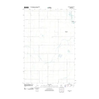
2011 Map of Flom SE
USGS Topo · Published 2011About this map
The South Branch Wild Rice River meanders across this rural section of Becker County, defined by its complex hydrology and agricultural grid. Significant water control points are visible at the South Branch Wild Rice River Upper Dam and the South Branch Wild Rice River Lower Dam, reflecting local efforts to manage the river's flow through the prairie landscape. To the northeast, a cluster of uniquely named glacial lakes including Cucumber Lake, Banana Lake, and Lemon Lake dot the terrain, while the Buffalo River skims the southern edge of the quadrangle.
Find a feature on this map
29 named features on this map. Tap any name to fly to it.
Don’t see what you’re looking for? This feature index may not catch every label — zoom into the map to look around manually.
Map Details
Editions of this 2011 Flom SE Map
This is the sole edition of this map. No revisions or reprints were ever made.
Other maps of this area

1918 · Flom
USGS Topo · 1:62,500

1952 · Grand Forks
USGS Topo · 1:250,000

1953 · Fargo
USGS Topo · 1:250,000

1953 · Brainerd
USGS Topo · 1:250,000

1954 · Bemidji
USGS Topo · 1:250,000

1956 · Fargo
USGS Topo · 1:250,000

1956 · Grand Forks
USGS Topo · 1:250,000

1957 · Brainerd
USGS Topo · 1:250,000

1957 · Bemidji
USGS Topo · 1:250,000

1958 · Bemidji
USGS Topo · 1:250,000