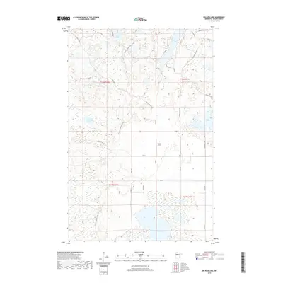
2019 Map of Big Rush Lake
USGS Topo · Published 2019About this map
Big Rush Lake and Bad Medicine Lake dominate this Becker County landscape, where glacial kettle lakes and wetlands create a complex watery mosaic. The N Country National Scenic Trail winds through the central portion of the quadrangle, crossing a terrain defined by subtle elevation changes and dense forestry tracks. Evidence of the region's recreational and seasonal economy is found in labels like Many Point Scout Camp Rd and the Bad Medicine Resort Rd. Aviation presence is marked by Rooney Airfield, a solitary landing strip situated amongst the timber and lakes. This 2019 survey documents a network of forest trails and county roads, such as Elbow Lake Rd and Old Many Pt Forest Trl, that provide access to isolated water bodies like Juggler Lake and Lake Wahbegon.
Find a feature on this map
33 named features on this map. Tap any name to fly to it.
Don’t see what you’re looking for? This feature index may not catch every label — zoom into the map to look around manually.
Map Details
Editions of this 2019 Big Rush Lake Map
This is the sole edition of this map. No revisions or reprints were ever made.
Other maps of this area

1953 · Brainerd
USGS Topo · 1:250,000

1954 · Bemidji
USGS Topo · 1:250,000

1957 · Brainerd
USGS Topo · 1:250,000

1957 · Bemidji
USGS Topo · 1:250,000

1958 · Bemidji
USGS Topo · 1:250,000

1958 · Brainerd
USGS Topo · 1:250,000

1959 · Height Of Land Lake
USGS Topo · 1:24,000

1965 · Brainerd
USGS Topo · 1:250,000

1969 · Many Point Lake
USGS Topo · 1:24,000

1969 · Tulaby Lake
USGS Topo · 1:24,000