
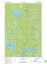
1969 Map of Tulaby Lake
USGS Topo · Published 1971About this map
Tulaby Lake and the surrounding glacial landscape are the central focus of this late 1960s survey within the White Earth Indian Reservation. The area is defined by its complex hydrology, where larger bodies like Bass Lake and Elbow Lake are interspersed with smaller waters such as Sawmill Lake and Stump Lake. Human settlement is concentrated at Elbow Lake Village, while local spiritual and community life is anchored by St Frances Cabrini Ch and Calvary Ch.
Find a feature on this map
39 named features on this map. Tap any name to fly to it.
Don’t see what you’re looking for? This feature index may not catch every label — zoom into the map to look around manually.
Map Details
Editions of this 1969 Tulaby Lake Map
2 editions found
Other maps of this area

1954 · Bemidji
USGS Topo · 1:250,000

1957 · Bemidji
USGS Topo · 1:250,000

1958 · Bemidji
USGS Topo · 1:250,000

1969 · North Twin Lake
USGS Topo · 1:24,000

1969 · Many Point Lake
USGS Topo · 1:24,000

1969 · Roy Lake
USGS Topo · 1:24,000
1969 · Strawberry Lake
USGS Topo · 1:24,000

1969 · Snider Lake
USGS Topo · 1:24,000
1969 · Big Rush Lake
USGS Topo · 1:24,000

1969 · Long Lost Lake
USGS Topo · 1:24,000