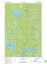
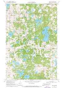
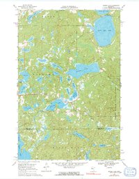
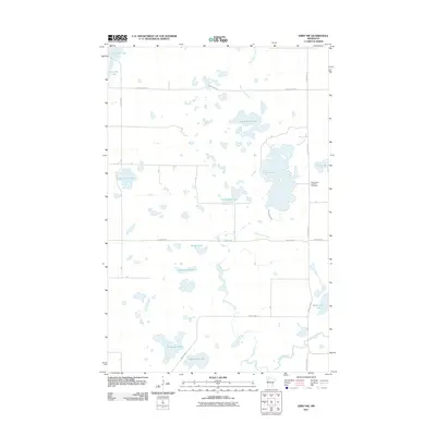
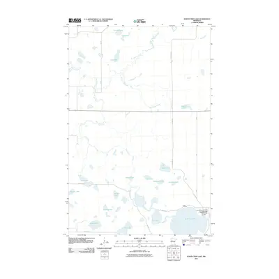
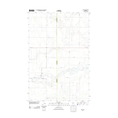
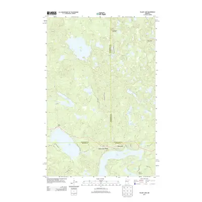
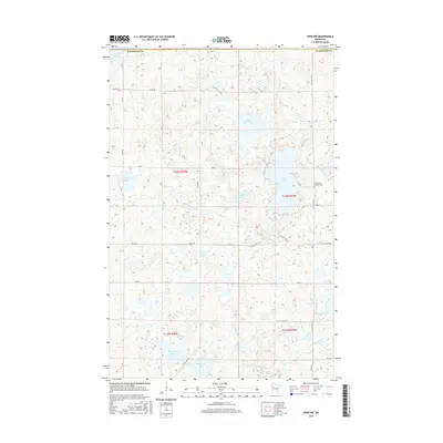
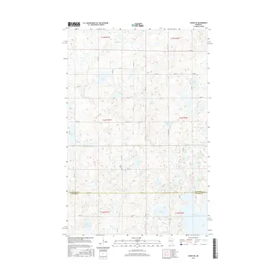
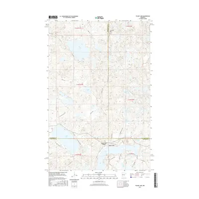
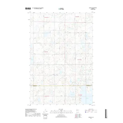
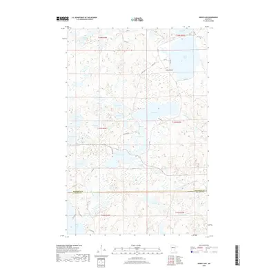
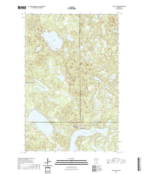
1969 Map of Tulaby Lake
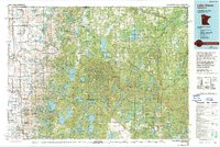
USGS Topo · Published 1992About this map
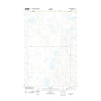
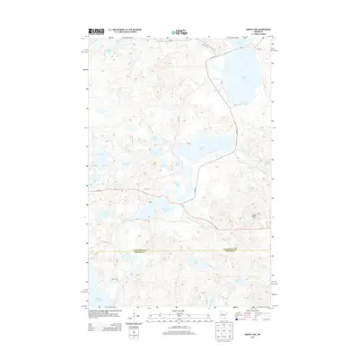
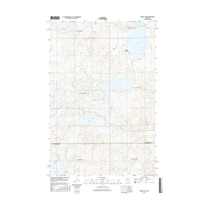
Elbow Lake and its surrounding wetlands form a complex aquatic landscape where Mahnomen, Becker, and Clearwater counties meet within the White Earth Indian Reservation. The settlement of Elbow Lake Village is a central hub for this lake-dotted region, situated near St Frances Cabrini Ch and a local Gravel Pit. Further west along the shores of Tulaby Lake, the Calvary Ch and a nearby Cem serve the local community.
Find a feature on this map
38 named features on this map. Tap any name to fly to it.
Don’t see what you’re looking for? This feature index may not catch every label — zoom into the map to look around manually.
Map Details
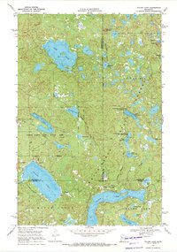
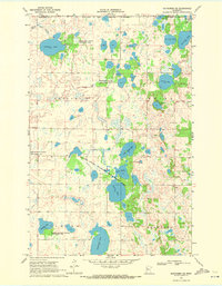
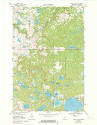
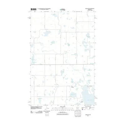
Editions of this 1969 Tulaby Lake Map
2 editions found
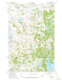
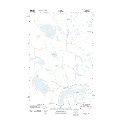
Historical Maps of Elbow Lake Through Time
55 maps found

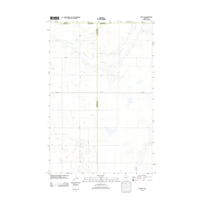
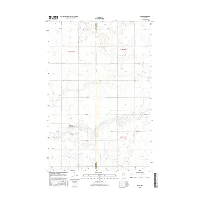
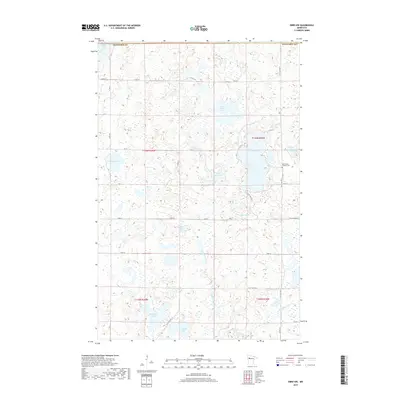
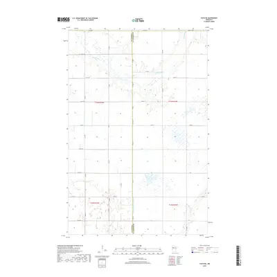
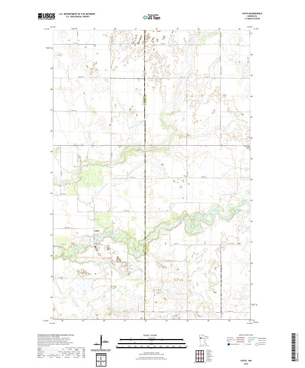
1966 Faith
Mahnomen County, MN
1966 Faith NE
Mahnomen County, MN
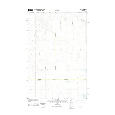
1966 Flom NE
Mahnomen County, MN
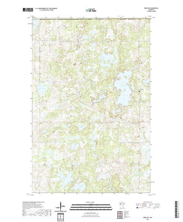
1969 Ebro NW
Mahnomen County, MN
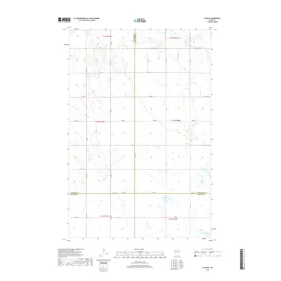
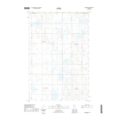
1969 Mahnomen NE
Mahnomen County, MN
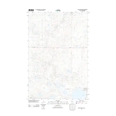
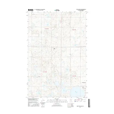
1969 North Twin Lake
Mahnomen County, MN
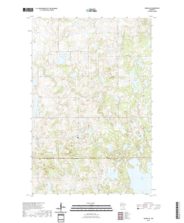
1969 Ogema NE
Mahnomen County, MN
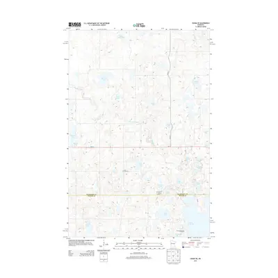
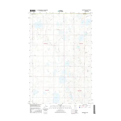
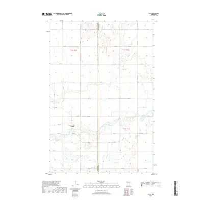
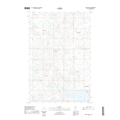
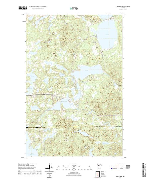
1969 Snider Lake
Mahnomen County, MN
1969 Tulaby Lake
Mahnomen County, MN
1985 Lake Itasca
Mahnomen County, MN
2010 Mahnomen NE
Mahnomen County, MN
2010 Snider Lake
Mahnomen County, MN
2011 Ebro NW
Mahnomen County, MN
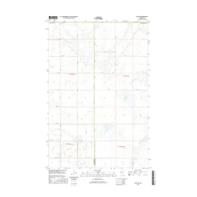
2011 Faith
Mahnomen County, MN
2011 Faith NE
Mahnomen County, MN
2011 Flom NE
Mahnomen County, MN
2011 North Twin Lake
Mahnomen County, MN
2011 Ogema NE
Mahnomen County, MN
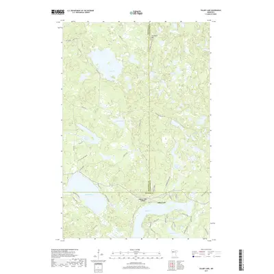
2011 Tulaby Lake
Mahnomen County, MN
2013 Ebro NW
Mahnomen County, MN
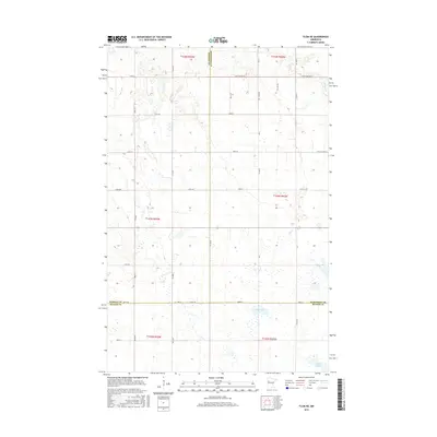
2013 Faith
Mahnomen County, MN
2013 Faith NE
Mahnomen County, MN
2013 Flom NE
Mahnomen County, MN
2013 Mahnomen NE
Mahnomen County, MN
2013 North Twin Lake
Mahnomen County, MN
2013 Ogema NE
Mahnomen County, MN
2013 Snider Lake
Mahnomen County, MN
2013 Tulaby Lake
Mahnomen County, MN
2016 Ebro NW
Mahnomen County, MN
2016 Faith
Mahnomen County, MN
2016 Faith NE
Mahnomen County, MN
2016 Flom NE
Mahnomen County, MN
2016 Mahnomen NE
Mahnomen County, MN
2016 North Twin Lake
Mahnomen County, MN
2016 Ogema NE
Mahnomen County, MN
2016 Snider Lake
Mahnomen County, MN
2016 Tulaby Lake
Mahnomen County, MN
2019 Ebro NW
Mahnomen County, MN
2019 Faith
Mahnomen County, MN
2019 Faith NE
Mahnomen County, MN
2019 Flom NE
Mahnomen County, MN
2019 Mahnomen NE
Mahnomen County, MN
2019 North Twin Lake
Mahnomen County, MN
2019 Ogema NE
Mahnomen County, MN
2019 Snider Lake
Mahnomen County, MN
2019 Tulaby Lake
Mahnomen County, MN
2022 Ebro NW
Mahnomen County, MN
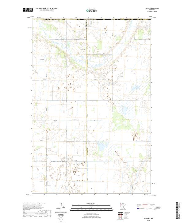
2022 Faith
Mahnomen County, MN
2022 Faith NE
Mahnomen County, MN
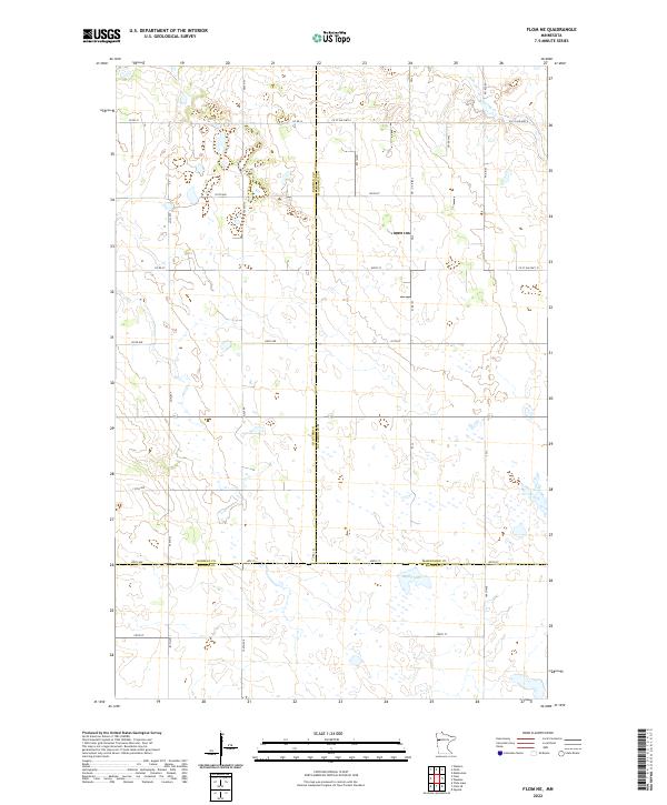
2022 Flom NE
Mahnomen County, MN
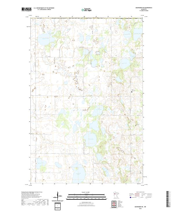
2022 Mahnomen NE
Mahnomen County, MN
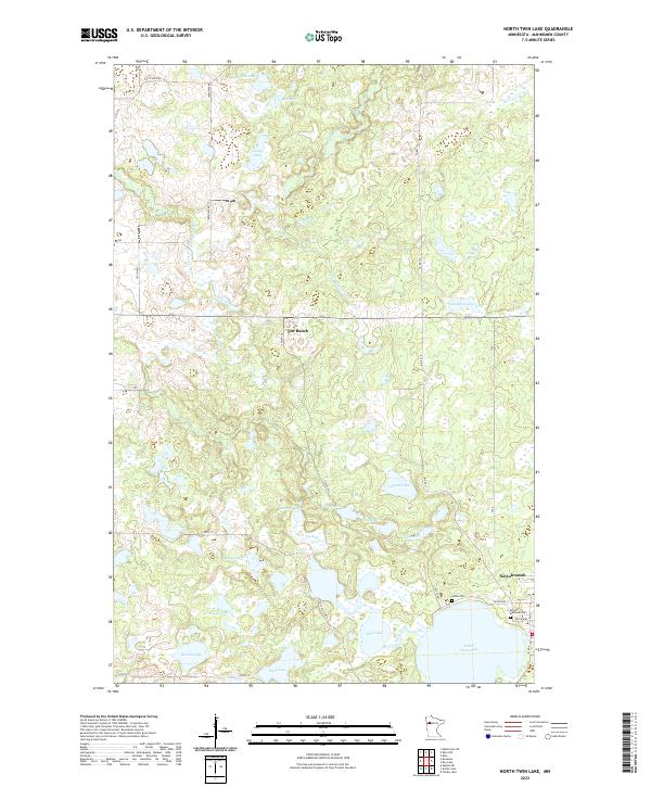
2022 North Twin Lake
Mahnomen County, MN
2022 Ogema NE
Mahnomen County, MN
2022 Snider Lake
Mahnomen County, MN
2022 Tulaby Lake
Mahnomen County, MN