
1969 Map of Snider Lake
USGS Topo · Published 1971About this map
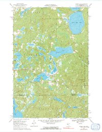
The White Earth State Forest blankets this landscape within the White Earth Indian Reservation, where a complex network of glacial lakes and wetlands defines the terrain. Extensive bathymetric depth curves are provided for major water bodies like South Twin Lake, Snider Lake, and McCraney Lake, indicating a well-documented recreational and natural resource area in the late 1960s. The presence of the Tulaby Lookout Tower and Wayside Park reflects a managed forest environment focused on fire prevention and public access.
Find a feature on this map
34 named features on this map. Tap any name to fly to it.
Don’t see what you’re looking for? This feature index may not catch every label — zoom into the map to look around manually.
Map Details
Editions of this 1969 Snider Lake Map
2 editions found
Other maps of this area

1954 · Bemidji
USGS Topo · 1:250,000

1957 · Bemidji
USGS Topo · 1:250,000

1958 · Bemidji
USGS Topo · 1:250,000

1969 · North Twin Lake
USGS Topo · 1:24,000

1969 · Many Point Lake
USGS Topo · 1:24,000

1969 · Roy Lake
USGS Topo · 1:24,000

1969 · Tulaby Lake
USGS Topo · 1:24,000
1969 · Ogema NE
USGS Topo · 1:24,000
1969 · Strawberry Lake
USGS Topo · 1:24,000
1969 · White Earth
USGS Topo · 1:24,000