
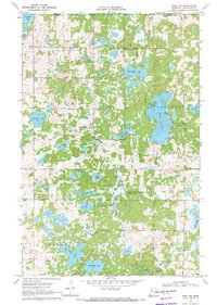
1969 Map of Roy Lake
USGS Topo · Published 1971About this map
Naytahwaush and the surrounding glacial lake country of the White Earth State Forest define this 1969 survey of northwestern Minnesota. Situated entirely within the White Earth Indian Reservation, the landscape is a complex network of wetlands and wooded ridges, with significant water bodies including the namesake Roy Lake, Tamarack Lake, and Long Lake. The map reveals a remote but established community structure, marked by the Townhall near Pine Bend and a Cem. south of Mahkonce. Local transport relies on a series of specialized routes like Auganaush Road and Strawberry Mountain Road, which navigate through conservation lands like the Clearwater State Wildlife Management Area. Notable high points such as Hogback Hill, Norris Hill, and Jack Pine Hill provide topographic variety across the Mahnomen and Clearwater county line.
Find a feature on this map
32 named features on this map. Tap any name to fly to it.
Don’t see what you’re looking for? This feature index may not catch every label — zoom into the map to look around manually.
Map Details
Editions of this 1969 Roy Lake Map
This is the sole edition of this map. No revisions or reprints were ever made.
Other maps of this area

1954 · Bemidji
USGS Topo · 1:250,000

1957 · Bemidji
USGS Topo · 1:250,000

1958 · Bemidji
USGS Topo · 1:250,000

1969 · North Twin Lake
USGS Topo · 1:24,000

1969 · Ebro
USGS Topo · 1:24,000

1969 · Tulaby Lake
USGS Topo · 1:24,000

1969 · Snider Lake
USGS Topo · 1:24,000
1969 · Ebro NW
USGS Topo · 1:24,000

1969 · Long Lost Lake
USGS Topo · 1:24,000
1969 · Zerkel
USGS Topo · 1:24,000