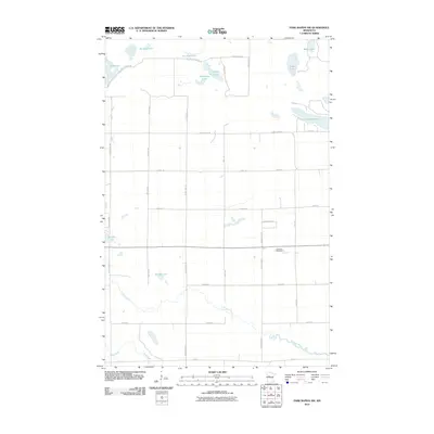
2010 Map of Park Rapids NW
USGS Topo · Published 2010About this map
Straight River and Shell River meander through the southern reaches of this Becker County landscape, defining the hydrology of a region characterized by numerous glacial depressions. The northern half is dotted with small, distinctly named water bodies such as Knights Lake, One Acre Lake, and the uniquely shaped Horseshoe Lake. The road network is established on a grid of county highways and local avenues, including Witter Ave and Brill Ave, which intersect with early logging or transit routes like the S 2 Inlets Truck Trl. Genealogists and local historians will find the Crandall Cemetery located along the east-west corridor near Straight Lake, a primary landmark for the area's rural community. This 2010 survey provides a clear look at the mix of forest trails and maintained roads that connect these remote lakefronts.
Find a feature on this map
38 named features on this map. Tap any name to fly to it.
Don’t see what you’re looking for? This feature index may not catch every label — zoom into the map to look around manually.
Map Details
Editions of this 2010 Park Rapids NW Map
This is the sole edition of this map. No revisions or reprints were ever made.
Other maps of this area

1953 · Brainerd
USGS Topo · 1:250,000

1954 · Bemidji
USGS Topo · 1:250,000

1957 · Brainerd
USGS Topo · 1:250,000

1957 · Bemidji
USGS Topo · 1:250,000

1958 · Bemidji
USGS Topo · 1:250,000

1958 · Brainerd
USGS Topo · 1:250,000

1965 · Brainerd
USGS Topo · 1:250,000

1969 · Wolf Lake
USGS Topo · 1:24,000

1969 · Park Rapids
USGS Topo · 1:24,000

1969 · Menahga
USGS Topo · 1:24,000