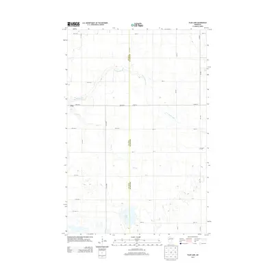
2013 Map of Tilde Lake
USGS Topo · Published 2013About this map
The Clay and Becker county line bisects this landscape of glacial lakes and prairie streams in Western Minnesota. The northwestern corner of the quadrangle is anchored by the community of Ulen, where the terrain begins its transition from organized agricultural sections to a more undulating water-scarce environment. Dominating the central and southern portions of the map are the intricate wetlands and smaller water bodies surrounding Tilde Lake, which provide a contrast to the geometric grid of rural roads like 160th Ave N. The S Br Wild Rice River meanders across the northern half of the sheet, joined by Stiner Cr as it flows westward. For those researching local history, the Atlanta Cem serves as a lone landmark in the eastern agricultural fields, marking a point of interest for genealogists tracing families in this borderland between counties.
Find a feature on this map
28 named features on this map. Tap any name to fly to it.
Don’t see what you’re looking for? This feature index may not catch every label — zoom into the map to look around manually.
Map Details
Editions of this 2013 Tilde Lake Map
This is the sole edition of this map. No revisions or reprints were ever made.
Other maps of this area

1918 · Flom
USGS Topo · 1:62,500

1918 · Ulen
USGS Topo · 1:62,500

1919 · Hawley
USGS Topo · 1:62,500

1952 · Grand Forks
USGS Topo · 1:250,000

1953 · Fargo
USGS Topo · 1:250,000

1956 · Fargo
USGS Topo · 1:250,000

1956 · Grand Forks
USGS Topo · 1:250,000

1965 · Syre
USGS Topo · 1:24,000

1966 · Flom
USGS Topo · 1:24,000

1966 · Grand Forks
USGS Topo · 1:250,000